Browse / United States / Washington / Bryn Mawr-Skyway
Bryn Mawr-Skyway
WashingtonCDP

Bryn Mawr-Skyway
Total population
17,638
Median home value
$655,200
Bachelor's+
Median income
$90,969
Demographic figures from US Census Bureau · ACS 5-year estimates. Overview below cites Wikipedia and may reference a different year.
City facts
Facts from Wikidata (CC0).
Overview
Bryn Mawr-Skyway is a census-designated place (CDP) in King County, Washington, United States. The population was 17,397 at the 2020 census.
Read more on WikipediaHistory & geography
Geography
Skyway lies in an "unincorporated island" bordered to the north by the city of Seattle, to the west by Tukwila, and to the south and east by Renton. The neighborhood was mostly developed just after World War II as affordable housing for returning veterans. The area remains an affordable area close to the high employment areas of Renton and Seattle. The name "Skyway" may be derived from the area's siting on a high ridge in western Washington's hilly terrain, a name that echoes the Welsh "Bryn Mawr" (also the name used for a village and several other places), which means "big hill". Skyway's main business districts lie along Renton Avenue South, with one center between 68th Avenue South and 74th Avenue South, including a small casino, bowling alley, and a grocery outlet, and another district between 75th Avenue South and 78th Avenue South, including a bank branch, the fire station, multiple churches, some auto shops, and the public library (a branch of the King County Library System). There is also a small business district centered at Martin Luther King Way South (State Route 900) around South 129th Street. Skyway Park, with baseball fields, a creek and wetlands, and picnic areas, is located near the center of Skyway. The Bryn Mawr-Skyway CDP is made up of many neighborhoods, including Lakeridge, Campbell Hill and Earlington, in addition to the neighborhoods of Skyway and Bryn Mawr. The community is sometimes called "West Hill". According to the United States Census Bureau, the CDP has a total area of , of which are land and , or 5.73%, are water.
Excerpted from the corresponding Wikipedia article (CC BY-SA).
Demographics & economy
Race & ethnicity
Source: US Census Bureau — American Community Survey, 5-year estimates.
Geography
Coordinates & boundaries from the US Census TIGER/Line shapefiles.
Climate
Current forecast
Forecast for Bryn Mawr-Skyway, WA from NOAA NWS API.
Air quality
Industrial & pollution facilities
Natural hazard risk
Health (adults)
Age-adjusted prevalence estimates from CDC PLACES (latest release).
Walkability
Amenities nearby
Wildlife & biodiversity
Most-observed species
- American CrowCorvus brachyrhynchos C.L.Brehm, 1822 · Aves69,744
- Dark-eyed JuncoJunco hyemalis (Linnaeus, 1758) · Aves54,663
- Song SparrowMelospiza melodia (A.Wilson, 1810) · Aves53,030
- Black-capped ChickadeePoecile atricapillus (Linnaeus, 1766) · Aves49,973
- American RobinTurdus migratorius Linnaeus, 1766 · Aves46,826
- Anna's HummingbirdCalypte anna (R.Lesson, 1829) · Aves39,034
- Spotted TowheePipilo maculatus Swainson, 1827 · Aves37,329
- Northern FlickerColaptes auratus (Linnaeus, 1758) · Aves36,237
Citizen-science & research observations from the Global Biodiversity Information Facility (GBIF).
Schools
Largest nearby schools
- Kent-Meridian High SchoolHigh · Kent · 2,128 students · 21.1:1 ratio
- Kentridge High SchoolHigh · Kent · 2,034 students · 23.1:1 ratio
- Mount Rainier High SchoolHigh · Des Moines · 1,873 students · 24.3:1 ratio
- Hazen Senior High SchoolHigh · Renton · 1,871 students · 24:1 ratio
- Newport Senior High SchoolHigh · Bellevue · 1,726 students · 19.8:1 ratio
- Garfield High SchoolHigh · SEATTLE · 1,642 students · 24.1:1 ratio
- Mercer Island High SchoolHigh · Mercer Island · 1,524 students · 20.6:1 ratio
- Bellevue High SchoolHigh · Bellevue · 1,517 students · 22:1 ratio
Public K–12 schools within ~10 mi from Urban Institute Education Data Portal (NCES Common Core of Data, 2022).
Earthquake history
Most recent
- M 2.51 — 2026-08-0911 km SSW of River Road, Washington
- M 3.8 — 2026-07-022 km E of Oak Harbor, Washington
- M 2.5 — 2026-06-2611 km E of Carnation, Washington
- M 2.82 — 2026-06-261 km SSE of Easton, Washington
- M 2.87 — 2026-06-082 km ESE of Oak Harbor, Washington
- M 2.84 — 2026-05-274 km W of Wauna, Washington
Events from the USGS Earthquake Catalog (global) (FDSN Event Web Service).
Photos
Sights & places nearby
Notable people from here
Nearby places in Washington
- Boulevard Park3.7 mi away
- Newcastle4.3 mi away
- SeaTac4.5 mi away · pop. 32,414
- Beaux Arts Village6.5 mi away
- East Renton Highlands7.3 mi away
- Maple Heights-Lake Desire8 mi away
- Medina9.1 mi away
- Clyde Hill9.4 mi away · pop. 3,119
- Shadow Lake9.7 mi away
- Hunts Point10.2 mi away
- Covington11 mi away · pop. 20,777
- Mirrormont11.9 mi away
Geography & sun
Elevation, sunrise/sunset and daylight from Open-Meteo. Solar climatology from NASA POWER.
Nearby airports
Public attention
Pageview totals from the Wikimedia Pageviews API.
Books about this place
Recent natural events nearby
- Wildfire KING, Kittitas, WashingtonWildfires · 2026-08-19 · 46 mi
- Wildfire GOAT, Kittitas, WashingtonWildfires · 2026-08-22 · 56 mi
- Wildfire Electric, Whatcom, WashingtonWildfires · 2026-08-22 · 88 mi
- Wildfire SISI, Chelan, WashingtonWildfires · 2026-08-14 · 88 mi
- Wildfire Thunder Creek, Skagit, WashingtonWildfires · 2026-08-22 · 92 mi
- Wildfire Colwash, Yakima, WashingtonWildfires · 2026-08-22 · 133 mi
- Wildfire SINLAHEKIN, Okanogan, WashingtonWildfires · 2026-07-26 · 144 mi
- Wildfire Austin Non-Stat, Clackamas, OregonWildfires · 2026-08-12 · 171 mi
Wildfires, storms and other events from NASA EONET (last 12 months, within 250 mi).
Ground air-quality sensors
Recently spotted species
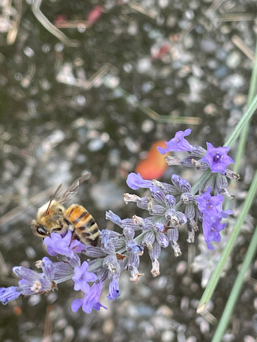
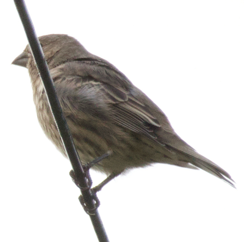
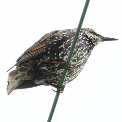
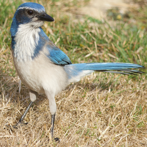
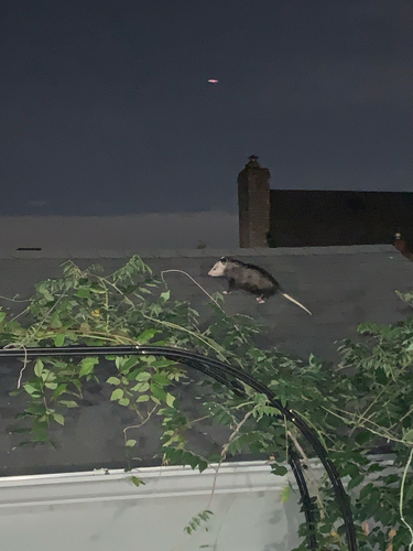
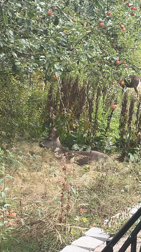
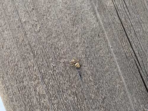
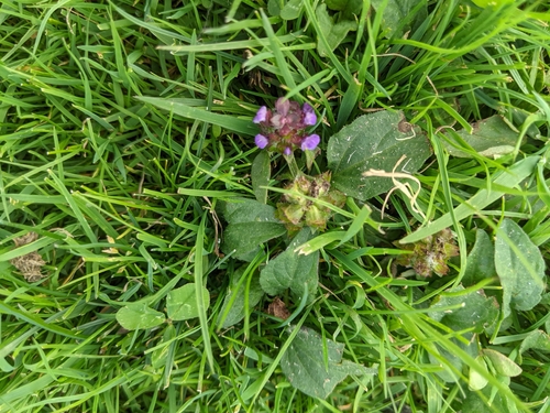
Research-grade observations from iNaturalist (within ~15 mi).
Nearest stream gauge
Events
Gallery
Sources
- • Wikipedia
- • US Census Bureau (ACS 5-year estimates)
- • NOAA National Weather Service
- • Wikidata
- • USGS Earthquake Catalog (global feed)
- • NCES via Urban Institute Education Data Portal
- • GBIF (Global Biodiversity Information Facility)
- • iNaturalist
- • CDC PLACES
- • Open-Meteo / sunrise-sunset.org
- • Wikipedia Pageviews API
- • NASA EONET