Browse / United States / Washington / Burlington
Burlington
Washingtoncity

Burlington
Total population
10,003
Median home value
$466,400
Bachelor's+
Median income
$80,475
Demographic figures from US Census Bureau · ACS 5-year estimates. Overview below cites Wikipedia and may reference a different year.
City facts
Facts from Wikidata (CC0).
Overview
Burlington is a city in Skagit County, Washington, United States. Its population was recorded as 9,152 in the 2020 census. Burlington is located approximately halfway between Seattle and Vancouver, Canada. The city is included in the Mount Vernon–Anacortes, Washington Metropolitan Statistical Area.
Read more on WikipediaHistory & geography
History
Burlington began as a logging camp, established by John P. Millett and William McKay, in 1882. It was officially incorporated on June 16, 1902. Originally, Burlington's businesses were centered on Fairhaven Avenue. Today, Fairhaven Avenue is the center of Burlington's old downtown, which has since been revitalized. In 2007, the city opened a new library and city hall. In December 2013, U.S. District Judge Robert Lasnik determined that Burlington had systematically violated its duty to offer effective legal representation to defendants who couldn't afford an attorney. The ruling required Burlington and Mount Vernon to hire a public defense supervisor to ensure their defense system complies with constitutional standards. On September 24, 2016, five people were shot and killed at Cascade Mall in Burlington.
Geography
According to the United States Census Bureau, the city has a total area of , of which is land and is water. The highest point in the city is Burlington Hill, which rises above sea level to the north of downtown. The city fire department placed a Christian cross atop the hill in the 1940s that would be lit for holidays; it was replaced by a permanently-lit and larger version in 1965 that was renovated in 2016. The Skagit River has a long history of flooding, which has affected Burlington as well as other communities in the Skagit Valley. A 1909 newspaper article describes how a dike broke upriver "and a mountain of water came rushing down the Skagit valley and quickly inundated [Burlington]". Burlington is protected by a system of dikes under the jurisdiction of Skagit County Dike District #12, which was originally incorporated in 1895.
Excerpted from the corresponding Wikipedia article (CC BY-SA).
Demographics & economy
Race & ethnicity
Source: US Census Bureau — American Community Survey, 5-year estimates.
Geography
Coordinates & boundaries from the US Census TIGER/Line shapefiles.
Climate
Current forecast
Forecast for Burlington, WA from NOAA NWS API.
Air quality
Industrial & pollution facilities
Natural hazard risk
Health (adults)
Age-adjusted prevalence estimates from CDC PLACES (latest release).
Walkability
Amenities nearby
Wildlife & biodiversity
Schools
Largest nearby schools
- Mount Vernon High SchoolHigh · Mount Vernon · 1,977 students · 19.4:1 ratio
- Sedro Woolley Senior High SchoolHigh · Sedro-Woolley · 1,276 students · 21.6:1 ratio
- Burlington Edison High SchoolHigh · BURLINGTON · 1,139 students · 19.3:1 ratio
- La Venture Middle SchoolMiddle · Mount Vernon · 726 students · 17.3:1 ratio
- Cascade Middle SchoolMiddle · Sedro-Woolley · 697 students · 21.1:1 ratio
- Mount Baker Middle SchoolMiddle · Mount Vernon · 628 students · 16.1:1 ratio
- Lucille Umbarger ElementaryElementary · BURLINGTON · 568 students · 13.5:1 ratio
- Evergreen Elementary SchoolElementary · Sedro-Woolley · 553 students · 15.8:1 ratio
Public K–12 schools within ~10 mi from Urban Institute Education Data Portal (NCES Common Core of Data, 2022).
Earthquake history
Photos
Sights & places nearby
Notable people from here
Nearby places in Washington
- Sedro-Woolley5.4 mi away
- Bay View6.3 mi away · pop. 572
- Northwest Stanwood14.1 mi away · pop. 72
- Whidbey Island Station17 mi away · pop. 2,027
- Lake Cavanaugh17.9 mi away
- Marietta-Alderwood24.5 mi away
- Sisco Heights26.1 mi away
- Concrete26.7 mi away
- Ferndale29.2 mi away
- Canyon Creek29.3 mi away
- Lake Cassidy29.9 mi away
- Granite Falls30.8 mi away
Geography & sun
Elevation, sunrise/sunset and daylight from Open-Meteo. Solar climatology from NASA POWER.
Nearby airports
Public attention
Pageview totals from the Wikimedia Pageviews API.
Books about Burlington
Search results from Open Library.
Recent natural events nearby
- Wildfire Electric, Whatcom, WashingtonWildfires · 2026-08-22 · 43 mi
- Wildfire Thunder Creek, Skagit, WashingtonWildfires · 2026-08-22 · 60 mi
- Wildfire SISI, Chelan, WashingtonWildfires · 2026-08-14 · 69 mi
- Wildfire KING, Kittitas, WashingtonWildfires · 2026-08-19 · 85 mi
- Wildfire GOAT, Kittitas, WashingtonWildfires · 2026-08-22 · 91 mi
- Wildfire Colwash, Yakima, WashingtonWildfires · 2026-08-22 · 187 mi
- Wildfire MITRE ROCK, Stevens, WashingtonWildfires · 2026-08-01 · 188 mi
- Wildfire HUDSPETH, Stevens, WashingtonWildfires · 2026-08-01 · 193 mi
Wildfires, storms and other events from NASA EONET (last 12 months, within 250 mi).
Ground air-quality sensors
Recently spotted species
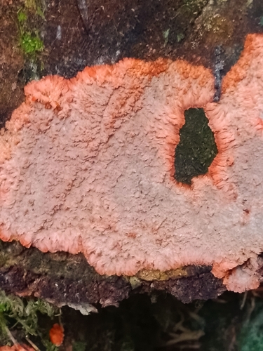
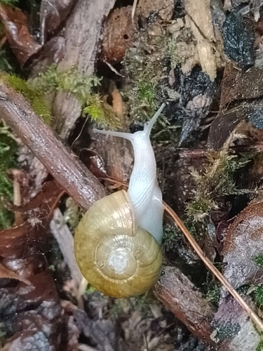
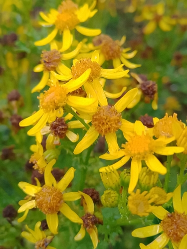
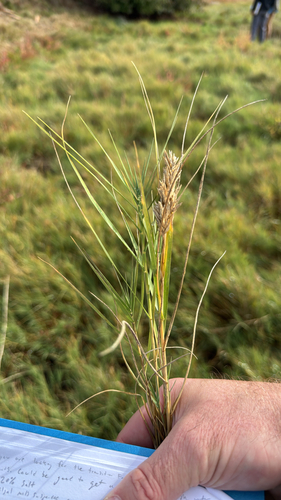
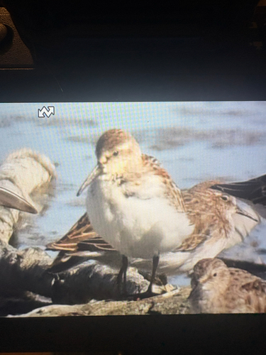
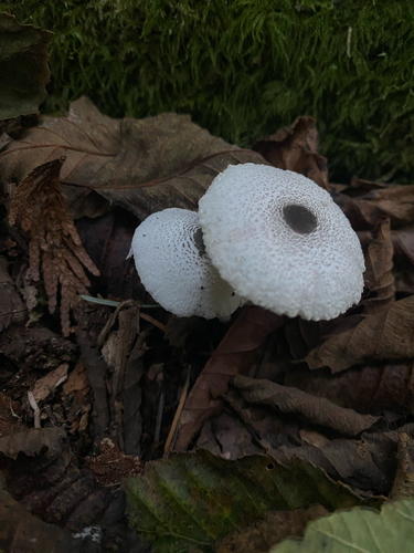
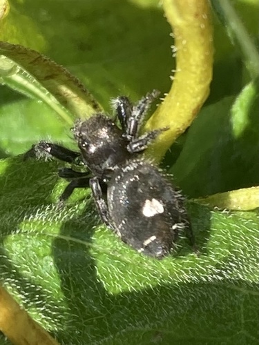
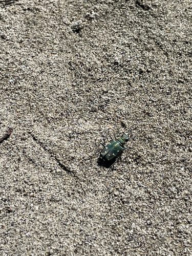
Research-grade observations from iNaturalist (within ~15 mi).
Nearest stream gauge
Live readings from USGS NWIS · measured 2026-09-25 18:45 UTC.
Events
Gallery
Sources
- • Wikipedia
- • US Census Bureau (ACS 5-year estimates)
- • NOAA National Weather Service
- • Wikidata
- • USGS NWIS (water data)
- • NCES via Urban Institute Education Data Portal
- • iNaturalist
- • CDC PLACES
- • Open-Meteo / sunrise-sunset.org
- • Wikipedia Pageviews API
- • Open Library
- • NASA EONET