Browse / United States / Washington / Chewelah
Chewelah
Washingtoncity

Chewelah
Total population
2,606
Founded
1873
Demographic figures from US Census Bureau · ACS 5-year estimates. Overview below cites Wikipedia and may reference a different year.
City facts
Facts from Wikidata (CC0).
Overview
Chewelah is a city in Stevens County, Washington, United States. It is located approximately 45 mi (72 km) northwest of Spokane. The population was 2,470 at the 2020 census.
Read more on WikipediaHistory & geography
History
The name of the town comes from a Kalispel word, , meaning 'watersnake' or 'gartersnake'. Prior to colonization by European-Americans, Chewelah was home to a band of the Kalispel people. The band was known as the slet̓éw̓si, meaning "valley people". Originally, the area was called Fool's Prairie, after the indigenous Kalispel who left his own tribe because of a dispute. Chewelah and the rest of the Colville River Valley were part of the Colville Indian Reservation from April 9, 1872, when the reservation was created, until July 2, 1872, when a subsequent executive order reduced the size of the reservation. The Chewelah Band of Indians is currently part of the Spokane Tribe. Thomas and Mary Brown moved to the Fool's Prairie in 1859. On May 8, 1872, Thomas Brown received authority to establish a post office called Chewelah. The name was first used in Stevens County Commissioner Journals on May 6, 1872. That post office disbanded on February 23, 1875. In 1879, the post office was reestablished with Major John Simms, Indian Agent, as postmaster. Chewelah was officially incorporated on January 26, 1903. Chewelah is a town of firsts in Stevens County. It had the first Protestant Congregational Church in 1891, the first school in 1869, the Spokane Falls and Northern Railway arrived in 1889, a Catholic church was established in 1885, and the first county newspaper was founded in July 1885. Initially, Chewelah was a pioneer settlement, being an agricultural center that can be traced back to the early 1870s and having prospectors working the adjacent countryside as early as 1842. The town was platted in 1884 and became known for being a rough and tumble mining town; the first lead and silver mines were established around 1886, and others followed in Embry and surrounding…
Geography
According to the United States Census Bureau, the city has a total area of , all land. This climatic region is typified by large seasonal temperature differences, with warm to hot (and often humid) summers and cold (sometimes severely cold) winters. According to the Köppen Climate Classification system, Chewelah has a humid continental climate, abbreviated "Dfb" on climate maps.
Excerpted from the corresponding Wikipedia article (CC BY-SA).
Demographics & economy
Geography
Coordinates & boundaries from the US Census TIGER/Line shapefiles.
Climate
Current forecast
Forecast for Chewelah, WA from NOAA NWS API.
Air quality
Industrial & pollution facilities
Natural hazard risk
Health (adults)
Walkability
Amenities nearby
Wildlife & biodiversity
Schools
Earthquake history
Photos
Sights & places nearby
Notable people from here


People born within ~10 km, from Wikidata (CC0). Click any name for their Wikipedia article.
Nearby places in Washington
Geography & sun
Elevation, sunrise/sunset and daylight from Open-Meteo. Solar climatology from NASA POWER.
Nearby airports
Public attention
Pageview totals from the Wikimedia Pageviews API.
Books about Chewelah

Search results from Open Library.
Recent natural events nearby
- Wildfire HUDSPETH, Stevens, WashingtonWildfires · 2026-08-01 · 24 mi
- Wildfire AUTUMN LANE, Spokane, WashingtonWildfires · 2026-08-01 · 34 mi
- Wildfire MITRE ROCK, Stevens, WashingtonWildfires · 2026-08-01 · 38 mi
- Wildfire FAIRVIEW, Spokane, WashingtonWildfires · 2026-08-01 · 40 mi
- Wildfire OLD TRAILS, Spokane, WashingtonWildfires · 2026-08-01 · 42 mi
- Wildfire Silver, Boundary, IdahoWildfires · 2026-08-23 · 54 mi
- Wildfire Parker Lake, Boundary, IdahoWildfires · 2026-08-23 · 64 mi
- Wildfire WELLS ROAD, Whitman, WashingtonWildfires · 2026-08-08 · 73 mi
Wildfires, storms and other events from NASA EONET (last 12 months, within 250 mi).
Ground air-quality sensors
Recently spotted species
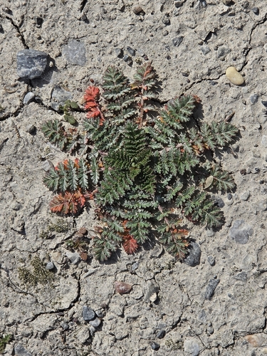
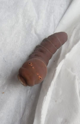
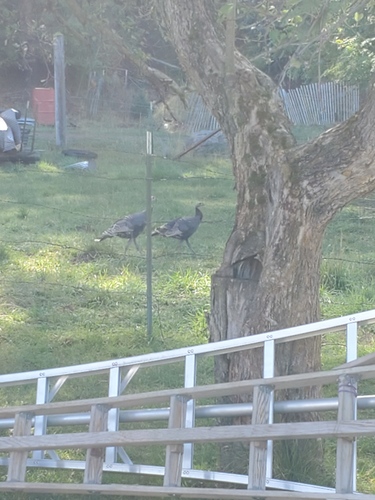
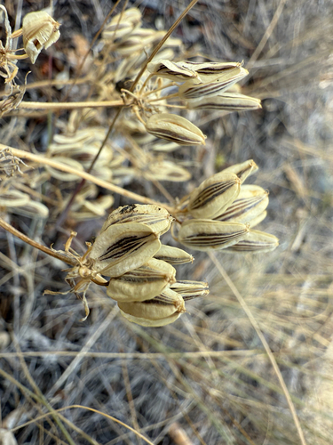
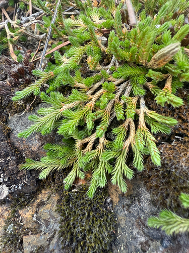
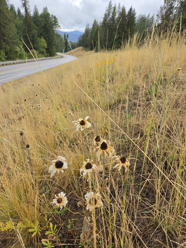
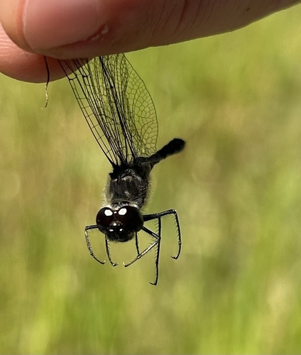
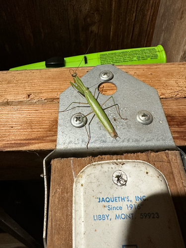
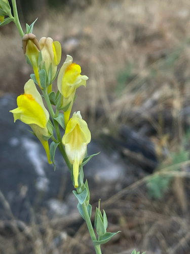
Research-grade observations from iNaturalist (within ~15 mi).
Nearest stream gauge
Events
Gallery
Sources
- • Wikipedia
- • NOAA National Weather Service
- • Wikidata
- • iNaturalist
- • Open-Meteo / sunrise-sunset.org
- • Wikipedia Pageviews API
- • Open Library
- • NASA EONET