Browse / United States / Washington / Ephrata
Ephrata
Washingtoncity

Ephrata
Total population
8,560
Median home value
$252,000
Bachelor's+
Median income
$69,551
Demographic figures from US Census Bureau · ACS 5-year estimates. Overview below cites Wikipedia and may reference a different year.
- Wind Advisory · ModerateWind Advisory issued September 24 at 10:11AM PDT until September 25 at 9:00PM PDT by NWS Spokane WA
Source: NOAA National Weather Service.
City facts
Overview
Ephrata is a city in and the county seat of Grant County, Washington, United States. Its population was 8,477 at the 2020 census, and was estimated to be 8,718 in 2024.
Read more on WikipediaHistory & geography
History
Ephrata was officially incorporated on June 21, 1909 and was given the county seat for the newly created Grant County. The settlement of Ephrata is quite recent. There was no known settlement until 1886, just three years before Washington gained statehood. The horse rancher Frank Beezley was the first to settle near the natural springs, thus the area was known as Beezley Springs. As the climate and topography were not promising to settlement, the entire region remained sparsely populated until several federal congressional actions, including the Northern Pacific Land Grant Act, the Homestead Act, and Desert Claims Act, encouraged the settlement of this semi-arid desert-like area. Originally, Douglas County spread over the entire territory of the Big Bend of the Columbia River. In 1909, the Washington State legislature divided it, creating Grant County. When the time came to present arguments to the state legislature regarding which town should be the county seat, someone apparently intentionally intoxicated the representative of a rival community, and Ephrata was chosen. It is generally believed that the city was named Ephrata by a man who worked for the Great Northern Railway. The name Ephrata is derived from a biblical description of an orchard in the middle of the desert. It is also the ancient name for the town of Bethlehem. The region was known at the turn of the century for the great herds of wild horses that roamed the land. Horse trading was an important element of the local economy, and Ephrata served as the staging area for the horse round-ups. The last "Grand Horse Round-up" was held in Ephrata in 1906. Ephrata then developed as a trade and service center for cattle and sheep ranches in the area until the construction of the Columbia Basin Reclamation…
Geography
According to the United States Census Bureau, the city has a total area of , all of it land. Ephrata has a semi-arid climate (Köppen BSk).
Excerpted from the corresponding Wikipedia article (CC BY-SA).
Demographics & economy
Race & ethnicity
Source: US Census Bureau — American Community Survey, 5-year estimates.
Geography
Coordinates & boundaries from the US Census TIGER/Line shapefiles.
Climate
Current forecast
Forecast for Ephrata, WA from NOAA NWS API.
Air quality
Industrial & pollution facilities
Natural hazard risk
Health (adults)
Walkability
Amenities nearby
Wildlife & biodiversity
Schools
Earthquake history
Photos
Sights & places nearby
Notable people from here
Nearby places in Washington
Geography & sun
Elevation, sunrise/sunset and daylight from Open-Meteo. Solar climatology from NASA POWER.
Nearby airports
Public attention
Pageview totals from the Wikimedia Pageviews API.
Books about Ephrata
Search results from Open Library.
Recent natural events nearby
- Wildfire MITRE ROCK, Stevens, WashingtonWildfires · 2026-08-01 · 70 mi
- Wildfire GOAT, Kittitas, WashingtonWildfires · 2026-08-22 · 72 mi
- Wildfire NUNAMAKER ROAD, Franklin, WashingtonWildfires · 2026-08-08 · 73 mi
- Wildfire KING, Kittitas, WashingtonWildfires · 2026-08-19 · 81 mi
- Wildfire HUDSPETH, Stevens, WashingtonWildfires · 2026-08-01 · 83 mi
- Wildfire Colwash, Yakima, WashingtonWildfires · 2026-08-22 · 85 mi
- Wildfire LITTLE GOOSE, Columbia, WashingtonWildfires · 2026-08-07 · 87 mi
- Wildfire SISI, Chelan, WashingtonWildfires · 2026-08-14 · 93 mi
Wildfires, storms and other events from NASA EONET (last 12 months, within 250 mi).
Ground air-quality sensors
Recently spotted species
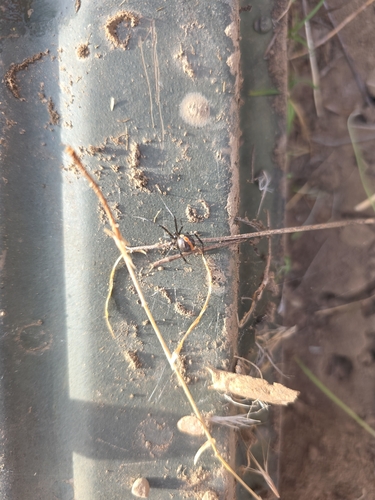
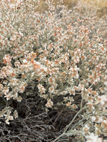
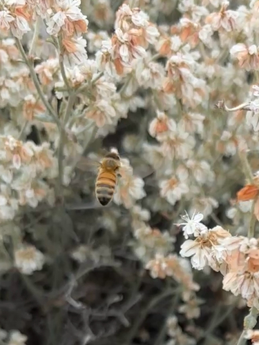
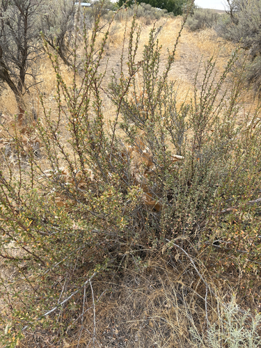
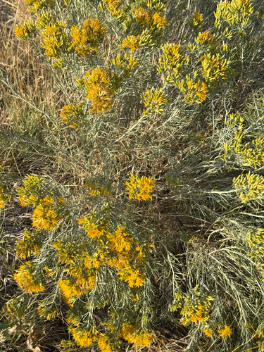
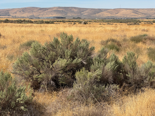
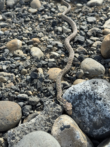
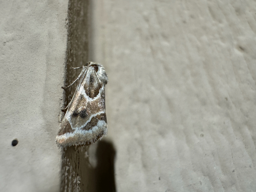
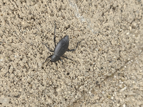
Research-grade observations from iNaturalist (within ~15 mi).
Nearest stream gauge
Events
Gallery
Sources
- • Wikipedia
- • US Census Bureau (ACS 5-year estimates)
- • NOAA National Weather Service
- • iNaturalist
- • Open-Meteo / sunrise-sunset.org
- • Wikipedia Pageviews API
- • Open Library
- • NASA EONET