Browse / United States / Washington / Fords Prairie
Fords Prairie
WashingtonCDP

Fords Prairie
Total population
1,823
Demographic figures from US Census Bureau · ACS 5-year estimates. Overview below cites Wikipedia and may reference a different year.
City facts
Facts from Wikidata (CC0).
Overview
Fords Prairie is an unincorporated community and census-designated place (CDP) in Lewis County, Washington, United States. The population was 2,234 at the 2020 census.
Read more on WikipediaHistory & geography
History
The area was originally called "Tasunshun", meaning "resting place", by the Upper Chehalis tribe, the Quiyaisk. The tribe kept a permanent village on the lands, often used during the winter. Dwellings were usually huts in a tipi-style construction of cedar planks. Fords Prairie was named after Judge Sidney S. Ford Sr. and his wife Nancy, who were among the earliest white pioneers who settled north of the Columbia River in 1846 in what was then a part of Oregon Territory. The Fords followed the wagon trail created by Michael T. Simmons, founder of what would become Tumwater and George Waunch, of Waunch Prairie. Receiving permission from the Quiyasik, their {{efn|The Ford family land donation claim varies in size based on the source, in some cases listed as . The log cabin home was two-stories, with an exterior stairwell to the top floor, and boasted a rock fireplace large enough to burn logs. Ford owned an indigenous slave, purchased for a pony that saved the person's life; Ford released the unnamed man from servitude two years later. Ford's relationship with local tribespeople were friendly and he was called "Sintah" or "Mr. Poots"; other family members were given Chehalis language monikers as well. During the Puget Sound War in 1855, over 200 residents moved to Fort Henness in Grand Mound for 16 months. A temporary school was started at the fort. The community was notified in late 2024 by the city of Centralia and several Lewis County departments that drinking water within Fords Prairie may be unsafe. Nitrate levels had been recorded as increasing in wells in 2023, leading to additional testing of private well water which confirmed a regional issue. No official announcement of contamination was issued but potential causes that were considered included seepage of…
Geography
Fords Prairie is often considered a neighborhood of Centralia, which borders the community to the south. Grand Mound, in Thurston County, borders Fords Prairie to the north. Interstate 5 forms the eastern edge of the CDP, with access from Exit 82 (Harrison Avenue) in Centralia. According to the United States Census Bureau, the Fords Prairie CDP has a total area of , of which are land and , or 3.27%, are water. The community sits on the east side of the Chehalis River, which flows northwest to the Pacific Ocean at Grays Harbor.
Excerpted from the corresponding Wikipedia article (CC BY-SA).
Demographics & economy
Geography
Coordinates & boundaries from the US Census TIGER/Line shapefiles.
Climate
Current forecast
Forecast for Fords Prairie, WA from NOAA NWS API.
Air quality
Industrial & pollution facilities
Natural hazard risk
Health (adults)
Age-adjusted prevalence estimates from CDC PLACES (latest release).
Walkability
Amenities nearby
Wildlife & biodiversity
Most-observed species
- American RobinTurdus migratorius Linnaeus, 1766 · Aves3,474
- Song SparrowMelospiza melodia (A.Wilson, 1810) · Aves3,301
- European StarlingSturnus vulgaris Linnaeus, 1758 · Aves2,673
- California/Woodhouse's Scrub-JayAphelocoma californica (Vigors, 1839) · Aves2,589
- Spotted TowheePipilo maculatus Swainson, 1827 · Aves2,442
- Black-capped ChickadeePoecile atricapillus (Linnaeus, 1766) · Aves2,353
- American CrowCorvus brachyrhynchos C.L.Brehm, 1822 · Aves2,327
- Dark-eyed JuncoJunco hyemalis (Linnaeus, 1758) · Aves2,283
Citizen-science & research observations from the Global Biodiversity Information Facility (GBIF).
Schools
Earthquake history
Most recent
- M 2.61 — 2026-07-3118 km NE of Amboy, Washington
- M 2.84 — 2026-05-274 km W of Wauna, Washington
- M 2.52 — 2026-03-177 km SE of Mineral, Washington
- M 2.86 — 2026-03-112 km W of Home, Washington
- M 2.6 — 2026-01-251 km ENE of Enetai, Washington
- M 2.82 — 2025-12-255 km W of Gorst, Washington
Events from the USGS Earthquake Catalog (global) (FDSN Event Web Service).
Photos
Sights & places nearby
Notable people from here


People born within ~10 km, from Wikidata (CC0). Click any name for their Wikipedia article.
Nearby places in Washington
Geography & sun
Elevation, sunrise/sunset and daylight from Open-Meteo. Solar climatology from NASA POWER.
Nearby airports
Public attention
Pageview totals from the Wikimedia Pageviews API.
Books about Fords Prairie





Search results from Open Library.
Recent natural events nearby
- Wildfire HIGH LAVA, Skamania, WashingtonWildfires · 2026-07-23 · 73 mi
- Wildfire KING, Kittitas, WashingtonWildfires · 2026-08-19 · 96 mi
- Wildfire GOAT, Kittitas, WashingtonWildfires · 2026-08-22 · 104 mi
- Wildfire RANSIER, Yakima, WashingtonWildfires · 2026-07-26 · 111 mi
- Wildfire Signal Peak, Yakima, WashingtonWildfires · 2026-07-24 · 111 mi
- Wildfire 8 MILE, Wasco, OregonWildfires · 2026-07-24 · 122 mi
- Wildfire GRASSHOPPER, Wasco, OregonWildfires · 2026-07-23 · 126 mi
- Wildfire Austin Non-Stat, Clackamas, OregonWildfires · 2026-08-12 · 129 mi
Wildfires, storms and other events from NASA EONET (last 12 months, within 250 mi).
Ground air-quality sensors
Recently spotted species
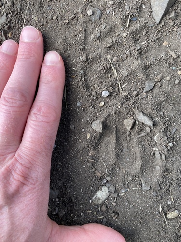
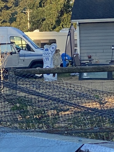
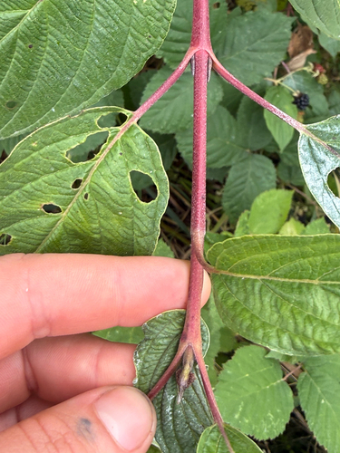
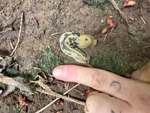
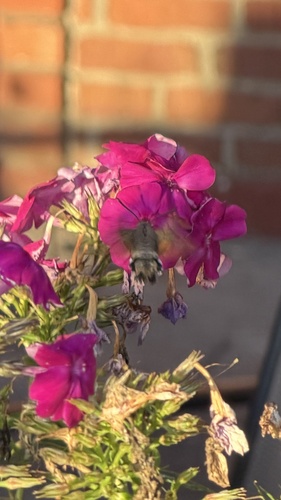
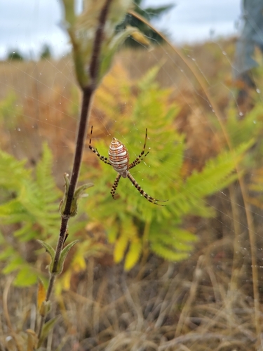
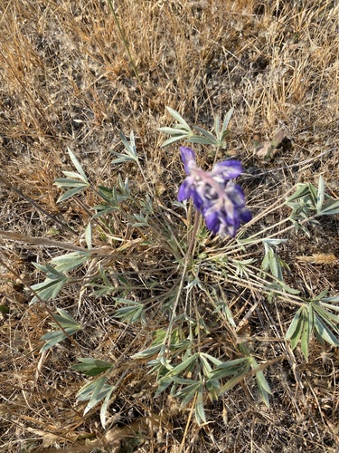
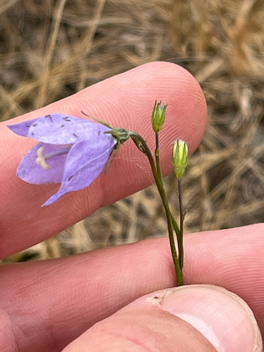
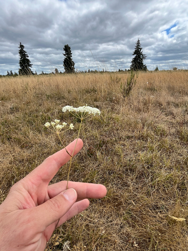
Research-grade observations from iNaturalist (within ~15 mi).
Nearest stream gauge
Events
Gallery
Sources
- • Wikipedia
- • NOAA National Weather Service
- • Wikidata
- • USGS Earthquake Catalog (global feed)
- • GBIF (Global Biodiversity Information Facility)
- • iNaturalist
- • CDC PLACES
- • Open-Meteo / sunrise-sunset.org
- • Wikipedia Pageviews API
- • Open Library
- • NASA EONET