Browse / United States / Washington / Freeland
Freeland
WashingtonCDP

Freeland
Total population
1,548
Median home value
$522,000
Bachelor's+
Median income
$83,241
Demographic figures from US Census Bureau · ACS 5-year estimates. Overview below cites Wikipedia and may reference a different year.
City facts
Facts from Wikidata (CC0).
Overview
Freeland is an unincorporated community and census-designated place (CDP) on Whidbey Island in Island County, Washington, United States. At the time of the 2020 census the population was 2,252. The town received its name based on its origins as a socialist commune in the early 1900s: in the eyes of its founders, the land of the town was literally to be free for all people. Some of the first settlers were veterans of a prior experiment in socialism, the nearby Equality Colony.
Read more on WikipediaHistory & geography
History
Some Equality Colony dissidents, led by George Washington Daniels, incorporated the Free Land Association in 1900 and established the colony on land they purchased through James P. Gleason of the Fidelity Trust company. Members purchased dividend-paying shares in the association store fund and the machinery fund. The association store operated according to Rochdale Principles, and shares in the store were sold to non-residents as well as association members. Because members could pay for their land with dividends from their shares, the founders considered the land to be "free". By 1902, however, the colony announced that new settlers would have to purchase land outright, as the idealistic land-financing plan based on share dividends had not worked. Daniels platted five-acre tracts with wide streets to form the original townsite. Additional plats were added over the next several years. Freeland considered itself a cooperative profit-sharing association and rejected the rigid communal structure of other colonies on the island. They described themselves to the Whidby Islander as "simply a settlement of socialists co-operating on semi-capitalistic principles." During its early years, Freeland had no local school, sending its children three miles across the island to Useless Bay. The lack of roads contributed to the isolation of the colony, although Daniels' son-in-law, John H. Prather, purchased several boats to provide freight and passenger service between Freeland and Everett, the nearest town on the mainland.
Geography
Freeland is located on the southern part of Whidbey Island. The community sits on a mile-wide isthmus between the south end of Holmes Harbor, a inlet of Saratoga Passage, and Mutiny Bay on Admiralty Inlet. It is located on the 48th parallel north. Washington State Route 525 passes through Freeland, leading east to Clinton and northwest to SR 20 at Keystone. Oak Harbor is north of Freeland via SR 525 and SR 20. According to the United States Census Bureau, the Freeland CDP has a total area of , all of it land.
Excerpted from the corresponding Wikipedia article (CC BY-SA).
Demographics & economy
Race & ethnicity
Source: US Census Bureau — American Community Survey, 5-year estimates.
Geography
Coordinates & boundaries from the US Census TIGER/Line shapefiles.
Climate
Air quality
Industrial & pollution facilities
Natural hazard risk
Health (adults)
Walkability
Amenities nearby
Wildlife & biodiversity
Most-observed species
- Song SparrowMelospiza melodia (A.Wilson, 1810) · Aves27,104
- American CrowCorvus brachyrhynchos C.L.Brehm, 1822 · Aves24,787
- American RobinTurdus migratorius Linnaeus, 1766 · Aves24,262
- Spotted TowheePipilo maculatus Swainson, 1827 · Aves23,183
- Dark-eyed JuncoJunco hyemalis (Linnaeus, 1758) · Aves21,219
- Bald EagleHaliaeetus leucocephalus (Linnaeus, 1766) · Aves16,882
- Northern FlickerColaptes auratus (Linnaeus, 1758) · Aves16,712
- Anna's HummingbirdCalypte anna (R.Lesson, 1829) · Aves16,380
Citizen-science & research observations from the Global Biodiversity Information Facility (GBIF).
Schools
Earthquake history
Most recent
- M 2.51 — 2026-08-0911 km SSW of River Road, Washington
- M 3.8 — 2026-07-022 km E of Oak Harbor, Washington
- M 2.5 — 2026-06-2611 km E of Carnation, Washington
- M 2.87 — 2026-06-082 km ESE of Oak Harbor, Washington
- M 2.56 — 2026-05-297 km ENE of Ferndale, Washington
- M 2.84 — 2026-05-274 km W of Wauna, Washington
Events from the USGS Earthquake Catalog (global) (FDSN Event Web Service).
Photos
Sights & places nearby
Notable people from here
Nearby places in Washington
Geography & sun
Elevation, sunrise/sunset and daylight from Open-Meteo. Solar climatology from NASA POWER.
Nearby airports
Public attention
Pageview totals from the Wikimedia Pageviews API.
Books about Freeland
Search results from Open Library.
Recent natural events nearby
- Wildfire KING, Kittitas, WashingtonWildfires · 2026-08-19 · 71 mi
- Wildfire SISI, Chelan, WashingtonWildfires · 2026-08-14 · 82 mi
- Wildfire Border 2, Whatcom, WashingtonWildfires · 2026-07-16 · 97 mi
- Wildfire PTARMIGAN, Okanogan, WashingtonWildfires · 2026-07-17 · 109 mi
- Wildfire PEARL HILL, Douglas, WashingtonWildfires · 2026-07-25 · 136 mi
- Wildfire SINLAHEKIN, Okanogan, WashingtonWildfires · 2026-07-26 · 139 mi
- Wildfire RANSIER, Yakima, WashingtonWildfires · 2026-07-26 · 143 mi
- Wildfire Signal Peak, Yakima, WashingtonWildfires · 2026-07-24 · 143 mi
Wildfires, storms and other events from NASA EONET (last 12 months, within 250 mi).
Ground air-quality sensors
Recently spotted species
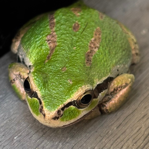
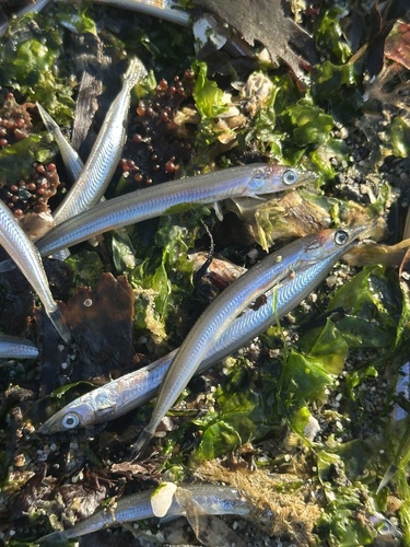
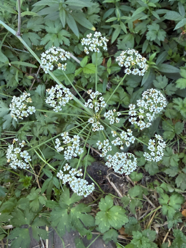
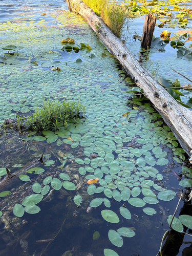
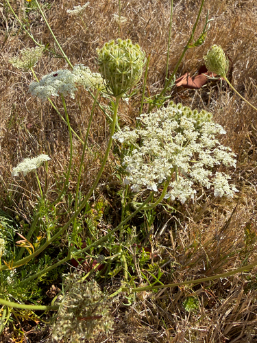
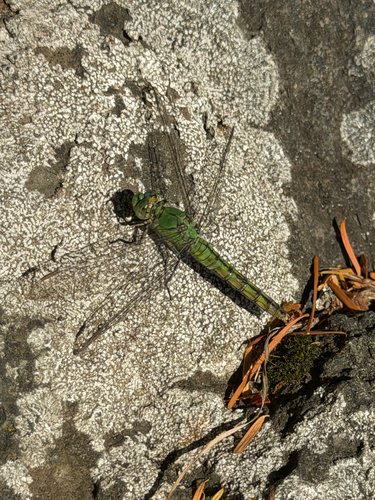
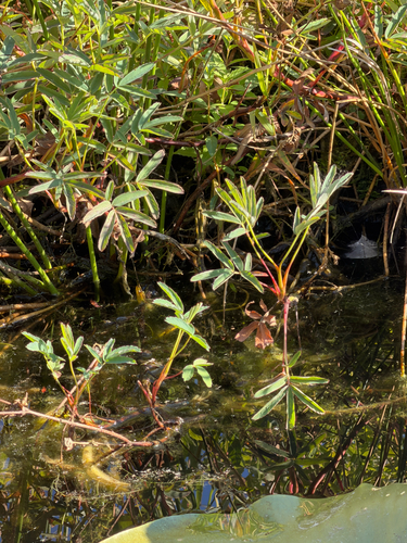
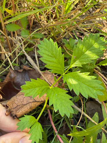
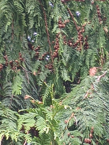
Research-grade observations from iNaturalist (within ~15 mi).
Nearest stream gauge
Events
Gallery
Sources
- • Wikipedia
- • US Census Bureau (ACS 5-year estimates)
- • Wikidata
- • USGS Earthquake Catalog (global feed)
- • GBIF (Global Biodiversity Information Facility)
- • iNaturalist
- • Open-Meteo / sunrise-sunset.org
- • Wikipedia Pageviews API
- • Open Library
- • NASA EONET