Browse / United States / Washington / Port Ludlow
Port Ludlow
WashingtonCDP

Port Ludlow
Total population
2,891
Demographic figures from US Census Bureau · ACS 5-year estimates. Overview below cites Wikipedia and may reference a different year.
City facts
Facts from Wikidata (CC0).
Overview
Port Ludlow is an unincorporated community and census-designated place (CDP) in Jefferson County, Washington, United States. It is also the name of the marine inlet on which the community is located. As of the 2020 census, Port Ludlow had a population of 2,959.
Read more on WikipediaHistory & geography
History
The United States Exploring Expedition, under Charles Wilkes, entered Puget Sound in 1841. Wilkes bestowed many patriotically American place names; at the time the sovereignty of the Oregon Country was yet to be resolved between Britain and the United States. Many of Wilkes's names commemorated American heroes and victories during the War of 1812. Port Ludlow was one of these, honoring Augustus Ludlow, a War of 1812 American naval hero. Early explorers of the Pacific Northwest often named sheltered inlets with names beginning with "Port". Communities that subsequently developed often adopted their inlet's name. Today Port Ludlow is both the name of the inlet and the community on its shore. To avoid confusion the inlet is sometimes called Port Ludlow Bay. The first shipments of timber from the Puget Sound to San Francisco in 1851 stimulated interest in the business potential of building sawmills on Puget Sound. John R. Thorndike and W. P. Sayward sailed to Puget Sound in 1852 and found the environs of Port Ludlow promising. Thorndike filed a timber claim of , and they started building a mill there. The initial mill housed two sash saws capable of producing of lumber daily. The trees along the banks of the bay were logged first, and then oxen and horses were used to bring more distant logs to the mill. The mill was leased in 1858 to the Amos & Phinney Company, of which A. Phinney became the resident manager. The U.S. Federal Census of 1860 designated Port Ludlow as one of the three enumeration districts in Jefferson County, Washington Territory. The census tally portrays the make-up of a young logging and sawmill community: Of the 124 people counted, 117 (94%) were adults between the ages of 20 and 50, and the remaining 7 were children. Of the adult population 112…
Geography
Port Ludlow, the community, is located on the eastern edge of Jefferson County on the northwest side of Port Ludlow, the waterbody. The original settlement of Port Ludlow is in the northern part of the CDP, with new development reaching south of the Port Ludlow inlet. The CDP also includes the communities of Mats Mats (to the north), Swansonville (to the northwest), and Beaver Valley (on the western edge). Washington State Route 19 forms the western edge of the CDP, leading north to Port Hadlock and having its southern terminus at Washington State Route 104 at the southwest corner of the Port Ludlow CDP. SR 104 forms the southern edge of the CDP and leads east across Hood Canal to Port Gamble and west the same distance to U.S. Route 101. According to the United States Census Bureau, the Port Ludlow CDP has a total area of , of which , or 18.28%, are water.
Excerpted from the corresponding Wikipedia article (CC BY-SA).
Demographics & economy
Geography
Coordinates & boundaries from the US Census TIGER/Line shapefiles.
Climate
10-year averages from ERA5 reanalysis (Open-Meteo).
Current forecast
Forecast for Port Ludlow, WA from NOAA NWS API.
Air quality
Industrial & pollution facilities
Natural hazard risk
Health (adults)
Age-adjusted prevalence estimates from CDC PLACES (latest release).
Walkability
Amenities nearby
Wildlife & biodiversity
Most-observed species
- Song SparrowMelospiza melodia (A.Wilson, 1810) · Aves27,472
- Spotted TowheePipilo maculatus Swainson, 1827 · Aves24,457
- American RobinTurdus migratorius Linnaeus, 1766 · Aves23,581
- Dark-eyed JuncoJunco hyemalis (Linnaeus, 1758) · Aves22,036
- American CrowCorvus brachyrhynchos C.L.Brehm, 1822 · Aves19,554
- Anna's HummingbirdCalypte anna (R.Lesson, 1829) · Aves19,495
- House FinchHaemorhous mexicanus (P.L.Statius Müller, 1776) · Aves17,276
- White-crowned SparrowZonotrichia leucophrys (J.R.Forster, 1772) · Aves16,659
Citizen-science & research observations from the Global Biodiversity Information Facility (GBIF).
Schools
Earthquake history
Most recent
- M 2.51 — 2026-08-0911 km SSW of River Road, Washington
- M 3.8 — 2026-07-022 km E of Oak Harbor, Washington
- M 2.5 — 2026-06-2611 km E of Carnation, Washington
- M 2.87 — 2026-06-082 km ESE of Oak Harbor, Washington
- M 2.84 — 2026-05-274 km W of Wauna, Washington
- M 2.54 — 2026-05-074 km WSW of Concrete, Washington
Events from the USGS Earthquake Catalog (global) (FDSN Event Web Service).
Photos
Sights & places nearby
Notable people from here
People born within ~10 km, from Wikidata (CC0). Click any name for their Wikipedia article.
Nearby places in Washington
Geography & sun
Elevation, sunrise/sunset and daylight from Open-Meteo. Solar climatology from NASA POWER.
Nearby airports
Public attention
Pageview totals from the Wikimedia Pageviews API.
Books about Port Ludlow
Search results from Open Library.
Recent natural events nearby
- Wildfire KING, Kittitas, WashingtonWildfires · 2026-08-19 · 74 mi
- Wildfire Electric, Whatcom, WashingtonWildfires · 2026-08-22 · 77 mi
- Wildfire SISI, Chelan, WashingtonWildfires · 2026-08-14 · 91 mi
- Wildfire RANSIER, Yakima, WashingtonWildfires · 2026-07-26 · 141 mi
- Wildfire Signal Peak, Yakima, WashingtonWildfires · 2026-07-24 · 141 mi
- Wildfire PEARL HILL, Douglas, WashingtonWildfires · 2026-07-25 · 143 mi
- Wildfire HIGH LAVA, Skamania, WashingtonWildfires · 2026-07-23 · 143 mi
- Wildfire SINLAHEKIN, Okanogan, WashingtonWildfires · 2026-07-26 · 148 mi
Wildfires, storms and other events from NASA EONET (last 12 months, within 250 mi).
Ground air-quality sensors
Recently spotted species
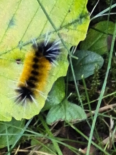
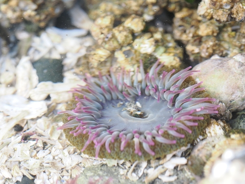
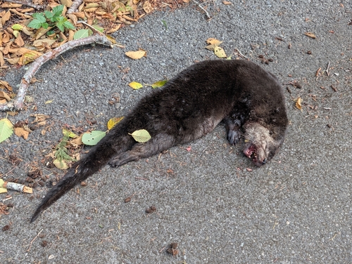
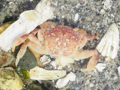
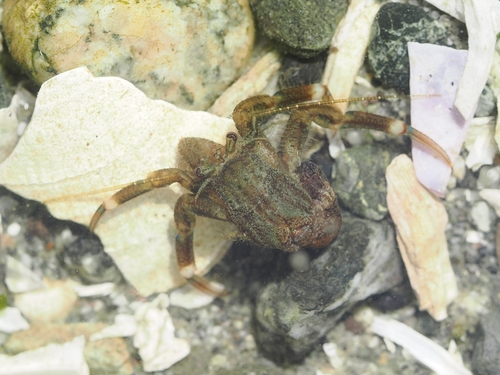
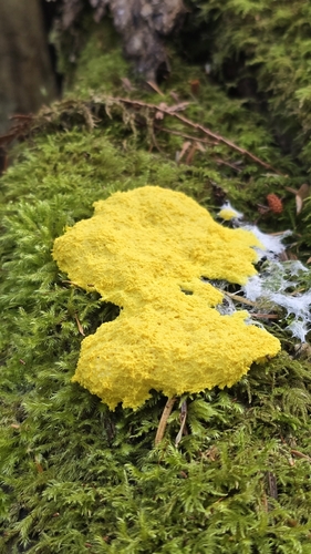
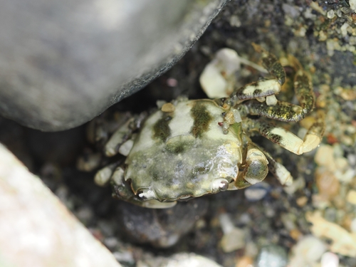
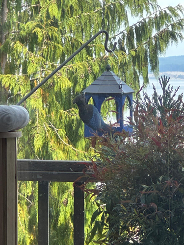
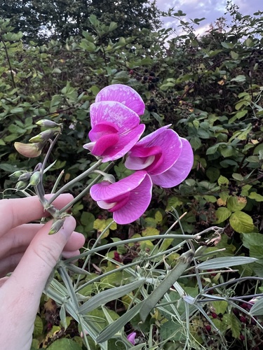
Research-grade observations from iNaturalist (within ~15 mi).
Nearest stream gauge
Live readings from USGS NWIS · measured 2026-08-31 09:30 UTC.
Events
Gallery
Sources
- • Wikipedia
- • Open-Meteo (ERA5 reanalysis)
- • NOAA National Weather Service
- • Wikidata
- • USGS Earthquake Catalog (global feed)
- • USGS NWIS (water data)
- • GBIF (Global Biodiversity Information Facility)
- • iNaturalist
- • CDC PLACES
- • Open-Meteo / sunrise-sunset.org
- • Wikipedia Pageviews API
- • Open Library
- • NASA EONET