Browse / United States / Washington / Poulsbo
Poulsbo
Washingtoncity

Poulsbo
Total population
12,165
Median home value
$620,100
Bachelor's+
Median income
$116,250
Founded
1907
Air quality index
Demographic figures from US Census Bureau · ACS 5-year estimates. Overview below cites Wikipedia and may reference a different year.
City facts
Facts from Wikidata (CC0).
Overview
Poulsbo is a city on Liberty Bay in Kitsap County, Washington, United States. It is the smallest of the four cities in Kitsap County. The population was 11,970 at the 2020 census and an estimated 10,927 in 2018.
Read more on WikipediaHistory & geography
History
The Suquamish people have inhabited Liberty Bay for millennia, hunting in local forests and floodplains, fishing in bays and streams, and harvesting shellfish along the shoreline. The site upon which the modern city is built is called , meaning "maple trees". The Suquamish had a winter village nearby, at the head of Liberty Bay, anglicized variously as "Ho-Cheeb" and "Xoyacid," which consisted of two large houses and four smaller houses. It existed until the late 1800s when settlers began populating the area. After the signing of the Treaty of Point Elliott in 1855, most of the Suquamish people living in the area were relocated to the Port Madison Indian Reservation. Founded by Norwegian immigrant Jørgen Eliason in the 1880s, Poulsbo was settled in its early years by a large number of Norwegian and other Scandinavian immigrants because of its similarities to their native countries. In 1886, Iver Brynildsen Moe, one of the early Norwegian settlers, suggested that the community should have a post office. Moe suggested the town be named "Paulsbo", his hometown in Halden, Norway. The community's petition for a post office was granted and Moe became the first postmaster, but authorities in Washington, D.C. misspelled the town's name, likely misreading Moe's handwriting, and the community became known as "Poulsbo" thereafter. Poulsbo was incorporated on December 18, 1907. On September 15, 1914, after a dry summer with multiple previous brush fires, a large portion of the downtown business district was destroyed in a fire. Eight business buildings, an estimated third of the business section, were destroyed, with another damaged. The cause of the fire was never determined. Businessowners who lost their buildings continued business in undamaged buildings while downtown was…
Geography
Poulsbo is located in northern Kitsap County at the north end of Liberty Bay, a sheltered arm of Puget Sound. Washington State Route 305 has its northwestern terminus in the northern part of the town at State Route 3 and leads southeast to the ferry docks at Bainbridge Island. SR 3 leads north to Port Gamble and south to the western part of Bremerton. According to the United States Census Bureau, Poulsbo has a total area of , of which are land and , or 11.43%, are water.
Excerpted from the corresponding Wikipedia article (CC BY-SA).
Demographics & economy
Race & ethnicity
Source: US Census Bureau — American Community Survey, 5-year estimates.
Geography
Coordinates & boundaries from the US Census TIGER/Line shapefiles.
Climate
Current forecast
Forecast for Poulsbo, WA from NOAA NWS API.
Air quality
Current readings from Open-Meteo Air Quality API (Copernicus CAMS European reanalysis).
Industrial & pollution facilities
Natural hazard risk
Health (adults)
Age-adjusted prevalence estimates from CDC PLACES (latest release).
Walkability
Amenities nearby
Wildlife & biodiversity
Schools
Earthquake history
Most recent
- M 2.51 — 2026-08-0911 km SSW of River Road, Washington
- M 3.8 — 2026-07-022 km E of Oak Harbor, Washington
- M 2.5 — 2026-06-2611 km E of Carnation, Washington
- M 2.87 — 2026-06-082 km ESE of Oak Harbor, Washington
- M 2.84 — 2026-05-274 km W of Wauna, Washington
- M 2.7 — 2026-04-275 km N of Anacortes, Washington
Events from the USGS Earthquake Catalog (global) (FDSN Event Web Service).
Photos
Sights & places nearby
Notable people from here


People born within ~10 km, from Wikidata (CC0). Click any name for their Wikipedia article.
Nearby places in Washington
Geography & sun
Elevation, sunrise/sunset and daylight from Open-Meteo. Solar climatology from NASA POWER.
Nearby airports
Public attention
Pageview totals from the Wikimedia Pageviews API.
Books about Poulsbo
Search results from Open Library.
Recent natural events nearby
- Wildfire KING, Kittitas, WashingtonWildfires · 2026-08-19 · 67 mi
- Wildfire GOAT, Kittitas, WashingtonWildfires · 2026-08-22 · 77 mi
- Wildfire Electric, Whatcom, WashingtonWildfires · 2026-08-22 · 84 mi
- Wildfire Thunder Creek, Skagit, WashingtonWildfires · 2026-08-22 · 93 mi
- Wildfire SISI, Chelan, WashingtonWildfires · 2026-08-14 · 94 mi
- Wildfire RANSIER, Yakima, WashingtonWildfires · 2026-07-26 · 130 mi
- Wildfire Signal Peak, Yakima, WashingtonWildfires · 2026-07-24 · 131 mi
- Wildfire HIGH LAVA, Skamania, WashingtonWildfires · 2026-07-23 · 131 mi
Wildfires, storms and other events from NASA EONET (last 12 months, within 250 mi).
Ground air-quality sensors
Recently spotted species
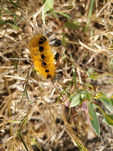
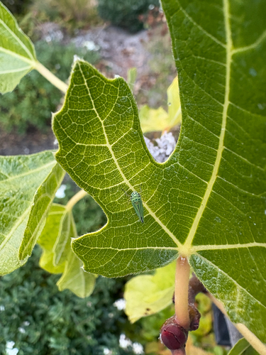
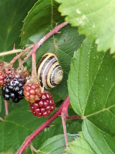
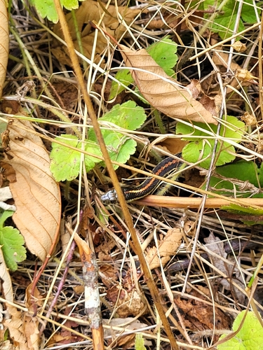
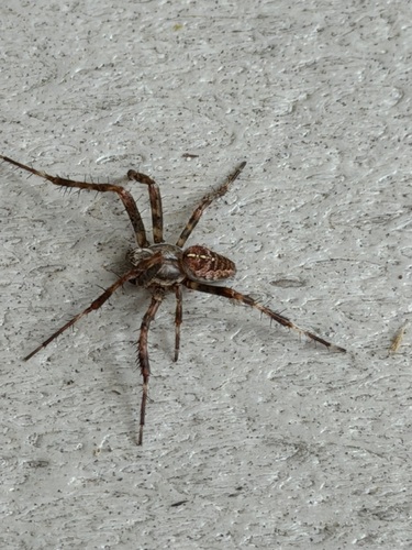
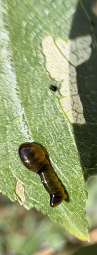
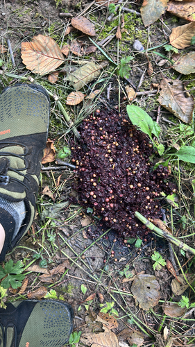
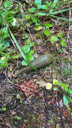
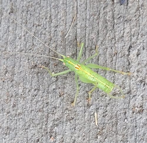
Research-grade observations from iNaturalist (within ~15 mi).
Nearest stream gauge
Events
Gallery
Sources
- • Wikipedia
- • US Census Bureau (ACS 5-year estimates)
- • NOAA National Weather Service
- • Wikidata
- • Open-Meteo Air Quality (CAMS)
- • USGS Earthquake Catalog (global feed)
- • iNaturalist
- • CDC PLACES
- • Open-Meteo / sunrise-sunset.org
- • Wikipedia Pageviews API
- • Open Library
- • NASA EONET