Browse / United States / Washington / Indianola
Indianola
WashingtonCDP

Indianola
Total population
3,468
Median home value
$503,800
Bachelor's+
Median income
$98,684
Demographic figures from US Census Bureau · ACS 5-year estimates. Overview below cites Wikipedia and may reference a different year.
City facts
Facts from Wikidata (CC0).
Overview
Indianola is a census-designated place (CDP) in Kitsap County, Washington, United States, located on the north shore of Port Madison on the Port Madison Indian Reservation, home of the Suquamish Indian Tribe. The population was 3,664 at the 2020 census. It was originally established as a summer community and was a stop for Mosquito Fleet ferries until the 1950s.
Read more on WikipediaHistory & geography
History
Indianola was formed on the portion of the Port Madison Indian Reservation which had been allotted to KaKue aka "Beedee" in 1886. KaKue died in December 1886 leaving no will, and his wife Tu Tue Tue was sole heir. Tu Tue Tue died four years later in 1890 leaving a brother and a sister, Tar-de-blu, and a daughter Katie. After the death of Tar-de-blu the estate was settled in 1909 leaving Chief Jacob, the son of Tar-de-blu, as sole heir. When Katie died childless in 1896 her husband Alpheus Loughrey was sole heir. Alpheus had four sons from a previous marriage and the allotment eventually passed to his sons. Alpheus was a white man who had married Katie, the daughter of KaKue and Tu-Tue-Tue. KaKue was not related to Cyrus Beede Pickrell who was an Indian agent in Suquamish from 1906 to 1916 or to Cyrus Beede who was at the time the US Indian Inspector. In 1906, the U.S. Army bought a portion of the nearby town of Suquamish from the Suquamish Tribe for the stated purpose of constructing a fort. Instead, the land was sold to non-native developers. Many Suquamish members of the town moved to Indianola. During this period, Suquamish children were forced to attend American Indian residential schools run by the U.S. government, which sought to erase Suquamish culture. The U.S. government also used the 1887 Dawes Act to take reservation land from the Suquamish who lived on it, which included land in Indianola. Chief William Rogers, of the Suquamish and Duwamish, moved to Indianola in 1902 after white settlers repeatedly burned down the Duwamish longhouses he had lived in near current-day Renton. His land in Indianola was taken in 1910, and he moved with his family to another part of the Port Madison Reservation. Kitsap County laws also affected the town's land ownership: at…
Geography
Indianola is located on the north shore of Port Madison, just east of Miller Bay. It is south of Kingston and northeast of Suquamish. According to the United States Census Bureau, the CDP has a total area of 5.3 square miles (13.8 km2), of which, 4.8 square miles (12.6 km2) of it is land and 0.5 square miles (1.2 km2) of it (8.82%) is water.
Excerpted from the corresponding Wikipedia article (CC BY-SA).
Demographics & economy
Race & ethnicity
Source: US Census Bureau — American Community Survey, 5-year estimates.
Geography
Coordinates & boundaries from the US Census TIGER/Line shapefiles.
Climate
Current forecast
Forecast for Indianola, WA from NOAA NWS API.
Air quality
Industrial & pollution facilities
Natural hazard risk
Health (adults)
Age-adjusted prevalence estimates from CDC PLACES (latest release).
Walkability
Amenities nearby
Wildlife & biodiversity
Most-observed species
- American CrowCorvus brachyrhynchos C.L.Brehm, 1822 · Aves144,271
- Black-capped ChickadeePoecile atricapillus (Linnaeus, 1766) · Aves112,504
- Dark-eyed JuncoJunco hyemalis (Linnaeus, 1758) · Aves112,020
- Song SparrowMelospiza melodia (A.Wilson, 1810) · Aves109,431
- American RobinTurdus migratorius Linnaeus, 1766 · Aves98,851
- Anna's HummingbirdCalypte anna (R.Lesson, 1829) · Aves92,353
- Spotted TowheePipilo maculatus Swainson, 1827 · Aves83,208
- House FinchHaemorhous mexicanus (P.L.Statius Müller, 1776) · Aves78,413
Citizen-science & research observations from the Global Biodiversity Information Facility (GBIF).
Schools
Largest nearby schools
- Bainbridge High SchoolHigh · Bainbridge Island · 1,232 students · 20.5:1 ratio
- North Kitsap High SchoolHigh · Poulsbo · 1,063 students · 22.6:1 ratio
- Ridgetop Middle SchoolMiddle · SILVERDALE · 744 students · 21.9:1 ratio
- Poulsbo Middle SchoolMiddle · Poulsbo · 685 students · 20.8:1 ratio
- Kingston High SchoolHigh · Kingston · 610 students · 20.3:1 ratio
- Vinland ElementaryElementary · Poulsbo · 523 students · 16.3:1 ratio
- Kingston Middle SchoolMiddle · Kingston · 491 students · 18.9:1 ratio
- Woodward Middle SchoolMiddle · Bainbridge Island · 488 students · 20.3:1 ratio
Public K–12 schools within ~10 mi from Urban Institute Education Data Portal (NCES Common Core of Data, 2022).
Earthquake history
Most recent
- M 2.51 — 2026-08-0911 km SSW of River Road, Washington
- M 3.8 — 2026-07-022 km E of Oak Harbor, Washington
- M 2.5 — 2026-06-2611 km E of Carnation, Washington
- M 2.87 — 2026-06-082 km ESE of Oak Harbor, Washington
- M 2.84 — 2026-05-274 km W of Wauna, Washington
- M 2.7 — 2026-04-275 km N of Anacortes, Washington
Events from the USGS Earthquake Catalog (global) (FDSN Event Web Service).
Photos
Sights & places nearby
Notable people from here

People born within ~10 km, from Wikidata (CC0). Click any name for their Wikipedia article.
Nearby places in Washington
- Port Gamble Tribal Community6.6 mi away
- Bainbridge Island7.8 mi away · pop. 24,825
- Esperance8 mi away
- Mountlake Terrace10.1 mi away · pop. 21,286
- Lake Forest Park10.2 mi away
- Lynnwood11 mi away · pop. 38,568
- Brier11.3 mi away
- Meadowdale11.4 mi away
- Kenmore12.3 mi away · pop. 23,914
- Enetai12.4 mi away
- Picnic Point12.6 mi away
- North Lynnwood12.8 mi away
Geography & sun
Elevation, sunrise/sunset and daylight from Open-Meteo. Solar climatology from NASA POWER.
Nearby airports
Public attention
Pageview totals from the Wikimedia Pageviews API.
Books about Indianola

Search results from Open Library.
Recent natural events nearby
- Wildfire KING, Kittitas, WashingtonWildfires · 2026-08-19 · 62 mi
- Wildfire GOAT, Kittitas, WashingtonWildfires · 2026-08-22 · 71 mi
- Wildfire Electric, Whatcom, WashingtonWildfires · 2026-08-22 · 79 mi
- Wildfire Thunder Creek, Skagit, WashingtonWildfires · 2026-08-22 · 88 mi
- Wildfire SISI, Chelan, WashingtonWildfires · 2026-08-14 · 88 mi
- Wildfire RANSIER, Yakima, WashingtonWildfires · 2026-07-26 · 127 mi
- Wildfire SINLAHEKIN, Okanogan, WashingtonWildfires · 2026-07-26 · 145 mi
- Wildfire Colwash, Yakima, WashingtonWildfires · 2026-08-22 · 154 mi
Wildfires, storms and other events from NASA EONET (last 12 months, within 250 mi).
Ground air-quality sensors
Recently spotted species
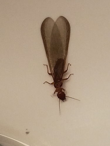
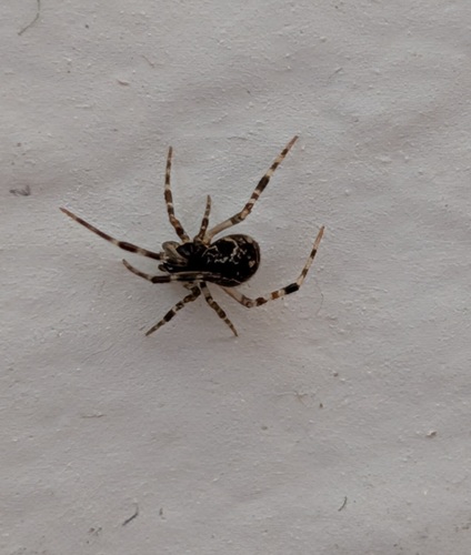
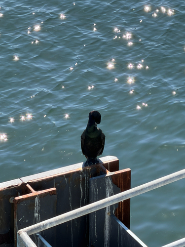
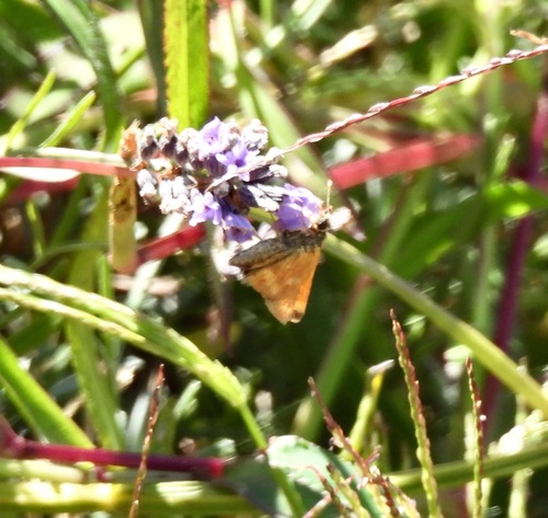
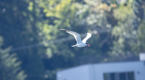
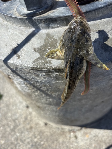
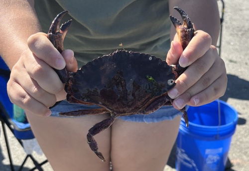
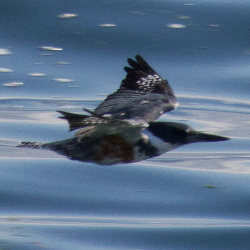
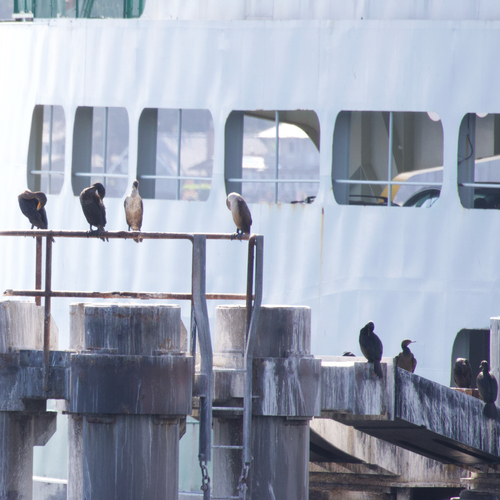
Research-grade observations from iNaturalist (within ~15 mi).
Nearest stream gauge
Events
Gallery
Sources
- • Wikipedia
- • US Census Bureau (ACS 5-year estimates)
- • NOAA National Weather Service
- • Wikidata
- • USGS Earthquake Catalog (global feed)
- • NCES via Urban Institute Education Data Portal
- • GBIF (Global Biodiversity Information Facility)
- • iNaturalist
- • CDC PLACES
- • Open-Meteo / sunrise-sunset.org
- • Wikipedia Pageviews API
- • Open Library
- • NASA EONET