Browse / United States / Washington / Hatton
Hatton
Washingtontown

Hatton
Total population
429
Median home value
$152,500
Bachelor's+
Median income
$90,917
Founded
1890
Demographic figures from US Census Bureau · ACS 5-year estimates. Overview below cites Wikipedia and may reference a different year.
City facts
Facts from Wikidata (CC0).
Overview
Hatton is a small incorporated town in Adams County, Washington, United States. The population was 79 at the 2020 census.
Read more on WikipediaHistory & geography
History
When the Northern Pacific Railway built its line through Adams County, they established a station where Hatton is and built a section and pump house. Prior to 1890, the station was named Twin Wells after the two wells that were drilled to water the railroad employees. In 1890, James Bronson established the first store and at the same time the post office was established with the name "Hatton". The name for the town was derived from the last names of the first postmistress, Belle Sutton, daughter of a local settler, and her new husband John Hackett, a Northern Pacific Railway agent from Twin Falls, Idaho. Bronson's store was purchased by Otis Algoe in 1897 who subsequently became postmaster. Hatton finally began to grow after 1901 and was platted on April 30, 1901 by James Bronson. By that time the town had four large warehouses, five stores, two hotels, a bank and a school. A newspaper, The Hatton Hustler was established during that time. Hatton was officially incorporated on July 31, 1907.
Geography
According to the United States Census Bureau, the town has a total area of , all of it land. Hatton is located within the region of Washington known as the Channeled Scablands and is situated on the west slope of the Providence Coulee with the Paradise Flats to the west and the Michigan Prairie to the east. The coulee was utilized by the Northern Pacific Railway for the construction of their main line from Portland, Oregon to Spokane. U.S. Route 395 passes just to the east of the town site, connecting the town with Interstate 90 at Ritzville in the northeast and Interstate 82 at the Tri-Cities to the southwest. The highway follows Hatton Coulee, which joins Providence Coulee immediately to the south of town. State Route 26 passes about a mile north of Hatton, connecting the town with Othello, Adams County's largest city, to the west. At the junction of Route 395 and State Route 26, about two miles east of Hatton, is the Hatton Coulee rest area operated by the Washington State Department of Transportation. There are limited services available at the junction and rest area. According to the Köppen Climate Classification system, Hatton has a semi-arid climate, abbreviated "BSk" on climate maps.
Excerpted from the corresponding Wikipedia article (CC BY-SA).
Demographics & economy
Race & ethnicity
Source: US Census Bureau — American Community Survey, 5-year estimates.
Geography
Coordinates & boundaries from the US Census TIGER/Line shapefiles.
Climate
Air quality
Industrial & pollution facilities
Natural hazard risk
Health (adults)
Walkability
Amenities nearby
Wildlife & biodiversity
Schools
Earthquake history
Photos
Sights & places nearby
Notable people from here
Nearby places in Washington
- Mesa16.1 mi away · pop. 502
- Othello16.3 mi away
- Lind16.9 mi away · pop. 565
- Warden17.1 mi away · pop. 2,581
- Marine View28 mi away
- Ritzville32.2 mi away
- Royal City38.5 mi away
- West Pasco39.6 mi away
- Prescott40.9 mi away
- West Richland41.4 mi away · pop. 17,586
- LaCrosse43.1 mi away
- Benton City46.9 mi away · pop. 3,695
Geography & sun
Elevation, sunrise/sunset and daylight from Open-Meteo. Solar climatology from NASA POWER.
Nearby airports
Public attention
Pageview totals from the Wikimedia Pageviews API.
Books about Hatton




Search results from Open Library.
Recent natural events nearby
- Wildfire NUNAMAKER ROAD, Franklin, WashingtonWildfires · 2026-08-08 · 23 mi
- Wildfire LITTLE GOOSE, Columbia, WashingtonWildfires · 2026-08-07 · 39 mi
- Wildfire WELLS ROAD, Whitman, WashingtonWildfires · 2026-08-08 · 70 mi
- Wildfire PALOUSE RIVER, Whitman, WashingtonWildfires · 2026-08-08 · 72 mi
- Wildfire Colwash, Yakima, WashingtonWildfires · 2026-08-22 · 77 mi
- Wildfire ALPOWA, Asotin, WashingtonWildfires · 2026-08-11 · 79 mi
- Wildfire MITRE ROCK, Stevens, WashingtonWildfires · 2026-08-01 · 82 mi
- Wildfire OLD TRAILS, Spokane, WashingtonWildfires · 2026-08-01 · 87 mi
Wildfires, storms and other events from NASA EONET (last 12 months, within 250 mi).
Ground air-quality sensors
Recently spotted species
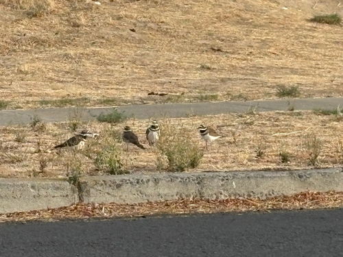
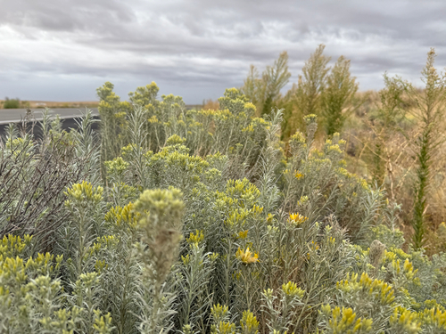
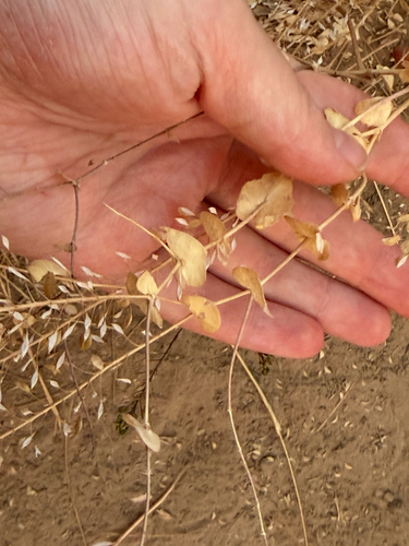
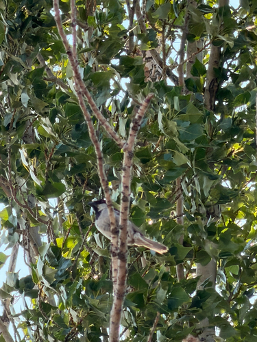
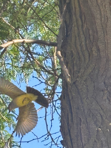
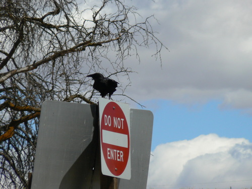
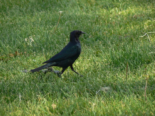
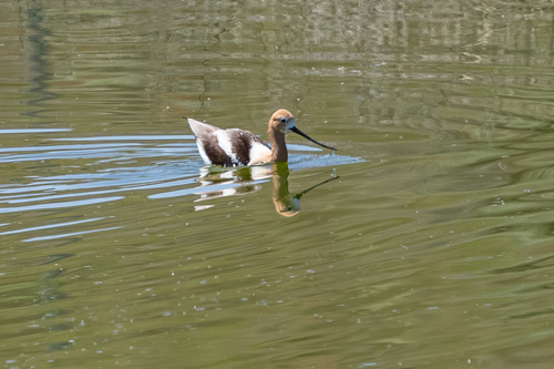
Research-grade observations from iNaturalist (within ~15 mi).
Nearest stream gauge
Events
Gallery
Sources
- • Wikipedia
- • US Census Bureau (ACS 5-year estimates)
- • Wikidata
- • iNaturalist
- • Open-Meteo / sunrise-sunset.org
- • Wikipedia Pageviews API
- • Open Library
- • NASA EONET