Browse / United States / Washington / Kent
Kent
Washingtoncity

Kent
Total population
136,587
Median home value
$632,100
Bachelor's+
Median income
$92,497
Founded
1890
Demographic figures from US Census Bureau · ACS 5-year estimates. Overview below cites Wikipedia and may reference a different year.
City facts
Facts from Wikidata (CC0).
Overview
Kent is a city in King County, Washington, United States. It is part of the Seattle metropolitan area and had a population of 136,588 as of the 2020 census. The population was estimated at 134,871 in 2025, making it the fourth-most populous municipality in greater Seattle and the sixth-most populous in Washington. The city is connected to Seattle, Bellevue, and Tacoma via State Route 167 in addition to Interstate 5, Sounder commuter rail, and commuter buses.
Read more on WikipediaHistory & geography
History
The Kent area was first permanently settled by European Americans in the 1850s along the banks of what was then the White River. The first settler was Samuel Russell, who sailed the White and Duwamish Rivers until he claimed a plot of land southeast of modern-day downtown Kent in the spring of 1853. Russell was followed by several other settlers, who quickly staked claims around the area. The settlements were originally known as "White River" and later the town was called "Titusville" after an early settler by the name of James Henry Titus. (There is still a "Titusville Station" sign on Gowe Street near First Avenue.) In 1861, a post office was established under the name White River and was located at the farm of David and Irena Neely, who settled in modern-day Kent in 1854. In 1855, their farm was attacked by Native Americans when David Neely served as a lieutenant in the territorial army. Another settler was Henry L. Yesler, who was the first sawmill operator in Seattle. By 1870, the population was 277 and all of the quality bottomland had been claimed. Throughout the 1860s and '70s, grain and forage crops such as wheat, barley, oats, hay, and timothy accounted for much of the annual return of farmers in the valley. During the late 1870s, the town discovered hops production as a major source of income. Due to an aphid invasion, which affected hops crops in Europe, hops from the Puget Sound area began to command high prices. Hops were shipped from Titusville either by the river or rail. In 1889, the town was renamed for the County of Kent, the major hops-producing region in England. Ezra Meeker was asked by the Northern Pacific Railroad to name its station. Meeker suggested that it be known as Kent as it was "Hop Capitol of the West". Kent was officially…
Geography
Kent is located in southern King County and is part of Seattle's metropolitan area. The city is divided into three geographic sections: West Hill, the Kent Valley, and East Hill. Downtown Kent is located on the east side of the valley, about 16 miles from downtown Seattle and downtown Bellevue. Adjoining cities are Renton to the north, Covington to the east, Auburn to the south, Federal Way to the southwest, Des Moines to the west, SeaTac to the northwest, and Tukwila to the north. According to the United States Census Bureau, the city has a total area of , of which (1.71%) is covered by water. extremes 1912–present) |collapsed= y |single line = Y |Jan record high F = 70 |Feb record high F = 71 |Mar record high F = 81 |Apr record high F = 89 |May record high F = 95 |Jun record high F = 106 |Jul record high F = 104 |Aug record high F = 99 |Sep record high F = 96 |Oct record high F = 87 |Nov record high F = 78 |Dec record high F = 69 |year record high F= 106 | Jan avg record high F = 57.9 | Feb avg record high F = 61.0 | Mar avg record high F = 68.4 | Apr avg record high F = 75.4 | May avg record high F = 82.1 | Jun avg record high F = 85.2 | Jul avg record high F = 90.3 | Aug avg record high F = 88.8 | Sep avg record high F = 83.5 | Oct avg record high F = 73.1 | Nov avg record high F = 63.0 | Dec avg record high F = 57.4 | year avg record high F = 93.0 |Jan high F = 48.4 |Feb high F = 51.2 |Mar high F = 55.8 |Apr high F = 61.4 |May high F = 68.0 |Jun high F = 71.9 |Jul high F = 78.3 |Aug high F = 78.3 |Sep high F = 72.5 |Oct high F = 61.3 |Nov high F = 52.7 |Dec high F = 47.0 | year high F= 62.2 |Jan mean F = 42.2 |Feb mean F = 43.7 |Mar mean F = 47.4 |Apr mean F = 52.1 |May mean F = 58.4 |Jun mean F = 62.6 |Jul mean F = 67.8 |Aug mean F = 67.8 |Sep mean F = 62.5…
Excerpted from the corresponding Wikipedia article (CC BY-SA).
Demographics & economy
Race & ethnicity
Source: US Census Bureau — American Community Survey, 5-year estimates.
Geography
Coordinates & boundaries from the US Census TIGER/Line shapefiles.
Climate
Current forecast
Forecast for Kent, WA from NOAA NWS API.
Air quality
Industrial & pollution facilities
Natural hazard risk
Health (adults)
Age-adjusted prevalence estimates from CDC PLACES (latest release).
Walkability
Amenities nearby
Wildlife & biodiversity
Schools
Largest nearby schools
- Tahoma Senior High SchoolHigh · Maple Valley · 2,790 students · 22.5:1 ratio
- Kent-Meridian High SchoolHigh · Kent · 2,128 students · 21.1:1 ratio
- Kentridge High SchoolHigh · Kent · 2,034 students · 23.1:1 ratio
- Auburn Riverside High SchoolHigh · AUBURN · 1,909 students · 22.2:1 ratio
- Mount Rainier High SchoolHigh · Des Moines · 1,873 students · 24.3:1 ratio
- Hazen Senior High SchoolHigh · Renton · 1,871 students · 24:1 ratio
- Auburn Senior High SchoolHigh · AUBURN · 1,844 students · 19.4:1 ratio
- Thomas Jefferson High SchoolHigh · AUBURN · 1,797 students · 23.6:1 ratio
Public K–12 schools within ~10 mi from Urban Institute Education Data Portal (NCES Common Core of Data, 2022).
Earthquake history
Photos
Sights & places nearby
Notable people from here


People born within ~10 km, from Wikidata (CC0). Click any name for their Wikipedia article.
Nearby places in Washington
- SeaTac5.5 mi away · pop. 32,414
- Maple Heights-Lake Desire6.5 mi away
- Lake Holm6.8 mi away · pop. 3,555
- Pacific8.9 mi away · pop. 7,066
- Newcastle10.2 mi away · pop. 12,989
- Fife Heights10.8 mi away
- Ravensdale11 mi away · pop. 198
- Edgewood11.3 mi away · pop. 13,032
- Mirrormont11.5 mi away
- Browns Point12 mi away · pop. 979
- Bonney Lake13.2 mi away · pop. 22,090
- Medina16.5 mi away · pop. 2,928
Geography & sun
Elevation, sunrise/sunset and daylight from Open-Meteo. Solar climatology from NASA POWER.
Nearby airports
Public attention
Pageview totals from the Wikimedia Pageviews API.
Books about Kent

Search results from Open Library.
Recent natural events nearby
- Wildfire KING, Kittitas, WashingtonWildfires · 2026-08-19 · 45 mi
- Wildfire GOAT, Kittitas, WashingtonWildfires · 2026-08-22 · 54 mi
- Wildfire SISI, Chelan, WashingtonWildfires · 2026-08-14 · 92 mi
- Wildfire Electric, Whatcom, WashingtonWildfires · 2026-08-22 · 94 mi
- Wildfire Thunder Creek, Skagit, WashingtonWildfires · 2026-08-22 · 97 mi
- Wildfire Colwash, Yakima, WashingtonWildfires · 2026-08-22 · 127 mi
- Wildfire SECOND STREET, Benton, WashingtonWildfires · 2026-09-25 · 152 mi
- Wildfire Austin Non-Stat, Clackamas, OregonWildfires · 2026-08-12 · 164 mi
Wildfires, storms and other events from NASA EONET (last 12 months, within 250 mi).
Ground air-quality sensors
Recently spotted species

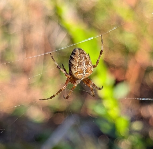
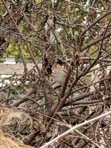
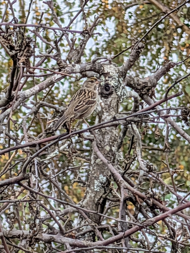
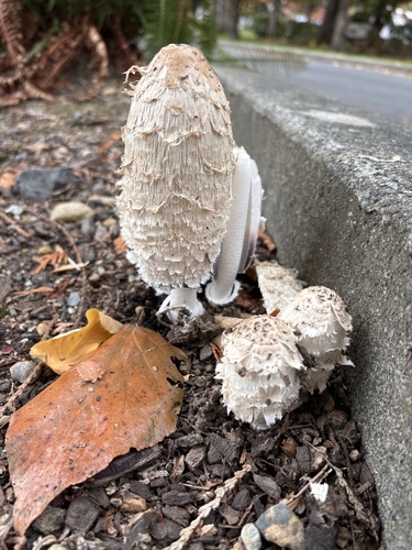
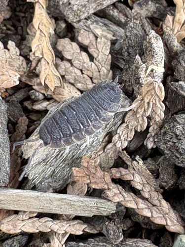

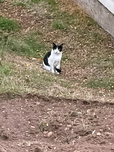
Research-grade observations from iNaturalist (within ~15 mi).
Nearest stream gauge
Events
Gallery
Sources
- • Wikipedia
- • US Census Bureau (ACS 5-year estimates)
- • NOAA National Weather Service
- • Wikidata
- • NCES via Urban Institute Education Data Portal
- • iNaturalist
- • CDC PLACES
- • Open-Meteo / sunrise-sunset.org
- • Wikipedia Pageviews API
- • Open Library
- • NASA EONET