Browse / United States / Washington / Laurier
Laurier
WashingtonCDP
Total population
0
Median home value
$0
Median income
$0
Air quality index
Demographic figures from US Census Bureau · ACS 5-year estimates. Overview below cites Wikipedia and may reference a different year.
City facts
Facts from Wikidata (CC0).
Overview
Laurier is a census-designated place in Ferry County, Washington that neighbors the Canada–United States border. The nearest school district is Orient School District. According to the 2020 census, Laurier had a population of four permanent residents, up from a population of 1 in the 2010 Census.
Read more on WikipediaHistory & geography
Demographics & economy
Source: US Census Bureau — American Community Survey, 5-year estimates.
Geography
Coordinates & boundaries from the US Census TIGER/Line shapefiles.
Climate
Air quality
Current readings from Open-Meteo Air Quality API (Copernicus CAMS European reanalysis).
Industrial & pollution facilities
Natural hazard risk
Health (adults)
Walkability
Amenities nearby
Wildlife & biodiversity
Most-observed species
- American RobinTurdus migratorius Linnaeus, 1766 · Aves454
- Northern FlickerColaptes auratus (Linnaeus, 1758) · Aves418
- Song SparrowMelospiza melodia (A.Wilson, 1810) · Aves373
- Black-capped ChickadeePoecile atricapillus (Linnaeus, 1766) · Aves343
- American CrowCorvus brachyrhynchos C.L.Brehm, 1822 · Aves339
- Red-breasted NuthatchSitta canadensis Linnaeus, 1766 · Aves271
- Spotted TowheePipilo maculatus Swainson, 1827 · Aves249
- Canada Goose (canadensis Group)Branta canadensis (Linnaeus, 1758) · Aves242
Citizen-science & research observations from the Global Biodiversity Information Facility (GBIF).
Schools
Largest nearby schools
- Orient Elementary SchoolElementary · ORIENT · 41 students
Public K–12 schools within ~10 mi from Urban Institute Education Data Portal (NCES Common Core of Data, 2022).
Earthquake history
Most recent
- M 2.9 — 2026-08-1918 km ENE of Okanagan Falls, Canada
- M 2.77 — 2025-11-308 km ESE of Loomis, Washington
- M 3.31 — 2025-11-219 km ESE of Loomis, Washington
- M 2.85 — 2025-11-198 km E of Loomis, Washington
- M 2.77 — 2025-11-158 km E of Loomis, Washington
- M 3.14 — 2025-05-159 km NW of Tonasket, Washington
Events from the USGS Earthquake Catalog (global) (FDSN Event Web Service).
Photos
Sights & places nearby
Notable people from here
Nearby places in Washington
- Danville12.8 mi away · pop. 9
- Barstow15.7 mi away · pop. 246
- Northport21 mi away · pop. 164
- Malo22.3 mi away
- Barney's Junction26.4 mi away
- Curlew Lake27.2 mi away · pop. 533
- Kettle Falls28.1 mi away
- Pine Grove31.8 mi away
- Republic33.4 mi away · pop. 984
- Metaline39.3 mi away
- Metaline Falls39.8 mi away
- Chewelah54.6 mi away · pop. 2,606
Geography & sun
Nearby airports
Public attention
Books about this place
Recent natural events nearby
- Wildfire HUDSPETH, Stevens, WashingtonWildfires · 2026-08-01 · 63 mi
- Wildfire Parker Lake, Boundary, IdahoWildfires · 2026-08-23 · 73 mi
- Wildfire MITRE ROCK, Stevens, WashingtonWildfires · 2026-08-01 · 75 mi
- Wildfire Silver, Boundary, IdahoWildfires · 2026-08-23 · 76 mi
- Wildfire AUTUMN LANE, Spokane, WashingtonWildfires · 2026-08-01 · 88 mi
- Wildfire FAIRVIEW, Spokane, WashingtonWildfires · 2026-08-01 · 95 mi
- Wildfire OLD TRAILS, Spokane, WashingtonWildfires · 2026-08-01 · 96 mi
- Wildfire WELLS ROAD, Whitman, WashingtonWildfires · 2026-08-08 · 126 mi
Wildfires, storms and other events from NASA EONET (last 12 months, within 250 mi).
Ground air-quality sensors
Recently spotted species
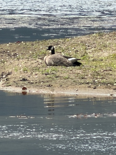
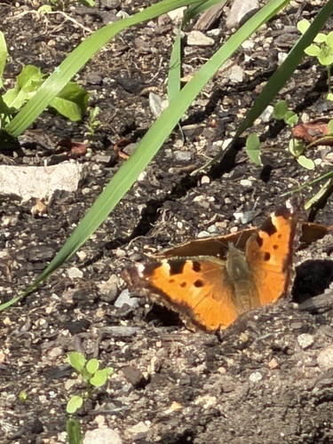
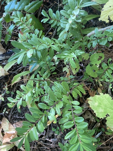
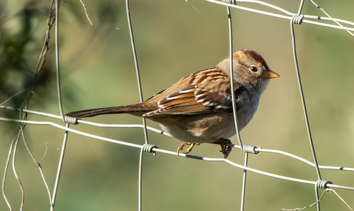
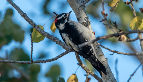
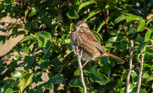
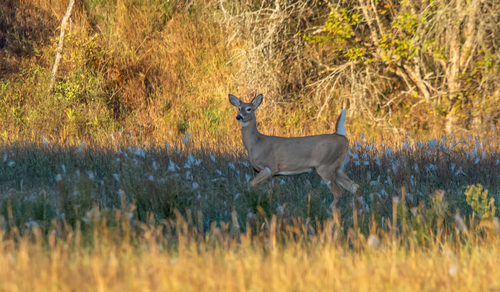
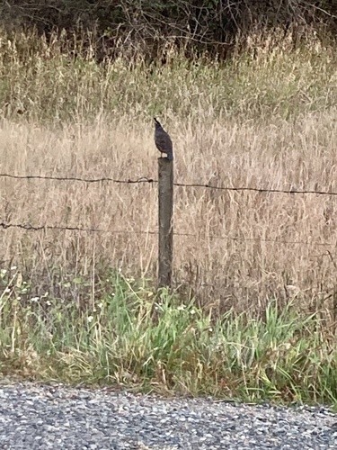
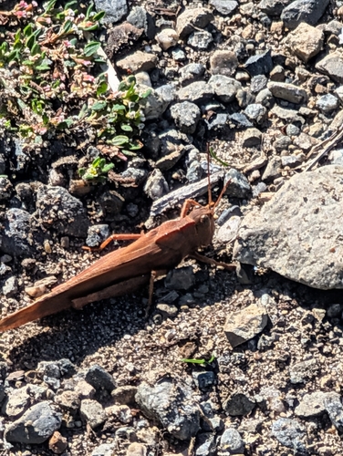
Research-grade observations from iNaturalist (within ~15 mi).
Nearest stream gauge
Events
Gallery
Sources
- • Wikipedia
- • US Census Bureau (ACS 5-year estimates)
- • Wikidata
- • Open-Meteo Air Quality (CAMS)
- • USGS Earthquake Catalog (global feed)
- • NCES via Urban Institute Education Data Portal
- • GBIF (Global Biodiversity Information Facility)
- • iNaturalist
- • NASA EONET