Browse / United States / Washington / Olympia
Olympia
Washingtoncity

Olympia
Total population
55,951
Median home value
$486,200
Bachelor's+
Median income
$81,302
Founded
1859
Demographic figures from US Census Bureau · ACS 5-year estimates. Overview below cites Wikipedia and may reference a different year.
City facts
Sister cities
Facts from Wikidata (CC0).
Overview
Olympia is the capital city of the U.S. state of Washington. The population was 55,605 at the 2020 census, while the Olympia metropolitan statistical area has an estimated 300,000 residents. Olympia is the county seat of Thurston County and anchors the South Puget Sound region of western Washington, 50 miles (80 km) southwest of Seattle.
Read more on WikipediaHistory & geography
History
For thousands of years, the site of Olympia has been home to the Lushootseed-speaking people known as the Stechass (), who are today part of the Squaxin Island Tribe. Other Native Americans regularly visited the head of Budd Inlet, including the other ancestral tribes of the Squaxin, as well as the Nisqually, Puyallup, Chehalis, Suquamish, and Duwamish. The peninsula on which Olympia was built was named , meaning 'black bear place,' and a Stechass village was located at the site of Olympia. The modern city of Olympia has come to be called in the Lushootseed language; originally the name referred to all Budd Inlet. because of its view of the Olympic Mountains to the northwest. The area began to be served by a small fleet of steamboats known as the Puget Sound Mosquito Fleet. It was declared the capital of the Washington Territories by Governor Isaac I. Stevens in November 1853. Olympia was the first and only capital of Washington in its history as both a territory and a state. Over two days, December 24–26, 1854, Governor Stevens negotiated the Treaty of Medicine Creek with the representatives of the Nisqually, Puyallup, Squawksin, Stechass, Noo-Seh-Chatl, Squi-Aitl, T'Peeksin, Sahewamish, and S'Hotl-Ma-Mish tribes. Stevens's treaty included the preservation of Indigenous fishing, hunting, gathering and other rights. It also included a section which, at least as interpreted by United States officials, required the Native American signatories to move to one of three reservations. Doing so would effectively force the Nisqually people to cede their prime farming and living space. An additional agreement between the state, city, and indigenous groups, known as the Treaty of Olympia or as the Quinault Treaty, was completed during 1855. One of the leaders of the Nisqually,…
Geography
Olympia is located in Thurston County at the southern end of Puget Sound on Budd Inlet, where the Deschutes River estuary enters the Sound. The river was dammed in 1951 to create Capitol Lake; in late 2022 the state government approved the dam's removal to restore the estuary at an unspecified date. The city is southwest of Seattle, the most populous city in Washington, and north of Portland, Oregon. The cities of Lacey and Tumwater border Olympia. , Olympia had an area of , of which was land and was water. The area is located near the southern limit of the Fraser Glaciation and the underlying sediments consist largely of Vashon-age till and outwash deposited at that time; the area also includes former lakebeds and alluvial deposits associated with proglacial lakes that existed in the area near the end of Vashon-stage glaciation. Residual glacial topography in the area includes drumlins, subglacial channels, and kettle lakes. Much of downtown Olympia sits on reclaimed land. Tidewater areas were filled as early as the 1870s, but the major change occurred in 1910–11 with placement of the Carlyon Fill (named for mayor Phillip H. Carlyon). Over of sediment were dredged, thereby creating a deep-water port at Olympia; the dredged material was used to fill tidelands, creating almost 30 blocks of what is now downtown. Olympia has a warm-summer Mediterranean climate (Köppen: Csb). The local microclimate has dry summers in July and mildly humid summers in early June and late August, with cool July and August overnight lows. It is part of USDA Hardiness zone 8a, with isolated pockets around Puget Sound in zone 8b. Most of western Washington's weather is brought in by weather systems that form near the Aleutian Islands in Alaska. It contains cold moist air, which brings…
Excerpted from the corresponding Wikipedia article (CC BY-SA).
Demographics & economy
Race & ethnicity
Source: US Census Bureau — American Community Survey, 5-year estimates.
Geography
Coordinates & boundaries from the US Census TIGER/Line shapefiles.
Climate
Current forecast
Forecast for Olympia, WA from NOAA NWS API.
Air quality
Industrial & pollution facilities
Natural hazard risk
Health (adults)
Age-adjusted prevalence estimates from CDC PLACES (latest release).
Walkability
Amenities nearby
Wildlife & biodiversity
Most-observed species
- Song SparrowMelospiza melodia (A.Wilson, 1810) · Aves30,818
- American RobinTurdus migratorius Linnaeus, 1766 · Aves27,362
- American CrowCorvus brachyrhynchos C.L.Brehm, 1822 · Aves26,606
- Black-capped ChickadeePoecile atricapillus (Linnaeus, 1766) · Aves25,432
- Spotted TowheePipilo maculatus Swainson, 1827 · Aves23,573
- MallardAnas platyrhynchos Linnaeus, 1758 · Aves22,825
- Northern FlickerColaptes auratus (Linnaeus, 1758) · Aves19,073
- Dark-eyed JuncoJunco hyemalis (Linnaeus, 1758) · Aves18,977
Citizen-science & research observations from the Global Biodiversity Information Facility (GBIF).
Schools
Largest nearby schools
- Olympia High SchoolHigh · OLYMPIA · 1,838 students · 22.7:1 ratio
- River Ridge High SchoolHigh · Lacey · 1,476 students · 19.2:1 ratio
- North Thurston High SchoolHigh · Lacey · 1,440 students · 20.3:1 ratio
- Timberline High SchoolHigh · Lacey · 1,404 students · 21.6:1 ratio
- Capital High SchoolHigh · OLYMPIA · 1,326 students · 21.7:1 ratio
- Tumwater High SchoolHigh · Tumwater · 1,111 students · 22.7:1 ratio
- Washington Connections Academy - Mary M. KnightElementary · Tumwater · 862 students · 24.6:1 ratio
- A G West Black Hills High SchoolHigh · Tumwater · 833 students · 24.5:1 ratio
Public K–12 schools within ~10 mi from Urban Institute Education Data Portal (NCES Common Core of Data, 2022).
Earthquake history
Most recent
- M 2.64 — 2026-10-155 km SW of Wilderness Rim, Washington
- M 2.65 — 2026-10-145 km WSW of Wilderness Rim, Washington
- M 4.15 — 2026-09-296 km WNW of Wauna, Washington
- M 3.75 — 2026-09-0520 km E of Castle Rock, Washington
- M 2.84 — 2026-05-274 km W of Wauna, Washington
- M 2.52 — 2026-03-177 km SE of Mineral, Washington
Events from the USGS Earthquake Catalog (global) (FDSN Event Web Service).
Photos
Sights & places nearby
Notable people from here


People born within ~10 km, from Wikidata (CC0). Click any name for their Wikipedia article.
Nearby places in Washington
- Tanglewilde5.4 mi away
- Nisqually Indian Community10.1 mi away · pop. 628
- Steilacoom16.8 mi away · pop. 6,686
- Home16.9 mi away · pop. 1,665
- Bucoda17 mi away · pop. 494
- Fox Island19 mi away · pop. 3,414
- McChord AFB20 mi away · pop. 2,999
- Fircrest22.1 mi away · pop. 7,069
- Centralia22.3 mi away · pop. 18,830
- Wollochet22.4 mi away · pop. 6,689
- Parkland22.6 mi away · pop. 38,742
- Raft Island22.6 mi away
Geography & sun
Elevation, sunrise/sunset and daylight from Open-Meteo. Solar climatology from NASA POWER.
Nearby airports
Public attention
Pageview totals from the Wikimedia Pageviews API.
Books about Olympia

Search results from Open Library.
Recent natural events nearby
- Wildfire KING, Kittitas, WashingtonWildfires · 2026-08-19 · 82 mi
- Wildfire GOAT, Kittitas, WashingtonWildfires · 2026-08-22 · 91 mi
- Wildfire Electric, Whatcom, WashingtonWildfires · 2026-08-22 · 130 mi
- Wildfire SISI, Chelan, WashingtonWildfires · 2026-08-14 · 132 mi
- Wildfire Thunder Creek, Skagit, WashingtonWildfires · 2026-08-22 · 136 mi
- Wildfire Colwash, Yakima, WashingtonWildfires · 2026-08-22 · 141 mi
- Wildfire Austin Non-Stat, Clackamas, OregonWildfires · 2026-08-12 · 146 mi
- Wildfire AUSTIN, Clackamas, OregonWildfires · 2026-08-09 · 147 mi
Wildfires, storms and other events from NASA EONET (last 12 months, within 250 mi).
Ground air-quality sensors
Recently spotted species
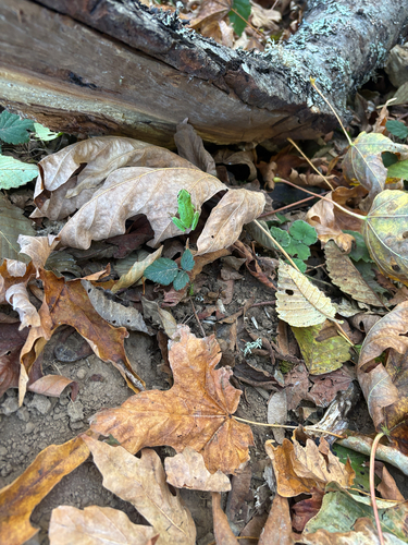
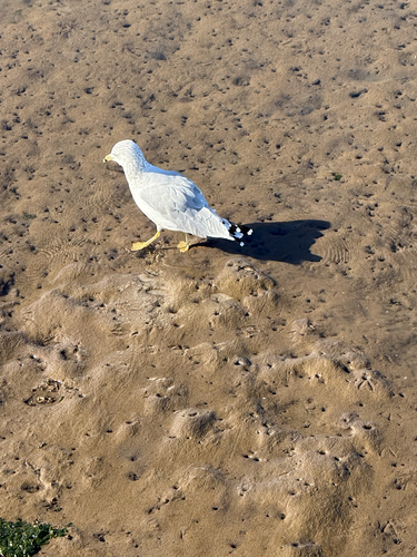
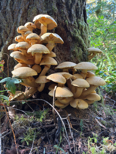
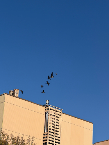
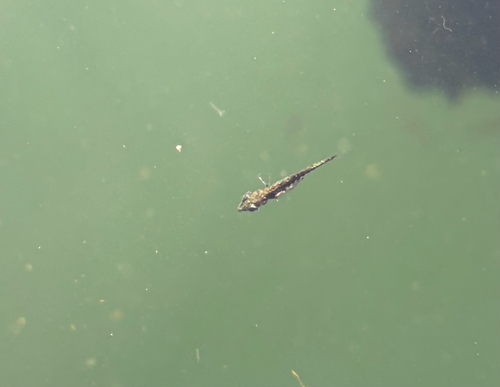
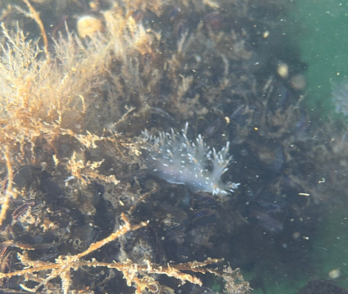
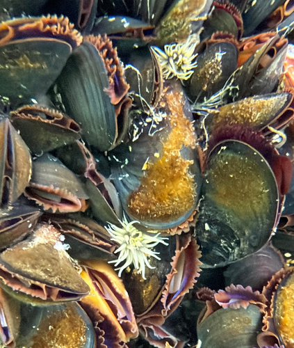
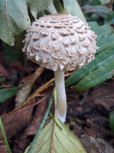
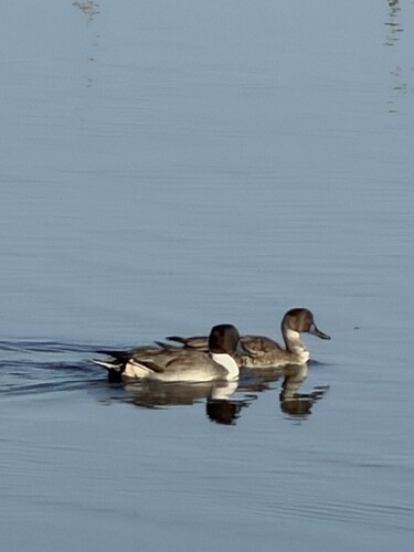
Research-grade observations from iNaturalist (within ~15 mi).
Nearest stream gauge
Live readings from USGS NWIS · measured 2026-09-16 23:45 UTC.
Events
Gallery
Geotagged photos within ~6 miles of Olympia, from Wikimedia Commons contributors.
 0.1 mi
 0.1 mi
 0.1 mi
 0.1 mi
 0.2 mi
 0.2 mi
.jpg) 0.2 mi
0.2 mi 0.2 mi
.jpg) 0.2 mi
0.2 mi.jpg) 0.2 mi
0.2 mi.jpg) 0.2 mi
0.2 mi 0.2 mi
 0.2 mi
 0.2 mi
.jpg) 0.2 mi
0.2 mi 0.3 mi
 0.3 mi
 0.3 mi
 0.3 mi
 0.3 mi
 0.3 mi
_-_0595.jpg) 0.3 mi
0.3 mi 0.3 mi
 0.3 mi
Photos via Wikimedia Commons — see each image page for license & attribution.
Sources
- • Wikipedia
- • US Census Bureau (ACS 5-year estimates)
- • NOAA National Weather Service
- • Wikimedia Commons
- • Wikidata
- • USGS Earthquake Catalog (global feed)
- • USGS NWIS (water data)
- • NCES via Urban Institute Education Data Portal
- • GBIF (Global Biodiversity Information Facility)
- • iNaturalist
- • CDC PLACES
- • Open-Meteo / sunrise-sunset.org
- • Wikipedia Pageviews API
- • Open Library
- • NASA EONET