Browse / United States / Washington / Orient
Orient
WashingtonCDP

Orient
Total population
87
Median home value
$9,999
Bachelor's+
Median income
$0
Demographic figures from US Census Bureau · ACS 5-year estimates. Overview below cites Wikipedia and may reference a different year.
City facts
Overview
Orient is a small census designated place in northeastern Ferry County, Washington, United States. The Kettle River flows to the east of the town and marks the border with Stevens County. A BNSF rail line runs through the town alongside U.S. Route 395. As of the 2020 census, Orient had a population of 75.
Read more on WikipediaHistory & geography
History
Orient was the endpoint of a cable bucket tramway completed in 1892 that ran from the First Thought Mine. The First Thought Mine closed down in 1942. Orient was first settled in 1900 by Alec Ireland and by George Temple in 1901. Other excavation sites that were located in the area include such mines as Hidden Treasure, Red Lion, Copper butte, Globe, and Scotia.
Excerpted from the corresponding Wikipedia article (CC BY-SA).
Demographics & economy
Race & ethnicity
Source: US Census Bureau — American Community Survey, 5-year estimates.
Geography
Coordinates & boundaries from the US Census TIGER/Line shapefiles.
Climate
Current forecast
Forecast for Orient, WA from NOAA NWS API.
Air quality
Industrial & pollution facilities
Natural hazard risk
Health (adults)
Age-adjusted prevalence estimates from CDC PLACES (latest release).
Walkability
Amenities nearby
Wildlife & biodiversity
Most-observed species
- Red-breasted NuthatchSitta canadensis Linnaeus, 1766 · Aves898
- American RobinTurdus migratorius Linnaeus, 1766 · Aves791
- Black-capped ChickadeePoecile atricapillus (Linnaeus, 1766) · Aves780
- Spotted TowheePipilo maculatus Swainson, 1827 · Aves641
- Mountain ChickadeePoecile gambeli (Ridgway, 1886) · Aves636
- Dark-eyed JuncoJunco hyemalis (Linnaeus, 1758) · Aves577
- Northern FlickerColaptes auratus (Linnaeus, 1758) · Aves560
- Pine SiskinSpinus pinus (A.Wilson, 1810) · Aves543
Citizen-science & research observations from the Global Biodiversity Information Facility (GBIF).
Schools
Largest nearby schools
- Orient Elementary SchoolElementary · ORIENT · 41 students
Public K–12 schools within ~10 mi from Urban Institute Education Data Portal (NCES Common Core of Data, 2022).
Earthquake history
Most recent
- M 2.77 — 2025-11-308 km ESE of Loomis, Washington
- M 3.31 — 2025-11-219 km ESE of Loomis, Washington
- M 2.85 — 2025-11-198 km E of Loomis, Washington
- M 2.77 — 2025-11-158 km E of Loomis, Washington
- M 3.14 — 2025-05-159 km NW of Tonasket, Washington
- M 3.23 — 2025-04-208 km NW of Tonasket, Washington
Events from the USGS Earthquake Catalog (global) (FDSN Event Web Service).
Photos
Sights & places nearby
Notable people from here
Nearby places in Washington
Geography & sun
Elevation, sunrise/sunset and daylight from Open-Meteo. Solar climatology from NASA POWER.
Nearby airports
Public attention
Pageview totals from the Wikimedia Pageviews API.
Books about Orient


Search results from Open Library.
Recent natural events nearby
- Wildfire HUDSPETH, Stevens, WashingtonWildfires · 2026-08-01 · 54 mi
- Wildfire MITRE ROCK, Stevens, WashingtonWildfires · 2026-08-01 · 66 mi
- Wildfire SINLAHEKIN, Okanogan, WashingtonWildfires · 2026-07-26 · 69 mi
- Wildfire Parker Lake, Boundary, IdahoWildfires · 2026-08-23 · 72 mi
- Wildfire Silver, Boundary, IdahoWildfires · 2026-08-23 · 72 mi
- Wildfire AUTUMN LANE, Spokane, WashingtonWildfires · 2026-08-01 · 79 mi
- Wildfire FAIRVIEW, Spokane, WashingtonWildfires · 2026-08-01 · 86 mi
- Wildfire OLD TRAILS, Spokane, WashingtonWildfires · 2026-08-01 · 87 mi
Wildfires, storms and other events from NASA EONET (last 12 months, within 250 mi).
Ground air-quality sensors
Recently spotted species
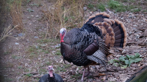
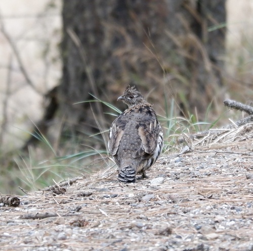
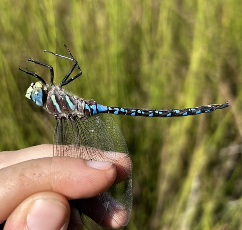
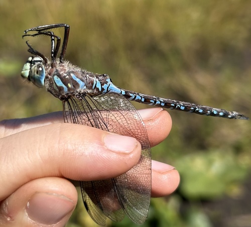
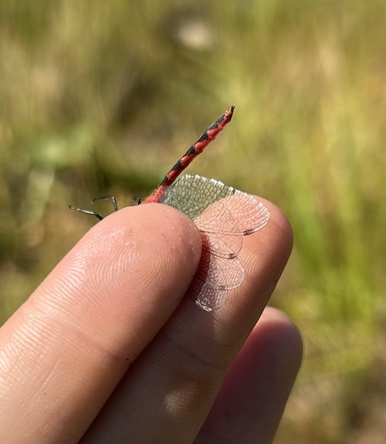
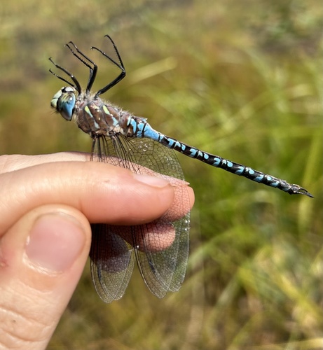
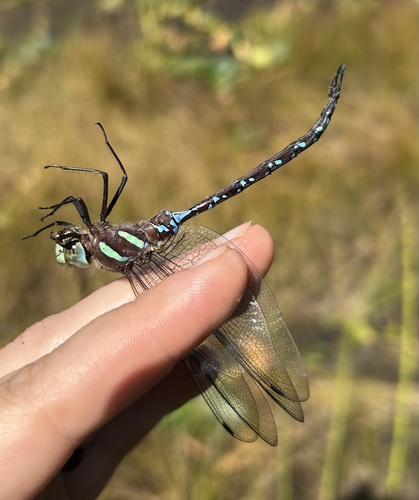
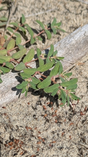
Research-grade observations from iNaturalist (within ~15 mi).
Nearest stream gauge
Live readings from USGS NWIS · measured 2026-09-24 10:15 UTC.
Events
Gallery
Sources
- • Wikipedia
- • US Census Bureau (ACS 5-year estimates)
- • NOAA National Weather Service
- • Wikidata
- • USGS Earthquake Catalog (global feed)
- • USGS NWIS (water data)
- • NCES via Urban Institute Education Data Portal
- • GBIF (Global Biodiversity Information Facility)
- • iNaturalist
- • CDC PLACES
- • Open-Meteo / sunrise-sunset.org
- • Wikipedia Pageviews API
- • Open Library
- • NASA EONET