Browse / United States / Washington / Pasco
Pasco
Washingtoncity

Pasco
Total population
79,921
Median home value
$426,300
Bachelor's+
Median income
$82,974
Founded
1891
Demographic figures from US Census Bureau · ACS 5-year estimates. Overview below cites Wikipedia and may reference a different year.
City facts
Facts from Wikidata (CC0).
Overview
Pasco is a city in and the county seat of Franklin County, Washington, United States. The population was 77,108 at the 2020 census, and estimated at 81,724 in 2024. Pasco is one of three cities that make up Washington state's Tri-Cities region, a mid-sized metropolitan area of approximately 303,622 people.
Read more on WikipediaHistory & geography
History
On October 16, 1805, the Lewis and Clark Expedition camped in the Pasco area, at a site now commemorated by Sacajawea State Park. The area was frequented by fur trappers and gold traders. In the 1880s, the Northern Pacific Railway was built near the Columbia River, bringing many settlers to the area. Pasco was officially incorporated on September 3, 1891. It was named by Virgil Bogue, a construction engineer for the Northern Pacific Railway after Cerro de Pasco, a city in the Peruvian Andes, where he had helped build a railroad. In its early years Pasco was a small railroad town, but the completion of the Grand Coulee Dam in 1941 brought irrigation and agriculture to the area. Due largely to the presence of the Hanford Site (which made the plutonium for the "Fat Man" nuclear bomb used on Nagasaki in 1945), the entire Tri-Cities area grew rapidly from the 1940s through 1950s. However, most of the population influx resided in Richland and Kennewick, as Pasco remained primarily driven by the agricultural industry, and to a lesser degree the NP Pasco rail yards. After the end of World War II, the entire region went through several "boom" and "bust" periods, cycling approximately every 10 years and heavily based on available government funding for Hanford-related work. Farming continues to be the economic driver for most of the city's industrial tax base. Pasco was not a sundown town in the same way as Richland and Kennewick; however, Jim Crow laws restricted African Americans to living only on the east side of the railroad tracks, which was largely underdeveloped and lacked public water or garbage service. In the 1940s, Edward R. Dudley visited as an investigator from the NAACP and observed widespread discrimination from businesses and law enforcement. In a 1947 survey,…
Geography
According to the United States Census Bureau, the city has a total area of , of which is land and is water. The Columbia River borders the south side of the city, separating it from the neighboring cities of Richland and Kennewick. As Pasco is located in Southeastern Washington, the city lies in the rain shadow of the Cascade Range. As a result, the area is a windswept desert, receiving little precipitation throughout the year. Hot summers, warm springs, and cold winters provide a stark contrast to other areas of the state. Climate data is sparse, as there is no functioning weather station in the city; more reliable data is provided by the weather station in nearby Walla Walla.
Excerpted from the corresponding Wikipedia article (CC BY-SA).
Demographics & economy
Race & ethnicity
Source: US Census Bureau — American Community Survey, 5-year estimates.
Geography
Coordinates & boundaries from the US Census TIGER/Line shapefiles.
Climate
Current forecast
Forecast for Pasco, WA from NOAA NWS API.
Air quality
Industrial & pollution facilities
Natural hazard risk
Health (adults)
Walkability
Amenities nearby
Wildlife & biodiversity
Most-observed species
- MallardAnas platyrhynchos Linnaeus, 1758 · Aves15,801
- Canada Goose (canadensis Group)Branta canadensis (Linnaeus, 1758) · Aves11,913
- House FinchHaemorhous mexicanus (P.L.Statius Müller, 1776) · Aves11,848
- Ring-billed GullLarus delawarensis Ord, 1815 · Aves9,703
- Red-winged BlackbirdAgelaius phoeniceus (Linnaeus, 1766) · Aves9,581
- Mourning DoveZenaida macroura (Linnaeus, 1758) · Aves9,472
- Song SparrowMelospiza melodia (A.Wilson, 1810) · Aves8,826
- European StarlingSturnus vulgaris Linnaeus, 1758 · Aves8,576
Citizen-science & research observations from the Global Biodiversity Information Facility (GBIF).
Schools
Earthquake history
Most recent
- M 2.8000000000000003 — 2026-02-025 km ESE of Benton City, Washington
- M 2.94 — 2024-09-2312 km SE of Desert Aire, Washington
- M 2.84 — 2024-04-204 km S of Richland, Washington
- M 2.53 — 2019-09-299 km SE of Desert Aire, Washington
- M 2.51 — 2019-07-1211 km SW of Royal City, Washington
- M 3.25 — 2019-06-1611 km SW of Royal City, Washington
Events from the USGS Earthquake Catalog (global) (FDSN Event Web Service).
Photos
Sights & places nearby
Notable people from here
Nearby places in Washington
- West Pasco3 mi away
- West Richland13.1 mi away · pop. 17,586
- Benton City17.1 mi away · pop. 3,695
- Mesa22 mi away · pop. 502
- Touchet26.5 mi away
- Prosser31.1 mi away · pop. 6,305
- Hatton37.7 mi away · pop. 429
- Prescott38.7 mi away · pop. 389
- Waitsburg46.4 mi away · pop. 1,083
- Dixie47.2 mi away · pop. 133
- Desert Aire48.5 mi away
- Warden48.6 mi away · pop. 2,581
Geography & sun
Elevation, sunrise/sunset and daylight from Open-Meteo. Solar climatology from NASA POWER.
Nearby airports
Public attention
Pageview totals from the Wikimedia Pageviews API.
Books about Pasco

Search results from Open Library.
Recent natural events nearby
- Wildfire SECOND STREET, Benton, WashingtonWildfires · 2026-09-25 · 17 mi
- Wildfire Hatch Grade, Walla Walla, WashingtonWildfires · 2026-09-29 · 20 mi
- Wildfire NUNAMAKER ROAD, Franklin, WashingtonWildfires · 2026-08-08 · 41 mi
- Wildfire Colwash, Yakima, WashingtonWildfires · 2026-08-22 · 52 mi
- Wildfire LITTLE GOOSE, Columbia, WashingtonWildfires · 2026-08-07 · 53 mi
- Wildfire Ruggs, Morrow, OregonWildfires · 2026-08-31 · 75 mi
- Wildfire ALPOWA, Asotin, WashingtonWildfires · 2026-08-11 · 90 mi
- Wildfire PALOUSE RIVER, Whitman, WashingtonWildfires · 2026-08-08 · 96 mi
Wildfires, storms and other events from NASA EONET (last 12 months, within 250 mi).
Ground air-quality sensors
Recently spotted species
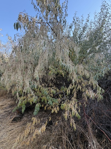
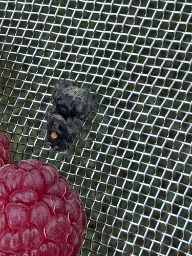
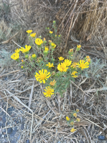
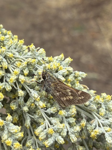
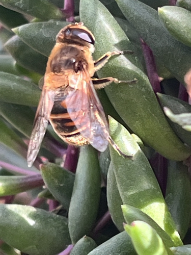
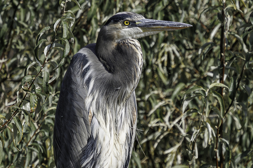
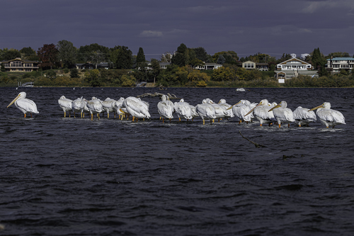
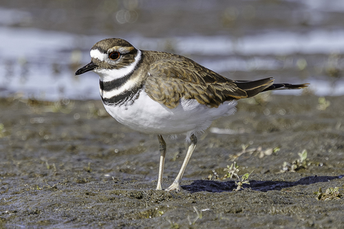
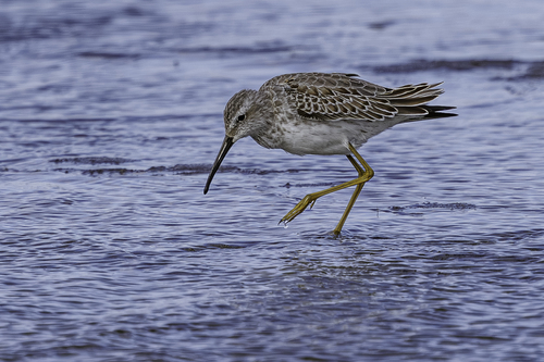
Research-grade observations from iNaturalist (within ~15 mi).
Nearest stream gauge
Live readings from USGS NWIS · measured 2026-10-16 07:00 UTC.
Events
Gallery
Sources
- • Wikipedia
- • US Census Bureau (ACS 5-year estimates)
- • NOAA National Weather Service
- • Wikidata
- • USGS Earthquake Catalog (global feed)
- • USGS NWIS (water data)
- • GBIF (Global Biodiversity Information Facility)
- • iNaturalist
- • Open-Meteo / sunrise-sunset.org
- • Wikipedia Pageviews API
- • Open Library
- • NASA EONET