Browse / United States / Washington / Raymond
Raymond
Washingtoncity

Raymond
Total population
3,210
Median home value
$267,500
Bachelor's+
Median income
$48,516
Demographic figures from US Census Bureau · ACS 5-year estimates. Overview below cites Wikipedia and may reference a different year.
City facts
Facts from Wikidata (CC0).
Overview
Raymond is a city in Pacific County, Washington, United States. The population was 2,882 at the 2010 census. The 2020 census showed the population of 3,081, an increase of 6.4%. The town's economy has traditionally been based on logging and fishing, together with a limited amount of tourism.
Read more on WikipediaHistory & geography
History
Raymond was incorporated on August 6, 1907. Raymond was named after L.V. Raymond, who was the first postmaster in Raymond. In the early years, Raymond's business section was built on stilts five or six feet above the tidelands and sloughs that crisscrossed the site. Elevated sidewalks and streets connected most of the buildings. Raymond claimed a population of 6,000 in the year 1913 and had a reputation as a wild and wooly lumber mill town. City fathers resisted the unwanted reputation with promotions of Raymond as "The Empire City of Willapa Harbor" and "The City That Does Things". Lyricist Robert Wells, who wrote "The Christmas Song" with Mel Tormé, was born in Raymond in 1922. Raymond is the city where the grunge band Nirvana played their first gig, on March 7, 1987. After Washington Initiative 502 was passed in November 2012, which legalized the recreational use of marijuana, Raymond has become a center for cultivation and sale of the drug. Raymond's economy historically revolved around logging and fishing, but the decline of those jobs over time and the arrival of marijuana producers and processors have led the town to encourage the business.
Geography
According to the United States Census Bureau, the city has a total area of , of which, is land and is water. According to the Köppen Climate Classification system, Raymond has a warm-summer Mediterranean climate, abbreviated "Csb" on climate maps. On June 27, 2021, Raymond reached a maximum recorded temperature of 103 degrees Fahrenheit.
Excerpted from the corresponding Wikipedia article (CC BY-SA).
Demographics & economy
Race & ethnicity
Source: US Census Bureau — American Community Survey, 5-year estimates.
Geography
Coordinates & boundaries from the US Census TIGER/Line shapefiles.
Climate
Current forecast
Forecast for Raymond, WA from NOAA NWS API.
Air quality
Industrial & pollution facilities
Natural hazard risk
Health (adults)
Age-adjusted prevalence estimates from CDC PLACES (latest release).
Walkability
Amenities nearby
Wildlife & biodiversity
Most-observed species
- European StarlingSturnus vulgaris Linnaeus, 1758 · Aves2,764
- Great Blue/Cocoi HeronArdea herodias Linnaeus, 1758 · Aves2,763
- Marbled GodwitLimosa fedoa (Linnaeus, 1758) · Aves2,324
- American CrowCorvus brachyrhynchos C.L.Brehm, 1822 · Aves2,301
- Rock PigeonColumba livia J.F.Gmelin, 1789 · Aves2,253
- WilletTringa semipalmata (J.F.Gmelin, 1789) · Aves2,121
- Double-crested CormorantPhalacrocorax auritus (Lesson, 1831) · Aves2,065
- Western GullLarus occidentalis Audubon, 1839 · Aves1,949
Citizen-science & research observations from the Global Biodiversity Information Facility (GBIF).
Schools
Largest nearby schools
- Mike Morris ElementaryElementary · SOUTH BEND · 294 students · 16.3:1 ratio
- South Bend High SchoolHigh · South Bend · 266 students · 15.6:1 ratio
- Raymond Jr Sr High SchoolHigh · RAYMOND · 259 students · 15.2:1 ratio
- Raymond Elementary SchoolElementary · RAYMOND · 224 students · 13.2:1 ratio
- Willapa Valley Middle-HighHigh · Raymond · 186 students · 14.3:1 ratio
- Willapa ElementaryElementary · Raymond · 158 students · 14.4:1 ratio
- Pacific Virtual LearningOther · South Bend · 16 students
- Developmental PreschoolOther · Raymond
Public K–12 schools within ~10 mi from Urban Institute Education Data Portal (NCES Common Core of Data, 2022).
Earthquake history
Most recent
- M 3.73 — 2026-09-0520 km E of Castle Rock, Washington
- M 2.86 — 2026-03-112 km W of Home, Washington
- M 2.65 — 2025-12-195 km WSW of Pe Ell, Washington
- M 2.84 — 2025-05-1325 km WNW of Hoodsport, Washington
- M 2.74 — 2024-12-317 km NNW of Montesano, Washington
- M 2.93 — 2024-04-023 km N of Onalaska, Washington
Events from the USGS Earthquake Catalog (global) (FDSN Event Web Service).
Photos
Sights & places nearby
Notable people from here


People born within ~10 km, from Wikidata (CC0). Click any name for their Wikipedia article.
Nearby places in Washington
Geography & sun
Elevation, sunrise/sunset and daylight from Open-Meteo. Solar climatology from NASA POWER.
Nearby airports
Public attention
Pageview totals from the Wikimedia Pageviews API.
Books about Raymond

Search results from Open Library.
Recent natural events nearby
- Wildfire KING, Kittitas, WashingtonWildfires · 2026-08-19 · 129 mi
- Wildfire GOAT, Kittitas, WashingtonWildfires · 2026-08-22 · 137 mi
- Wildfire Austin Non-Stat, Clackamas, OregonWildfires · 2026-08-12 · 143 mi
- Wildfire AUSTIN, Clackamas, OregonWildfires · 2026-08-09 · 143 mi
- Wildfire Colwash, Yakima, WashingtonWildfires · 2026-08-22 · 172 mi
- Wildfire Electric, Whatcom, WashingtonWildfires · 2026-08-22 · 173 mi
- Wildfire SISI, Chelan, WashingtonWildfires · 2026-08-14 · 178 mi
- Wildfire Thunder Creek, Skagit, WashingtonWildfires · 2026-08-22 · 180 mi
Wildfires, storms and other events from NASA EONET (last 12 months, within 250 mi).
Ground air-quality sensors
Recently spotted species

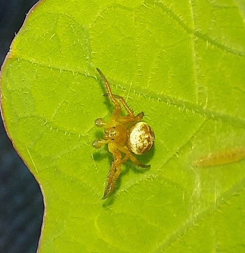
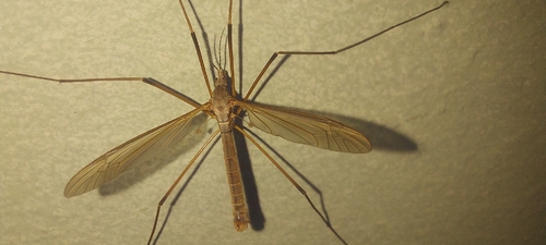
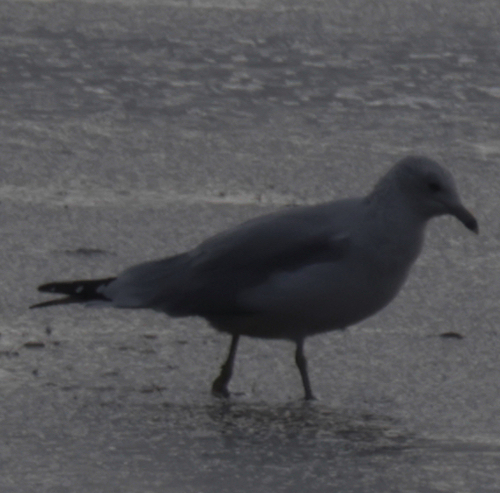
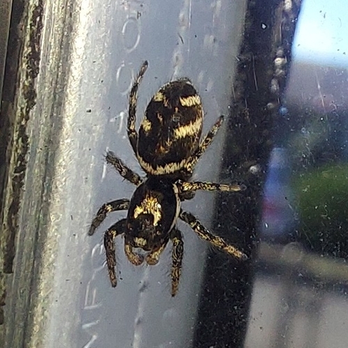
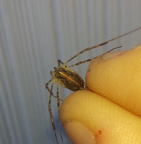
Research-grade observations from iNaturalist (within ~15 mi).
Nearest stream gauge
Events
Gallery
Sources
- • Wikipedia
- • US Census Bureau (ACS 5-year estimates)
- • NOAA National Weather Service
- • Wikidata
- • USGS Earthquake Catalog (global feed)
- • NCES via Urban Institute Education Data Portal
- • GBIF (Global Biodiversity Information Facility)
- • iNaturalist
- • CDC PLACES
- • Open-Meteo / sunrise-sunset.org
- • Wikipedia Pageviews API
- • Open Library
- • NASA EONET