Browse / United States / Washington / Sequim
Sequim
Washingtoncity

Sequim
Total population
8,161
Median home value
$408,700
Bachelor's+
Median income
$59,707
Demographic figures from US Census Bureau · ACS 5-year estimates. Overview below cites Wikipedia and may reference a different year.
City facts
Facts from Wikidata (CC0).
Overview
Sequim is a city in Clallam County, Washington, United States. It is located on the north side of the Olympic Peninsula between the Dungeness River and Sequim Bay. The city is south of the Strait of Juan de Fuca and north of the Olympic Mountains. The population was 8,024 as of the 2020 census; the estimated population in 2023 was 8,203. Sequim is connected to nearby Port Angeles by U.S. Route 101, which runs south of the city's downtown.
Read more on WikipediaHistory & geography
History
Fossils discovered in the late 1970s – at a dig near Sequim known as the Manis Mastodon site, by Carl Gustafson, an archaeologist at Washington State University – included a mastodon bone with an embedded bone point, evidencing the presence of hunters in the area about 14,000 years ago. According to Michael R. Waters, an archaeologist at Texas A&M University, this is the first hunting weapon found that dates to the pre-Clovis period. The S'Klallam tribe had inhabited the region prior to the arrival of the first Europeans. S'Klallam means "the strong people". The band of S'Klallam Indians disbanded into their own individual federally recognized tribes in the early 1900s. The local tribe is the Jamestown S'Klallam tribe, named after one of their early leaders, Lord James Balch. According to other tales, the town Sequim in S'Klallam means "a place for going to shoot", which represents the abundance of game and wildlife of the area. Archeological excavation during construction of the U.S. Route 101 bypass in the 1990s found artifacts that were dated between 6000 to 8000 years before present. Manuel Quimper and George Vancouver explored the region's coast in the 1790s. The first European settlers arrived in the Dungeness Valley in the 1850s, settling nearby Dungeness, Washington. While the lands along the river became fertile farmlands, the remainder of the area remained arid prairie, known as "the desert". Irrigation canals first brought water to the prairie in the 1890s, allowing the expansion of farmlands. Sequim was officially incorporated on October 31, 1913. For many decades small farms, mostly dairy farms, dotted the area around the small town. Near the end of World War I, Sequim became a stop for a railway that passed through from Port Angeles to Port…
Geography
According to the United States Census Bureau, the city has a total area of , of which is land and is water. The forests around Sequim are dominated by Douglas-fir and western red cedar. Other trees growing in the area include black cottonwood, red alder, bigleaf maple, Pacific madrone, lodgepole pine and Garry oak, all of which can grow to a significant size. Historically, much of the area was an open, oak-studded prairie, supported by somewhat excessively-drained gravelly and sandy loam soil; agriculture and development of the Dungeness valley have changed this ecosystem. Most soils under Sequim have been placed in a series that is named after the city. This "Sequim series" is one of the few Mollisols in western Washington and its high base saturation, a characteristic of the Mollisol order, is attributed to the minimal leaching of bases caused by low annual rainfall. Sequim is home to a herd of Roosevelt elk. The herd occasionally crosses U.S. Route 101 just to the southeast of the town. Radio collars on some members of the herd trigger warning lights for motorists. Sequim experiences a warm-summer Mediterranean climate (Köppen climate classification Csb), sometimes classified as an oceanic climate owing to the relatively cool temperatures. Sequim is in the rain shadow of the Olympic Mountains, so annual precipitation is the lowest in the western portion of the state at only 16 inches. Winters are mostly mild with very little snowfall. Many years there is no snow at all. The highest temperature recorded in Sequim was on July 16, 1941, and the lowest on January 19, 1935 and February 4, 1989.
Excerpted from the corresponding Wikipedia article (CC BY-SA).
Demographics & economy
Race & ethnicity
Source: US Census Bureau — American Community Survey, 5-year estimates.
Geography
Coordinates & boundaries from the US Census TIGER/Line shapefiles.
Climate
10-year averages from ERA5 reanalysis (Open-Meteo).
Current forecast
Forecast for Sequim, WA from NOAA NWS API.
Air quality
Industrial & pollution facilities
Natural hazard risk
Health (adults)
Age-adjusted prevalence estimates from CDC PLACES (latest release).
Walkability
Amenities nearby
Wildlife & biodiversity
Most-observed species
- Song SparrowMelospiza melodia (A.Wilson, 1810) · Aves25,106
- American RobinTurdus migratorius Linnaeus, 1766 · Aves24,709
- American CrowCorvus brachyrhynchos C.L.Brehm, 1822 · Aves22,821
- Anna's HummingbirdCalypte anna (R.Lesson, 1829) · Aves22,377
- Spotted TowheePipilo maculatus Swainson, 1827 · Aves21,888
- House FinchHaemorhous mexicanus (P.L.Statius Müller, 1776) · Aves21,428
- Dark-eyed JuncoJunco hyemalis (Linnaeus, 1758) · Aves20,833
- White-crowned SparrowZonotrichia leucophrys (J.R.Forster, 1772) · Aves17,731
Citizen-science & research observations from the Global Biodiversity Information Facility (GBIF).
Schools
Largest nearby schools
- Sequim Senior HighHigh · Sequim · 794 students · 19.9:1 ratio
- Sequim Middle SchoolMiddle · Sequim · 568 students · 18.9:1 ratio
- Helen Haller Elementary SchoolElementary · Sequim · 541 students · 15:1 ratio
- Greywolf Elementary SchoolElementary · Sequim · 524 students · 15.9:1 ratio
- Olympic Peninsula AcademyOther · Sequim · 94 students · 11.8:1 ratio
- Dungeness Virtual SchoolOther · Sequim · 81 students
Public K–12 schools within ~10 mi from Urban Institute Education Data Portal (NCES Common Core of Data, 2022).
Earthquake history
Most recent
- M 2.56 — 2026-09-122 km E of Mount Vernon, Washington
- M 2.51 — 2026-08-0911 km SSW of River Road, Washington
- M 3.8 — 2026-07-022 km E of Oak Harbor, Washington
- M 2.87 — 2026-06-082 km ESE of Oak Harbor, Washington
- M 2.56 — 2026-05-297 km ENE of Ferndale, Washington
- M 2.84 — 2026-05-274 km W of Wauna, Washington
Events from the USGS Earthquake Catalog (global) (FDSN Event Web Service).
Photos
Sights & places nearby
Notable people from here


People born within ~10 km, from Wikidata (CC0). Click any name for their Wikipedia article.
Nearby places in Washington
- Port Hadlock-Irondale14 mi away
- Port Townsend14.2 mi away · pop. 10,438
- Whidbey Island Station27.6 mi away
- Port Gamble Tribal Community29.1 mi away
- Friday Harbor32 mi away
- Anacortes35.7 mi away
- Northwest Stanwood36.4 mi away · pop. 72
- Roche Harbor36.9 mi away
- Woodway37.9 mi away
- Mukilteo38 mi away · pop. 21,538
- Picnic Point38.5 mi away · pop. 10,261
- Rocky Point38.5 mi away
Geography & sun
Elevation, sunrise/sunset and daylight from Open-Meteo. Solar climatology from NASA POWER.
Nearby airports
Public attention
Pageview totals from the Wikimedia Pageviews API.
Books about Sequim


Search results from Open Library.
Recent natural events nearby
- Wildfire Electric, Whatcom, WashingtonWildfires · 2026-08-22 · 86 mi
- Wildfire KING, Kittitas, WashingtonWildfires · 2026-08-19 · 95 mi
- Wildfire Thunder Creek, Skagit, WashingtonWildfires · 2026-08-22 · 100 mi
- Wildfire GOAT, Kittitas, WashingtonWildfires · 2026-08-22 · 104 mi
- Wildfire SISI, Chelan, WashingtonWildfires · 2026-08-14 · 106 mi
- Wildfire RANSIER, Yakima, WashingtonWildfires · 2026-07-26 · 161 mi
- Wildfire PEARL HILL, Douglas, WashingtonWildfires · 2026-07-25 · 161 mi
- Wildfire SINLAHEKIN, Okanogan, WashingtonWildfires · 2026-07-26 · 162 mi
Wildfires, storms and other events from NASA EONET (last 12 months, within 250 mi).
Ground air-quality sensors
Recently spotted species
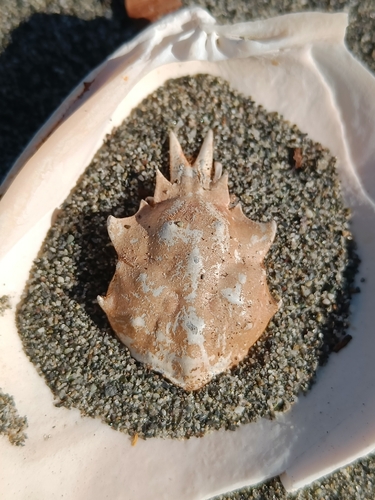
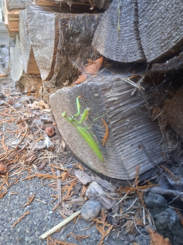
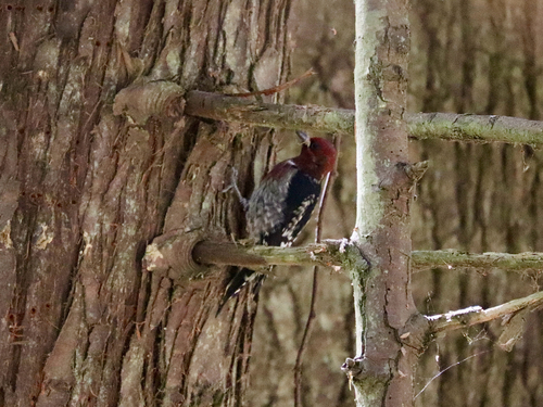
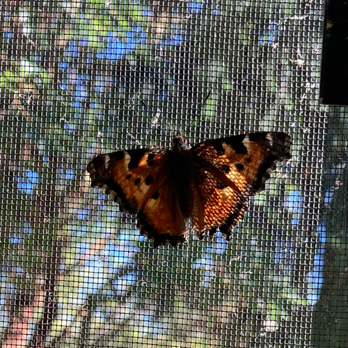
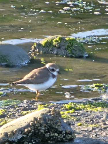
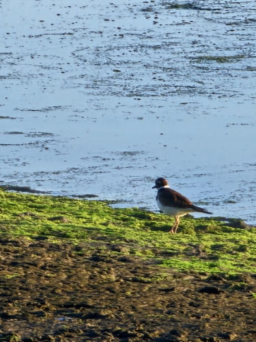
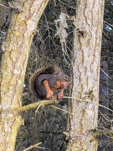
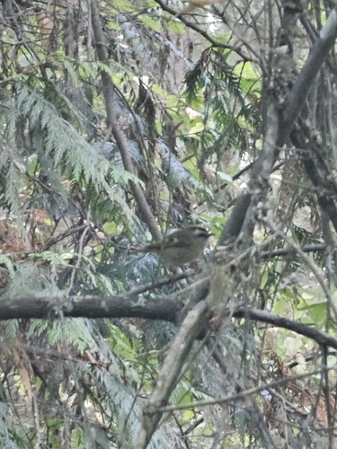
Research-grade observations from iNaturalist (within ~15 mi).
Nearest stream gauge
Live readings from USGS NWIS · measured 2026-09-19 12:15 UTC.
Events
Gallery
Sources
- • Wikipedia
- • US Census Bureau (ACS 5-year estimates)
- • Open-Meteo (ERA5 reanalysis)
- • NOAA National Weather Service
- • Wikidata
- • USGS Earthquake Catalog (global feed)
- • USGS NWIS (water data)
- • NCES via Urban Institute Education Data Portal
- • GBIF (Global Biodiversity Information Facility)
- • iNaturalist
- • CDC PLACES
- • Open-Meteo / sunrise-sunset.org
- • Wikipedia Pageviews API
- • Open Library
- • NASA EONET