Browse / United States / Washington / Anacortes
Anacortes
Washingtoncity

Anacortes
Total population
17,966
Founded
1891
Demographic figures from US Census Bureau · ACS 5-year estimates. Overview below cites Wikipedia and may reference a different year.
City facts
Facts from Wikidata (CC0).
Overview
Anacortes is a city in Skagit County, Washington, United States. The name "Anacortes" is an adaptation of the name of Anne Curtis Bowman, who was the wife of early Fidalgo Island settler Amos Bowman. Anacortes' population was 17,637 at the time of the 2020 census. It is one of two principal cities of and included in the Mount Vernon-Anacortes Metropolitan Statistical Area.
Read more on WikipediaHistory & geography
History
Anacortes is within the historical territory of the Samish people. Anacortes was officially incorporated on May 19, 1891. In 1877, railroad surveyor and town founder Amos Bowman moved his family to the northern tip of Fidalgo Island. Bowman began promoting the area as an obvious terminus for the Northern Pacific Railway as it was built through the north Cascades to the Pacific. Bowman established the town's first newspaper, The Northwest Enterprise, to promote his vision of the New York of the West. Seattle and Northern Company began building a rail line from the town in 1888. Real estate and development boomed from 1888 to 1890 as a result of the railroad rumors, and the Oregon Improvement Company posted $15 million in bonds to develop the town. In 1891, the real estate bubble burst. Speculators lost money and the Oregon Improvement Company could no longer afford to complete tracks over the Cascades. The town failed to become the railroad terminus Bowman had envisioned. A second newspaper, the Anacortes American was established in 1890, and digitized copies of its publication from inception through December 2000 are searchable at the Washington State Library's archives. In 1960, the paper's masthead showed it was an affiliate member of the National Editorial Association. After the 1891 bust, the town became prominent for its fishing tradition, thriving canning industry, and timber mills.
Geography
Anacortes is on Fidalgo Island. According to the United States Census Bureau, the city has a total area of , of which is land and is water. The area around the city includes cliffs and bluffs with bedrock deposits that date to 160 million years before present. The landforms were shaped by a major glaciation event 15,000 years before present. According to the Köppen climate classification system, Anacortes has a warm-summer Mediterranean climate (Csb) with cool, rainy winters and warm, dry summers.
Excerpted from the corresponding Wikipedia article (CC BY-SA).
Demographics & economy
Geography
Coordinates & boundaries from the US Census TIGER/Line shapefiles.
Climate
Current forecast
Forecast for Anacortes, WA from NOAA NWS API.
Air quality
Industrial & pollution facilities
Natural hazard risk
Health (adults)
Walkability
Amenities nearby
Wildlife & biodiversity
Schools
Earthquake history
Photos
Sights & places nearby
Notable people from here


People born within ~10 km, from Wikidata (CC0). Click any name for their Wikipedia article.
Nearby places in Washington
- Bay View7.4 mi away
- Whidbey Island Station9.7 mi away · pop. 2,027
- Burlington13.6 mi away
- Sedro-Woolley18 mi away
- Friday Harbor18.3 mi away
- Northwest Stanwood20.1 mi away · pop. 72
- Marietta-Alderwood20.9 mi away
- Roche Harbor24.6 mi away
- Ferndale25.2 mi away
- Port Townsend26.5 mi away · pop. 10,438
- Birch Bay30.5 mi away
- Lake Cavanaugh30.5 mi away
Geography & sun
Elevation, sunrise/sunset and daylight from Open-Meteo. Solar climatology from NASA POWER.
Nearby airports
Public attention
Pageview totals from the Wikimedia Pageviews API.
Books about Anacortes


Search results from Open Library.
Recent natural events nearby
- Wildfire Electric, Whatcom, WashingtonWildfires · 2026-08-22 · 56 mi
- Wildfire Thunder Creek, Skagit, WashingtonWildfires · 2026-08-22 · 73 mi
- Wildfire SISI, Chelan, WashingtonWildfires · 2026-08-14 · 83 mi
- Wildfire KING, Kittitas, WashingtonWildfires · 2026-08-19 · 95 mi
- Wildfire GOAT, Kittitas, WashingtonWildfires · 2026-08-22 · 102 mi
- Wildfire Colwash, Yakima, WashingtonWildfires · 2026-08-22 · 196 mi
- Wildfire MITRE ROCK, Stevens, WashingtonWildfires · 2026-08-01 · 202 mi
- Wildfire HUDSPETH, Stevens, WashingtonWildfires · 2026-08-01 · 207 mi
Wildfires, storms and other events from NASA EONET (last 12 months, within 250 mi).
Ground air-quality sensors
Recently spotted species
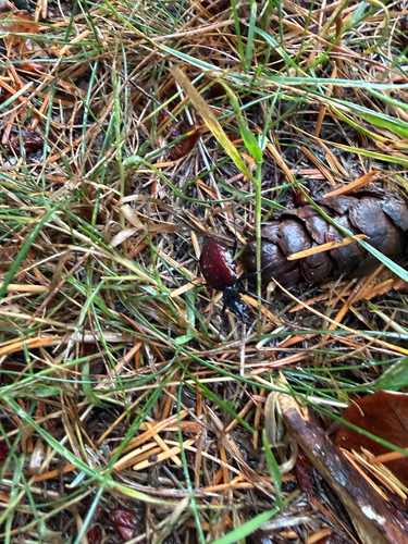
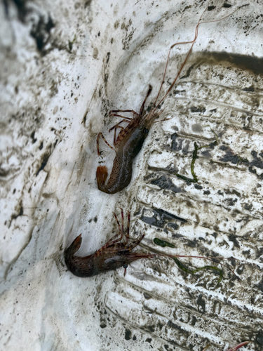
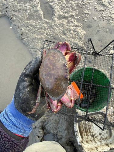
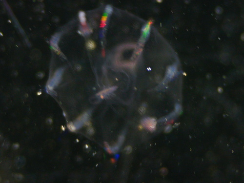
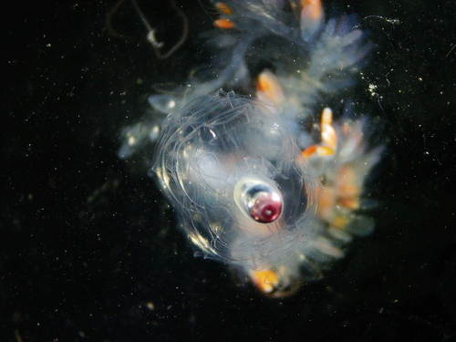
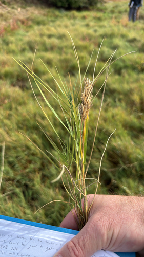
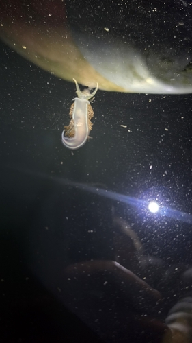
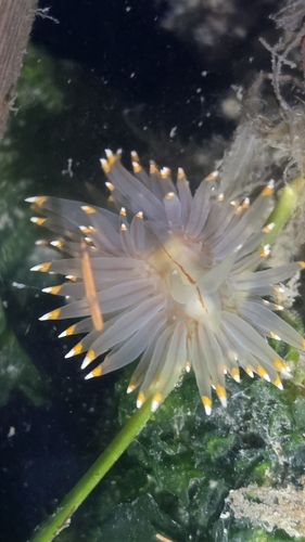
Research-grade observations from iNaturalist (within ~15 mi).
Nearest stream gauge
Live readings from USGS NWIS · measured 2026-09-25 18:45 UTC.
Events
Gallery
Sources
- • Wikipedia
- • NOAA National Weather Service
- • Wikidata
- • USGS NWIS (water data)
- • iNaturalist
- • Open-Elevation
- • Open-Meteo / sunrise-sunset.org
- • Wikipedia Pageviews API
- • Open Library
- • NASA EONET