Browse / United States / Washington / Shelton
Shelton
Washingtoncity

Shelton
Total population
10,612
Median home value
$345,700
Bachelor's+
Median income
$69,598
Founded
1889
Demographic figures from US Census Bureau · ACS 5-year estimates. Overview below cites Wikipedia and may reference a different year.
City facts
Facts from Wikidata (CC0).
Overview
Shelton is a city in and the county seat of Mason County, Washington, United States. Shelton is the westernmost city on Puget Sound. The population was 10,371 at the 2020 census. Shelton has a council–manager form of government and was the last city in Washington to use a mayor–commission form of government.
Read more on WikipediaHistory & geography
History
Shelton was officially incorporated in 1890. The city was named after David Shelton, a delegate to the territorial legislature. The land was previously called "Cota" and was inhabited and managed by the Squaxin Island Tribe, or "People of the Waters", who had inhabited the land for centuries before contact with white settlers. The land was ceded, along with 4,000 sq. miles of Indigenous land, on December 26, 1854, with the passage of the Treaty of Medicine Creek. After the passage of the treaty, David Shelton and his wife, Frances Shelton, each took a claim of land enabled by the Donation Land Claim Act totaling 640 acres in what would eventually be incorporated as Shelton. Shelton was once served by a small fleet of steamboats which was part of the Puget Sound Mosquito Fleet. These boats included the Old Settler, Irene, Willie, City of Shelton, Marian, Clara Brown, and S.G. Simpson. The economy was built around logging, farming, dairying and ranching as well as oyster cultivation. Shelton also identified itself as "Christmastown, USA" due to the area's cultivation of Christmas trees; the name was later revived for an annual festival. The Ridge Motorsports Park opened in 2012, and has hosted MotoAmerica and Trans-Am Series races. File:Shelton davidshelton 1890.jpg|David Shelton, 1812–1897 File:Shelton WA sawmills.JPG|Shelton sawmills File:Simpson lumber-Shelton Washington.jpg|Simpson Timber Company mill in Shelton, on the Oakland Bay, viewed from the southeast. File:RPPC 10 ft fir log Shelton Wn.jpg|Loggers with a ten-foot fir log in Shelton, Washington in the early 20th century
Geography
According to the United States Census Bureau, the city has a total area of , of which is land and is water. With extremely precipitous rainfall in winter and dry summer of less than 33 mm in the driest month (less than 1/3 of the rainy season), Shelton has a warm summer Mediterranean climate (Köppen: Csb) with cold winters, similar to the larger cities of the Pacific Northwest.
Excerpted from the corresponding Wikipedia article (CC BY-SA).
Demographics & economy
Race & ethnicity
Source: US Census Bureau — American Community Survey, 5-year estimates.
Geography
Coordinates & boundaries from the US Census TIGER/Line shapefiles.
Climate
Current forecast
Forecast for Shelton, WA from NOAA NWS API.
Air quality
Industrial & pollution facilities
Natural hazard risk
Health (adults)
Age-adjusted prevalence estimates from CDC PLACES (latest release).
Walkability
Amenities nearby
Wildlife & biodiversity
Most-observed species
- Song SparrowMelospiza melodia (A.Wilson, 1810) · Aves8,839
- American RobinTurdus migratorius Linnaeus, 1766 · Aves8,166
- Spotted TowheePipilo maculatus Swainson, 1827 · Aves7,751
- Dark-eyed JuncoJunco hyemalis (Linnaeus, 1758) · Aves7,126
- Steller's JayCyanocitta stelleri (Gmelin, 1788) · Aves5,638
- Chestnut-backed ChickadeePoecile rufescens (J.K.Townsend, 1837) · Aves5,540
- American CrowCorvus brachyrhynchos C.L.Brehm, 1822 · Aves5,477
- Black-capped ChickadeePoecile atricapillus (Linnaeus, 1766) · Aves5,049
Citizen-science & research observations from the Global Biodiversity Information Facility (GBIF).
Schools
Earthquake history
Most recent
- M 2.51 — 2026-08-0911 km SSW of River Road, Washington
- M 2.84 — 2026-05-274 km W of Wauna, Washington
- M 2.52 — 2026-03-177 km SE of Mineral, Washington
- M 2.86 — 2026-03-112 km W of Home, Washington
- M 2.6 — 2026-01-251 km ENE of Enetai, Washington
- M 3.0100000000000002 — 2026-01-222 km NNW of Ames Lake, Washington
Events from the USGS Earthquake Catalog (global) (FDSN Event Web Service).
Photos
Sights & places nearby
Notable people from here


People born within ~10 km, from Wikidata (CC0). Click any name for their Wikipedia article.
Nearby places in Washington
- Home15.5 mi away · pop. 1,665
- Tanglewilde19.3 mi away
- Anderson Island20.7 mi away
- Fox Island22 mi away · pop. 3,414
- Raft Island22.1 mi away
- Ketron Island22.8 mi away
- Nisqually Indian Community24.1 mi away · pop. 628
- Steilacoom24.6 mi away · pop. 6,686
- Wollochet25.4 mi away
- Purdy26.7 mi away
- Fort Lewis26.9 mi away
- Fircrest28 mi away
Geography & sun
Elevation, sunrise/sunset and daylight from Open-Meteo. Solar climatology from NASA POWER.
Nearby airports
Public attention
Pageview totals from the Wikimedia Pageviews API.
Books about Shelton
Search results from Open Library.
Recent natural events nearby
- Wildfire KING, Kittitas, WashingtonWildfires · 2026-08-19 · 89 mi
- Wildfire GOAT, Kittitas, WashingtonWildfires · 2026-08-22 · 98 mi
- Wildfire Electric, Whatcom, WashingtonWildfires · 2026-08-22 · 126 mi
- Wildfire SISI, Chelan, WashingtonWildfires · 2026-08-14 · 131 mi
- Wildfire Thunder Creek, Skagit, WashingtonWildfires · 2026-08-22 · 133 mi
- Wildfire Colwash, Yakima, WashingtonWildfires · 2026-08-22 · 156 mi
- Wildfire Austin Non-Stat, Clackamas, OregonWildfires · 2026-08-12 · 161 mi
- Wildfire AUSTIN, Clackamas, OregonWildfires · 2026-08-09 · 162 mi
Wildfires, storms and other events from NASA EONET (last 12 months, within 250 mi).
Ground air-quality sensors
Recently spotted species
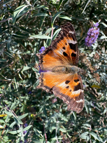
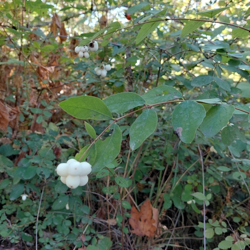
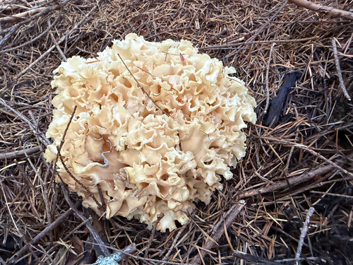
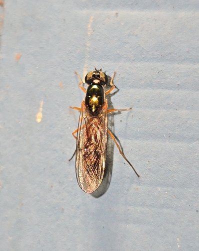
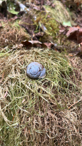
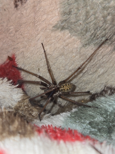
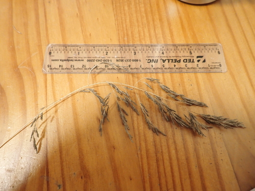
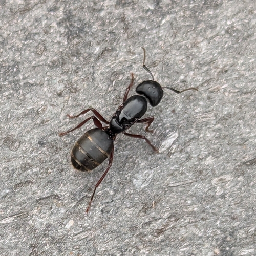
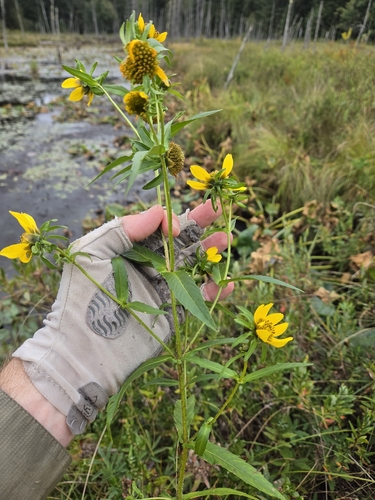
Research-grade observations from iNaturalist (within ~15 mi).
Nearest stream gauge
Live readings from USGS NWIS · measured 2026-09-18 09:00 UTC.
Events
Gallery
Sources
- • Wikipedia
- • US Census Bureau (ACS 5-year estimates)
- • NOAA National Weather Service
- • Wikidata
- • USGS Earthquake Catalog (global feed)
- • USGS NWIS (water data)
- • GBIF (Global Biodiversity Information Facility)
- • iNaturalist
- • CDC PLACES
- • Open-Meteo / sunrise-sunset.org
- • Wikipedia Pageviews API
- • Open Library
- • NASA EONET