Browse / United States / Washington / Spanaway
Spanaway
WashingtonCDP

Spanaway
Total population
34,019
Median home value
$445,700
Bachelor's+
Median income
$98,251
Demographic figures from US Census Bureau · ACS 5-year estimates. Overview below cites Wikipedia and may reference a different year.
City facts
Facts from Wikidata (CC0).
Overview
Spanaway is a census-designated place (CDP) in Pierce County, Washington, United States. The population was 35,476 at the 2020 census, and was estimated at 34,322 in 2023. Spanaway is an unincorporated area near Tacoma, and is often identified together with the more urban, less wealthy Parkland.
Read more on WikipediaHistory & geography
History
The Hudson's Bay Company, headquartered at Fort Nisqually, had control of this region until 1863. Company maps and journals show the company's subsidiary, the Pugets Sound Agricultural Company, raised cattle, grain, and sheep at "Spanueh Station" on the south and east shores of "Spanueh Lake." Spanueh is the Hudson Bay Company's spelling of the native Lushootseed spadue, which means "dug roots" referring to an area where camas and other edible roots can be found. Lushootseed underwent a loss of nasal consonants in the 1800s, so "Spanueh" simply transcribes an older pronunciation of what is now "Spadue". The first white settler to take a donation claim by the lake, Henry de la Bushalier, tried to rename the lake after himself. That faded away with his death one year later. In 1890 the area was renamed "Lake Park" as a planned community by the Lake Park Land, Railway and Improvement Company, which bought all the nearby land east of the lake and built a rail line to its "recreation mecca" on the shore of "Spanaway Lake." When Mount Rainier National Park was established in 1899, tourists would take the train to its terminus in Lake Park and from there make the two-day journey to Mount Rainier, making Spanaway the original "gateway" to Mount Rainier. The journey was made by stagecoach, with an overnight stop in Eatonville; the route was in operation as early as 1893. Although the U.S. Board on Geographic Names recognized the community of "Lake Park" in 1897, it had to very belatedly reverse its decision in 1970 to accept common usage: Spanaway (Spanueh). In the 21st century, several attempts were made to incorporate Spanaway and neighboring communities into a city.
Geography
According to the United States Census Bureau, the CDP has a total area of , of which is land and (4.36%) is water.
Excerpted from the corresponding Wikipedia article (CC BY-SA).
Demographics & economy
Race & ethnicity
Source: US Census Bureau — American Community Survey, 5-year estimates.
Geography
Coordinates & boundaries from the US Census TIGER/Line shapefiles.
Climate
Current forecast
Forecast for Spanaway, WA from NOAA NWS API.
Air quality
Industrial & pollution facilities
Natural hazard risk
Health (adults)
Age-adjusted prevalence estimates from CDC PLACES (latest release).
Walkability
Amenities nearby
Wildlife & biodiversity
Schools
Earthquake history
Photos
Sights & places nearby
Notable people from here


People born within ~10 km, from Wikidata (CC0). Click any name for their Wikipedia article.
Nearby places in Washington
Geography & sun
Elevation, sunrise/sunset and daylight from Open-Meteo. Solar climatology from NASA POWER.
Nearby airports
Public attention
Pageview totals from the Wikimedia Pageviews API.
Books about Spanaway

Search results from Open Library.
Recent natural events nearby
- Wildfire KING, Kittitas, WashingtonWildfires · 2026-08-19 · 60 mi
- Wildfire GOAT, Kittitas, WashingtonWildfires · 2026-08-22 · 69 mi
- Wildfire RANSIER, Yakima, WashingtonWildfires · 2026-07-26 · 94 mi
- Wildfire SISI, Chelan, WashingtonWildfires · 2026-08-14 · 114 mi
- Wildfire Electric, Whatcom, WashingtonWildfires · 2026-08-22 · 117 mi
- Wildfire Thunder Creek, Skagit, WashingtonWildfires · 2026-08-22 · 119 mi
- Wildfire Colwash, Yakima, WashingtonWildfires · 2026-08-22 · 123 mi
- Wildfire Austin Non-Stat, Clackamas, OregonWildfires · 2026-08-12 · 145 mi
Wildfires, storms and other events from NASA EONET (last 12 months, within 250 mi).
Ground air-quality sensors
Recently spotted species
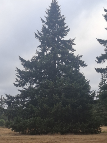
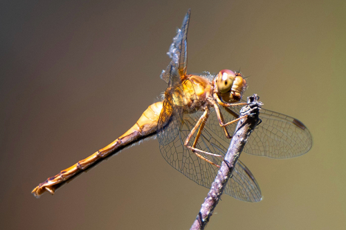
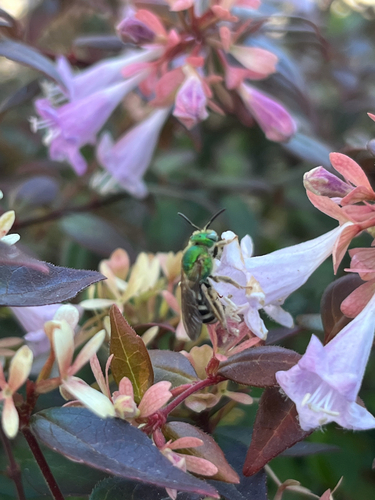
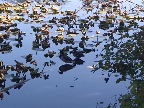
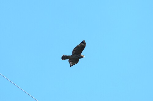
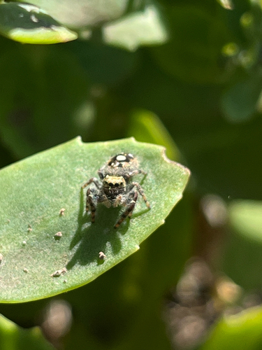
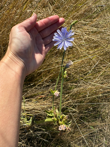
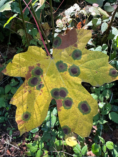
Research-grade observations from iNaturalist (within ~15 mi).
Nearest stream gauge
Events
Gallery
Sources
- • Wikipedia
- • US Census Bureau (ACS 5-year estimates)
- • NOAA National Weather Service
- • Wikidata
- • iNaturalist
- • CDC PLACES
- • Open-Meteo / sunrise-sunset.org
- • Wikipedia Pageviews API
- • Open Library
- • NASA EONET