Browse / United States / Washington / Suquamish
Suquamish
WashingtonCDP

Suquamish
Total population
4,084
Median home value
$456,100
Bachelor's+
Median income
$86,224
Demographic figures from US Census Bureau · ACS 5-year estimates. Overview below cites Wikipedia and may reference a different year.
City facts
Facts from Wikidata (CC0).
Overview
Suquamish is a census-designated place (CDP) in Kitsap County, Washington, United States. The population was 4,266 at the 2020 census. Comprising the Port Madison Indian Reservation, it is the burial site of Chief Seattle and was the site of the Suquamish tribe winter longhouse dxʷsəq’ʷəb, also known as the Old Man House. The region also hosts the Suquamish Museum.
Read more on WikipediaHistory & geography
History
The Suquamish people have lived in the Puget Sound, including the area around the current town of Suquamish, Washington, for thousands of years. When Europeans began moving to the Americas, diseases spread to the Suquamish and killed many people. In 1855, members of the Suquamish Tribe signed the Treaty of Point Elliott, which created the Port Madison Reservation. Its land included (the place of the clear salt water), a winter village around the Old Man House. The longhouse's residents had included Chief Seattle and Chief Kitsap. When Chief Seattle died in 1866, he was buried in a cemetery, now called the Suquamish Cemetery, near the village. After Chief Seattle died, the U.S. Indian Agent for the Port Madison Reservation, William DeShaw, burned down the longhouse. His goal was to force the 600-800 Suquamish residents of the area to leave and change their living style, moving to single-family houses in other areas of the reservation. Most families remained at . After the Dawes Act was passed in 1887, the U.S. government used more excuses for taking reservation land from tribal members to sell to non-native developers. Through sales and seizures, pieces of the Port Madison Reservation land began to move to non-native ownership. Many Suquamish remained at in spite of the U.S. government's efforts to disperse them. A one-acre park around the site of the longhouse, or the Old Man House, was returned to the Suquamish Tribe in 2004. In 2009, the Suquamish Tribe built the House of Awakened Culture as their first traditional communal space since 1870, when the longhouse was burned. The building is used as a ceremonial, governmental, research, and education space.
Geography
Suquamish is located in northern Kitsap County. The village of Suquamish is in the northeast part of the CDP, and Washington State Route 305 crosses the southern part, leading southeast across the Agate Pass Bridge to Bainbridge Island and west to Poulsbo. According to the United States Census Bureau, the Suquamish CDP has a total area of , of which are land and , or 10.21%, are water.
Excerpted from the corresponding Wikipedia article (CC BY-SA).
Demographics & economy
Race & ethnicity
Source: US Census Bureau — American Community Survey, 5-year estimates.
Geography
Coordinates & boundaries from the US Census TIGER/Line shapefiles.
Climate
Current forecast
Forecast for Suquamish, WA from NOAA NWS API.
Air quality
Industrial & pollution facilities
Natural hazard risk
Health (adults)
Age-adjusted prevalence estimates from CDC PLACES (latest release).
Walkability
Amenities nearby
Wildlife & biodiversity
Most-observed species
- American CrowCorvus brachyrhynchos C.L.Brehm, 1822 · Aves92,936
- Dark-eyed JuncoJunco hyemalis (Linnaeus, 1758) · Aves73,918
- Song SparrowMelospiza melodia (A.Wilson, 1810) · Aves69,630
- Black-capped ChickadeePoecile atricapillus (Linnaeus, 1766) · Aves68,133
- American RobinTurdus migratorius Linnaeus, 1766 · Aves62,819
- Anna's HummingbirdCalypte anna (R.Lesson, 1829) · Aves58,860
- Spotted TowheePipilo maculatus Swainson, 1827 · Aves51,764
- House FinchHaemorhous mexicanus (P.L.Statius Müller, 1776) · Aves48,860
Citizen-science & research observations from the Global Biodiversity Information Facility (GBIF).
Schools
Largest nearby schools
- Central Kitsap High SchoolHigh · SILVERDALE · 1,659 students · 23:1 ratio
- Bainbridge High SchoolHigh · Bainbridge Island · 1,232 students · 20.5:1 ratio
- Olympic High SchoolHigh · BREMERTON · 1,162 students · 22.3:1 ratio
- North Kitsap High SchoolHigh · Poulsbo · 1,063 students · 22.6:1 ratio
- Ridgetop Middle SchoolMiddle · SILVERDALE · 744 students · 21.9:1 ratio
- Poulsbo Middle SchoolMiddle · Poulsbo · 685 students · 20.8:1 ratio
- Central Kitsap Middle SchoolMiddle · SILVERDALE · 633 students · 21.8:1 ratio
- Kingston High SchoolHigh · Kingston · 610 students · 20.3:1 ratio
Public K–12 schools within ~10 mi from Urban Institute Education Data Portal (NCES Common Core of Data, 2022).
Earthquake history
Most recent
- M 2.64 — 2026-10-155 km SW of Wilderness Rim, Washington
- M 2.65 — 2026-10-145 km WSW of Wilderness Rim, Washington
- M 4.15 — 2026-09-296 km WNW of Wauna, Washington
- M 2.56 — 2026-09-122 km ENE of Mount Vernon, Washington
- M 2.51 — 2026-08-0911 km SSW of River Road, Washington
- M 3.8 — 2026-07-022 km E of Oak Harbor, Washington
Events from the USGS Earthquake Catalog (global) (FDSN Event Web Service).
Photos
Sights & places nearby
Notable people from here


People born within ~10 km, from Wikidata (CC0). Click any name for their Wikipedia article.
Nearby places in Washington
- Bainbridge Island6.9 mi away · pop. 24,825
- Port Gamble Tribal Community8.4 mi away
- Rocky Point9.8 mi away
- Woodway10.2 mi away
- Navy Yard City12.4 mi away · pop. 2,672
- Port Orchard13.1 mi away · pop. 17,149
- Lake Forest Park14 mi away
- Mountlake Terrace14.1 mi away · pop. 21,286
- East Port Orchard14.3 mi away
- Gorst14.9 mi away · pop. 550
- Brier15.3 mi away
- Kenmore15.9 mi away · pop. 23,741
Geography & sun
Elevation, sunrise/sunset and daylight from Open-Meteo. Solar climatology from NASA POWER.
Nearby airports
Public attention
Pageview totals from the Wikimedia Pageviews API.
Books about Suquamish
Search results from Open Library.
Recent natural events nearby
- Wildfire KING, Kittitas, WashingtonWildfires · 2026-08-19 · 65 mi
- Wildfire GOAT, Kittitas, WashingtonWildfires · 2026-08-22 · 74 mi
- Wildfire Electric, Whatcom, WashingtonWildfires · 2026-08-22 · 83 mi
- Wildfire Thunder Creek, Skagit, WashingtonWildfires · 2026-08-22 · 92 mi
- Wildfire SISI, Chelan, WashingtonWildfires · 2026-08-14 · 92 mi
- Wildfire RANSIER, Yakima, WashingtonWildfires · 2026-07-26 · 128 mi
- Wildfire PEARL HILL, Douglas, WashingtonWildfires · 2026-07-25 · 139 mi
- Wildfire SINLAHEKIN, Okanogan, WashingtonWildfires · 2026-07-26 · 149 mi
Wildfires, storms and other events from NASA EONET (last 12 months, within 250 mi).
Ground air-quality sensors
Recently spotted species
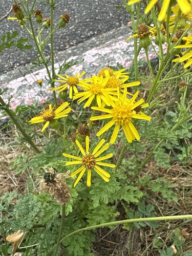
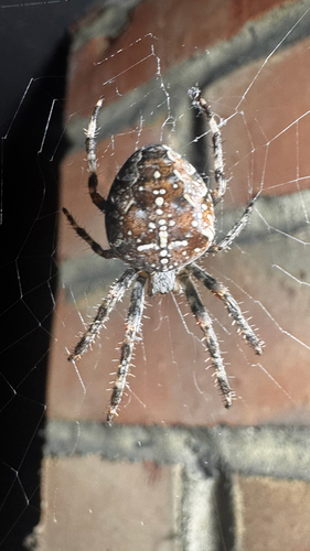
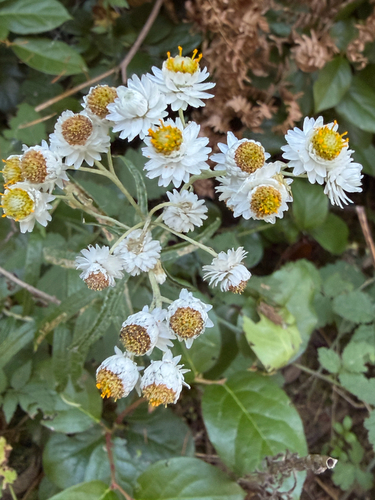
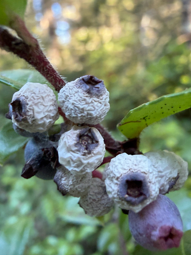
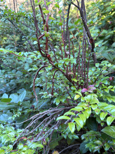
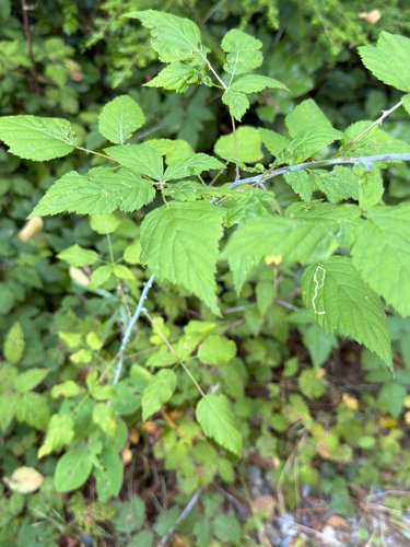
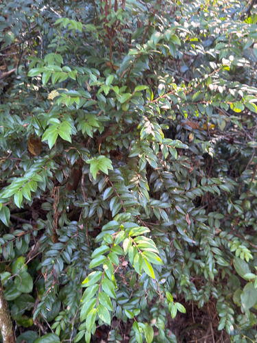
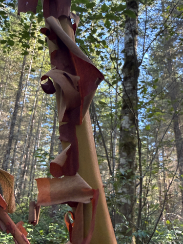
Research-grade observations from iNaturalist (within ~15 mi).
Nearest stream gauge
Events
Gallery
Sources
- • Wikipedia
- • US Census Bureau (ACS 5-year estimates)
- • NOAA National Weather Service
- • Wikidata
- • USGS Earthquake Catalog (global feed)
- • NCES via Urban Institute Education Data Portal
- • GBIF (Global Biodiversity Information Facility)
- • iNaturalist
- • CDC PLACES
- • Open-Meteo / sunrise-sunset.org
- • Wikipedia Pageviews API
- • Open Library
- • NASA EONET