Browse / United States / Wisconsin / Black River Falls
Black River Falls
Wisconsincity

Black River Falls
Total population
3,546
Median home value
$171,800
Bachelor's+
Median income
$66,632
Demographic figures from US Census Bureau · ACS 5-year estimates. Overview below cites Wikipedia and may reference a different year.
City facts
Facts from Wikidata (CC0).
Overview
Black River Falls is a city in Jackson County, Wisconsin, United States, and its county seat. The population was 3,523 at the 2020 census. It is located along the Black River and home to the headquarters of the Ho-Chunk Nation of Wisconsin.
Read more on WikipediaHistory & geography
History
A large monument to Black River Falls' veterans of World War I, World War II, the Korean War, and the Vietnam War, as well as to local Medal of Honor recipient Mitchell Red Cloud, Jr., was erected near the Chamber of Commerce Building at 101 S. 2nd Street. Named the "Field of Honor", the attached plaques provide accounts of the veterans' services. This site is also the start of the four-mile (6.5 km) Foundation Trail, a signed hiking and bike path that circles the eastern part of the community. Black River Falls is the focus of Michael Lesy's book Wisconsin Death Trip (1973), which used photographs and newspaper cuttings to highlight the harshness of life in the community during the late nineteenth century and the effects it had on the psychology of the inhabitants.
Geography
Black River Falls was founded to utilize the waterpower of the Black River. As the area was predominantly forest at the time, its primary use was in operating sawmills. Black River Falls is located at (44.297166, -90.849263). According to the United States Census Bureau, the city has a total area of , of which is land and is water. The city is located on the falls of the Black River at the northeast edge of the Driftless Area, where the river cuts through a region of granite. The falls are covered by a hydroelectric dam, forming the Black River Flowage.
Excerpted from the corresponding Wikipedia article (CC BY-SA).
Demographics & economy
Race & ethnicity
Source: US Census Bureau — American Community Survey, 5-year estimates.
Geography
Coordinates & boundaries from the US Census TIGER/Line shapefiles.
Climate
Current forecast
Forecast for Black River Falls, WI from NOAA NWS API.
Air quality
Industrial & pollution facilities
Natural hazard risk
Health (adults)
Age-adjusted prevalence estimates from CDC PLACES (latest release).
Walkability
Amenities nearby
Wildlife & biodiversity
Most-observed species
- Blue JayCyanocitta cristata (Linnaeus, 1758) · Aves774
- American RobinTurdus migratorius Linnaeus, 1766 · Aves667
- American CrowCorvus brachyrhynchos C.L.Brehm, 1822 · Aves601
- Black-capped ChickadeePoecile atricapillus (Linnaeus, 1766) · Aves594
- American GoldfinchSpinus tristis (Linnaeus, 1758) · Aves497
- Chipping SparrowSpizella passerina (Bechstein, 1798) · Aves489
- Red-eyed VireoVireo olivaceus (Linnaeus, 1766) · Aves485
- Eastern TowheePipilo erythrophthalmus (Linnaeus, 1758) · Aves480
Citizen-science & research observations from the Global Biodiversity Information Facility (GBIF).
Schools
Earthquake history
Events from the USGS Earthquake Catalog (global) (FDSN Event Web Service).
Photos
Sights & places nearby
Notable people from here


People born within ~10 km, from Wikidata (CC0). Click any name for their Wikipedia article.
Nearby places in Wisconsin
- Sand Pillow4.5 mi away
- Mission5.1 mi away · pop. 349
- Cataract14.6 mi away · pop. 138
- Humbird16.2 mi away · pop. 300
- Warrens19.8 mi away
- Fairchild21.9 mi away
- Blair22.7 mi away · pop. 1,254
- Mindoro23.1 mi away · pop. 225
- Tunnel City24.4 mi away
- Tomah27.3 mi away
- Independence28.6 mi away · pop. 1,462
- Wyeville29.4 mi away
Geography & sun
Elevation, sunrise/sunset and daylight from Open-Meteo. Solar climatology from NASA POWER.
Nearby airports
Public attention
Pageview totals from the Wikimedia Pageviews API.
Books about Black River Falls


Search results from Open Library.
Recent natural events nearby
Ground air-quality sensors
Recently spotted species
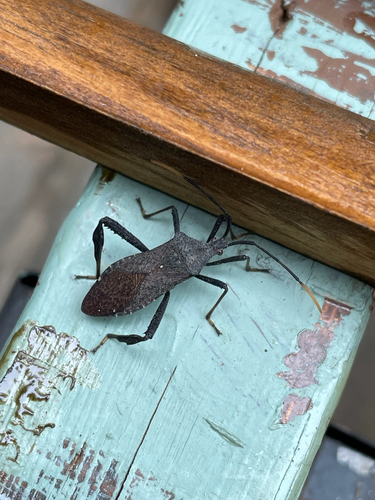
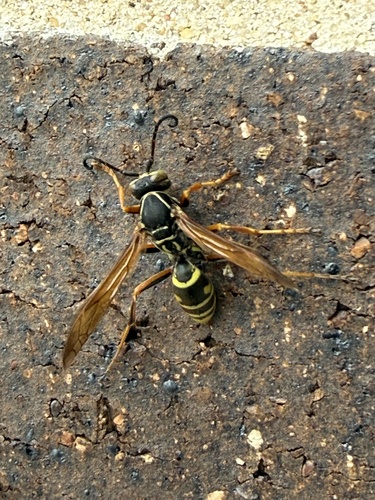
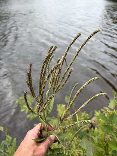
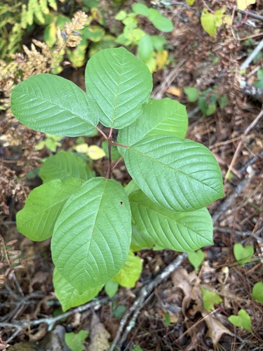
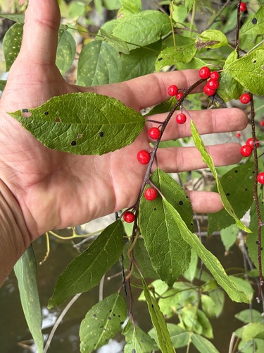
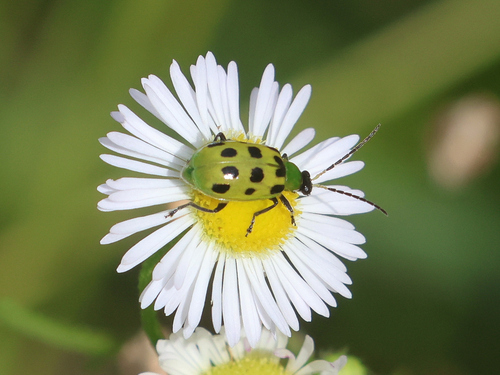
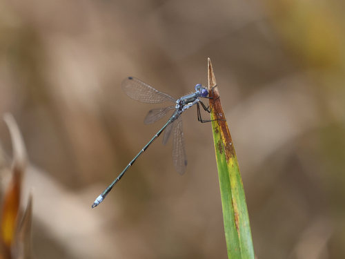
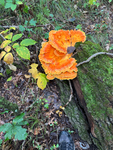
Research-grade observations from iNaturalist (within ~15 mi).
Nearest stream gauge
Events
Gallery
Sources
- • Wikipedia
- • US Census Bureau (ACS 5-year estimates)
- • NOAA National Weather Service
- • Wikidata
- • USGS Earthquake Catalog (global feed)
- • GBIF (Global Biodiversity Information Facility)
- • iNaturalist
- • CDC PLACES
- • Open-Meteo / sunrise-sunset.org
- • Wikipedia Pageviews API
- • Open Library