Browse / United States / Wisconsin / Independence
Independence
Wisconsincity

Independence
Total population
1,462
Median home value
$166,000
Bachelor's+
Median income
$58,000
Air quality index
Demographic figures from US Census Bureau · ACS 5-year estimates. Overview below cites Wikipedia and may reference a different year.
- Freeze Warning · SevereFreeze Warning issued October 16 at 10:51AM CDT until October 17 at 9:00AM CDT by NWS La Crosse WI
Source: NOAA National Weather Service.
City facts
Facts from Wikidata (CC0).
Overview
Independence is a city in Trempealeau County, Wisconsin, United States. The population was 1,498 at the 2020 census. It is located at the confluence of Elk Creek and the Trempealeau River.
Read more on WikipediaHistory & geography
History
Unless otherwise noted, the history below is taken from a local historical album published for the city's centennial in 1976. Independence is in the Town of Burnside, which corresponds with one of the townships created under the Land Ordinance of 1785. Shortly after the naming of Burnside in 1863, settlers from Europe and the Eastern United States began arriving in significant numbers. The city of Independence owes its existence to a railroad and a man named David M. Kelly. Running almost parallel to the Trempealeau River is the Green Bay and Western Railroad, which is part of a line originally intended to run from Green Bay, Wisconsin to Wabasha, Minnesota. Kelly was an enthusiastic promoter of building a depot for the new line in Burnside. After much disagreement and dispute over its location, Green Bay and Lake Pepin (as the company was then known) agreed to build a depot if $5,000 could be raised by the residents to finance construction. The money was raised, and Kelly bought the land for the depot in 1876. He founded a village on the land and named it Independence in honor of the nation's centennial of independence. The village was incorporated in 1885 and became a city in 1942. Independence has outlived the depot that was once at its heart. The line began at Green Bay but eventually reached Winona, Minnesota instead of Wabasha. Passenger service was never very profitable. Under the inexorable pressure of the automobile, passenger service ended in 1949, but freight trains still use the line today.
Geography
According to the United States Census Bureau, the city has a total area of , of which, is land and is water. It is within the Driftless Zone of the Midwest. Just upstream from the intersection between Elk Creek and the Trempealeau is the dam impounding Bugle Lake. The present dam was built in 1935 as part of the Works Progress Administration. It replaced an earlier dam that had been built by a resident named W.S. Newton. It later broke and flooded all of Arcadia, Wisconsin in 2011. Bugle Lake has peaceful canoeing, and a small park covers the island in the lake.
Excerpted from the corresponding Wikipedia article (CC BY-SA).
Demographics & economy
Race & ethnicity
Source: US Census Bureau — American Community Survey, 5-year estimates.
Geography
Coordinates & boundaries from the US Census TIGER/Line shapefiles.
Climate
Current forecast
Forecast for Independence, WI from NOAA NWS API.
Air quality
Current readings from Open-Meteo Air Quality API (Copernicus CAMS European reanalysis).
Industrial & pollution facilities
Natural hazard risk
Health (adults)
Age-adjusted prevalence estimates from CDC PLACES (latest release).
Walkability
Amenities nearby
Wildlife & biodiversity
Most-observed species
- Blue JayCyanocitta cristata (Linnaeus, 1758) · Aves148
- Black-capped ChickadeePoecile atricapillus (Linnaeus, 1766) · Aves118
- American CrowCorvus brachyrhynchos C.L.Brehm, 1822 · Aves106
- White-breasted NuthatchSitta carolinensis Latham, 1790 · Aves103
- American GoldfinchSpinus tristis (Linnaeus, 1758) · Aves100
- Downy WoodpeckerDryobates pubescens (Linnaeus, 1766) · Aves90
- Dark-eyed JuncoJunco hyemalis (Linnaeus, 1758) · Aves90
- Red-bellied WoodpeckerMelanerpes carolinus (Linnaeus, 1758) · Aves86
Citizen-science & research observations from the Global Biodiversity Information Facility (GBIF).
Schools
Largest nearby schools
- Arcadia ElementaryElementary · Arcadia · 529 students · 11.5:1 ratio
- Whitehall Memorial ElementaryElementary · Whitehall · 435 students · 14:1 ratio
- Arcadia HighHigh · Arcadia · 417 students · 15.4:1 ratio
- Whitehall Memorial Junior/Senior HighHigh · Whitehall · 338 students · 12.5:1 ratio
- Arcadia MiddleMiddle · Arcadia · 337 students · 13:1 ratio
- Independence ElementaryElementary · Independence · 193 students · 12.9:1 ratio
- Independence HighHigh · Independence · 144 students · 13.1:1 ratio
- Independence MiddleMiddle · Independence · 95 students · 11.9:1 ratio
Public K–12 schools within ~10 mi from Urban Institute Education Data Portal (NCES Common Core of Data, 2022).
Earthquake history
Events from the USGS Earthquake Catalog (global) (FDSN Event Web Service).
Photos
Sights & places nearby
Notable people from here


People born within ~10 km, from Wikidata (CC0). Click any name for their Wikipedia article.
Nearby places in Wisconsin
- Arcadia5.5 mi away · pop. 3,806
- Blair6.1 mi away · pop. 1,254
- Dodge13.7 mi away · pop. 207
- Eleva18.6 mi away · pop. 747
- Trempealeau21.3 mi away
- Cochrane21.6 mi away · pop. 516
- Holmen24.6 mi away · pop. 11,372
- Alma24.7 mi away · pop. 788
- Mindoro25.5 mi away · pop. 225
- Black River Falls28.6 mi away · pop. 3,546
- Nelson29.5 mi away · pop. 381
- Augusta29.5 mi away · pop. 1,341
Geography & sun
Elevation, sunrise/sunset and daylight from Open-Meteo. Solar climatology from NASA POWER.
Nearby airports
Public attention
Pageview totals from the Wikimedia Pageviews API.
Books about Independence

Search results from Open Library.
Recent natural events nearby
- Wildfire Craig Lake 1, Baraga, MichiganWildfires · 2026-10-08 · 225 mi
Wildfires, storms and other events from NASA EONET (last 12 months, within 250 mi).
Ground air-quality sensors
Recently spotted species
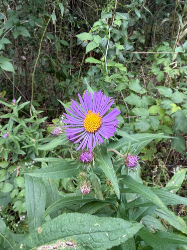
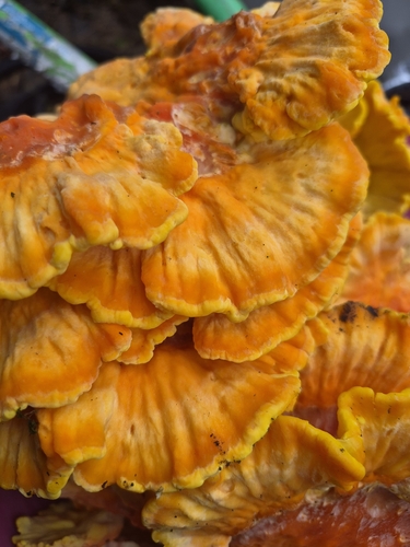
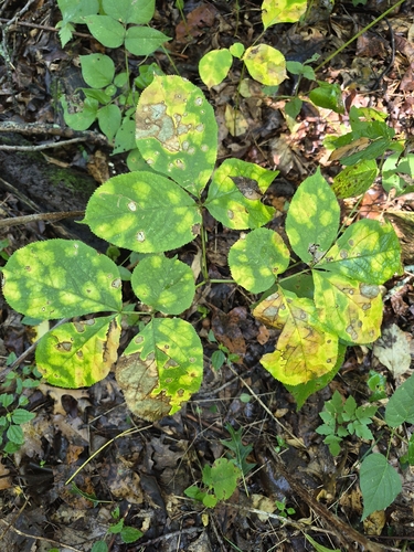
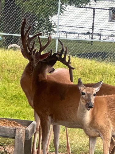
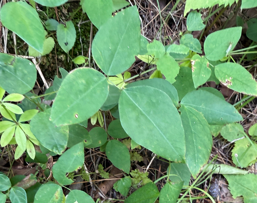
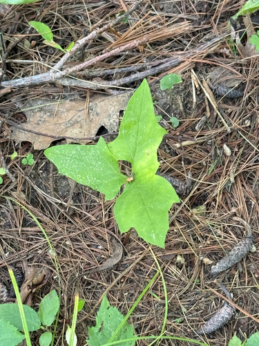
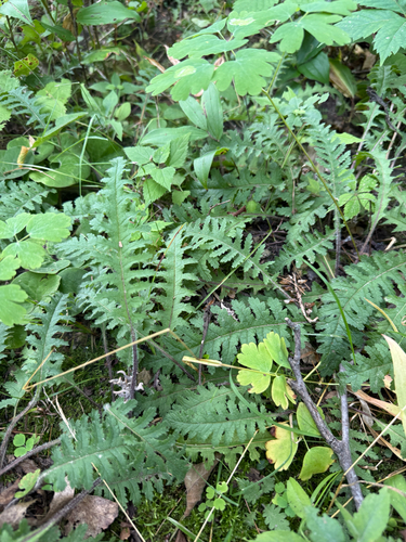
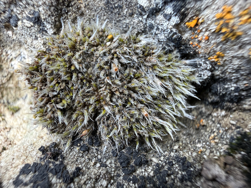
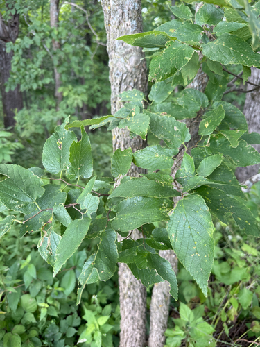
Research-grade observations from iNaturalist (within ~15 mi).
Nearest stream gauge
Events
Gallery
Sources
- • Wikipedia
- • US Census Bureau (ACS 5-year estimates)
- • NOAA National Weather Service
- • Wikidata
- • Open-Meteo Air Quality (CAMS)
- • USGS Earthquake Catalog (global feed)
- • NCES via Urban Institute Education Data Portal
- • GBIF (Global Biodiversity Information Facility)
- • iNaturalist
- • CDC PLACES
- • Open-Meteo / sunrise-sunset.org
- • Wikipedia Pageviews API
- • Open Library
- • NASA EONET