Browse / United States / Wisconsin / Eleva
Eleva
Wisconsinvillage

Eleva
Total population
747
Median home value
$175,400
Bachelor's+
Median income
$65,000
Demographic figures from US Census Bureau · ACS 5-year estimates. Overview below cites Wikipedia and may reference a different year.
City facts
Facts from Wikidata (CC0).
Overview
Eleva is a village within the Town of Albion in Trempealeau County, Wisconsin, United States, situated along the Buffalo River. The population was 670 at the 2010 Census and reached 685 in the 2020 Census.
Read more on WikipediaHistory & geography
History
Before white settlement, Lakota and Ho-Chunk Indians controlled the area that would become Eleva, but Ojibwe territory lay only ten miles north, across the Chippewa River. The first settlers in what would become the town of Albion arrived in 1856. Most settled east of the future Eleva, around what would be called Hamlin, on the stage road from Whitehall to Eau Claire. In these early days some Indians still migrated through in the spring and fall, camping just west of where Eleva would grow. William Moon, one of the first settlers, harvested potatoes that first fall of 1856 - the first harvest in Albion. In following years more settlers arrived, and began growing wheat and corn. The first building in what would become Eleva was constructed in 1863, when Joseph and Elizabeth Cooper built a cabin of tamarack logs near Big Creek. They left when Joseph volunteered in the Union Army, but returned to their cabin after the war. David J. O'dell settled nearby in 1867. # Some say the town was named after a French village by Goddard, who was from France. # Some say it was named for Goddard's daughter Eva, who died young. In 1889 Nathaniel Foster's Fairchild and Mississippi Railroad reached Eleva, following the Buffalo (then Beef) River. Foster added a lumber yard in Eleva and the railroad built a depot in 1890. A few years later Foster's railroad was acquired by the Chicago, St. Paul, Minneapolis and Omaha Railway. In 1890 Henry Ruseling replaced his old stone grist mill with the modern-for-the-time Eleva Roller Mills, powered by water or coal, producing 50 barrels of wheat per day. That year, the town built its own school in town, serving grades one through eight. The town was booming, with two elevators, a cheese factory, a flour and feed mill, a hardware store, a drug…
Geography
Eleva is located at (44.575298, −91.471019). According to the United States Census Bureau, the village has a total area of , of which is land and is water.
Excerpted from the corresponding Wikipedia article (CC BY-SA).
Demographics & economy
Race & ethnicity
Source: US Census Bureau — American Community Survey, 5-year estimates.
Geography
Coordinates & boundaries from the US Census TIGER/Line shapefiles.
Climate
Current forecast
Forecast for Eleva, WI from NOAA NWS API.
Air quality
Industrial & pollution facilities
Natural hazard risk
Health (adults)
Age-adjusted prevalence estimates from CDC PLACES (latest release).
Walkability
Amenities nearby
Wildlife & biodiversity
Most-observed species
- American CrowCorvus brachyrhynchos C.L.Brehm, 1822 · Aves408
- Red-winged BlackbirdAgelaius phoeniceus (Linnaeus, 1766) · Aves260
- American RobinTurdus migratorius Linnaeus, 1766 · Aves247
- Blue JayCyanocitta cristata (Linnaeus, 1758) · Aves244
- Mourning DoveZenaida macroura (Linnaeus, 1758) · Aves190
- Black-capped ChickadeePoecile atricapillus (Linnaeus, 1766) · Aves186
- American GoldfinchSpinus tristis (Linnaeus, 1758) · Aves183
- Northern CardinalCardinalis cardinalis (Linnaeus, 1758) · Aves160
Citizen-science & research observations from the Global Biodiversity Information Facility (GBIF).
Schools
Largest nearby schools
- Eleva-Strum ElementaryElementary · Strum · 338 students · 13:1 ratio
- Eleva-Strum HighHigh · Strum · 187 students · 11:1 ratio
- Eleva-Strum MiddleMiddle · Strum · 142 students · 12.9:1 ratio
Public K–12 schools within ~10 mi from Urban Institute Education Data Portal (NCES Common Core of Data, 2022).
Earthquake history
Events from the USGS Earthquake Catalog (global) (FDSN Event Web Service).
Photos
Sights & places nearby
Notable people from here

People born within ~10 km, from Wikidata (CC0). Click any name for their Wikipedia article.
Nearby places in Wisconsin
Geography & sun
Elevation, sunrise/sunset and daylight from Open-Meteo. Solar climatology from NASA POWER.
Nearby airports
Public attention
Pageview totals from the Wikimedia Pageviews API.
Books about this place
Recent natural events nearby
Ground air-quality sensors
Recently spotted species
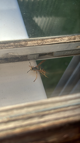
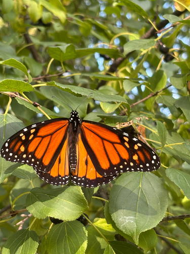

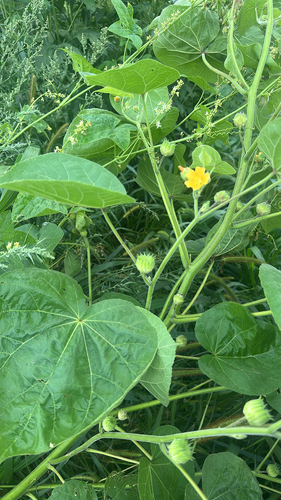
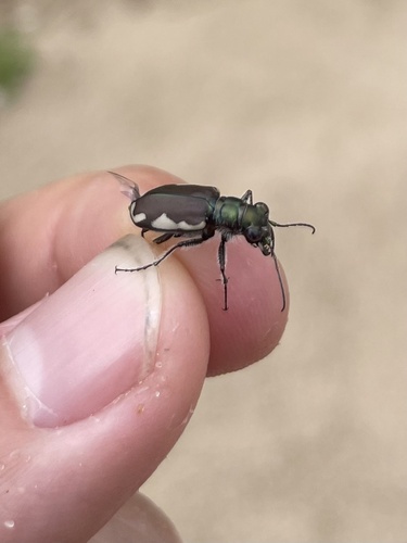
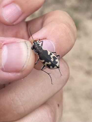
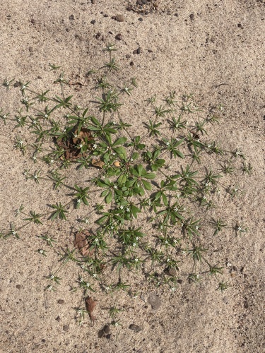
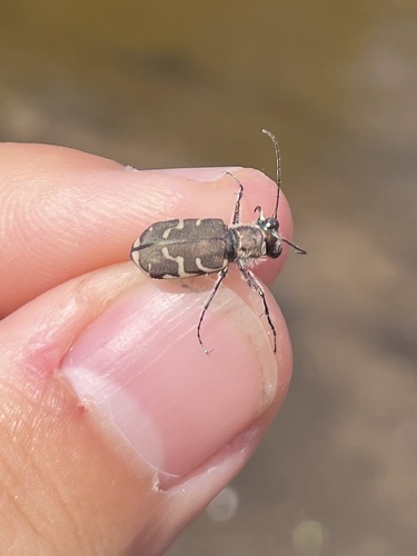
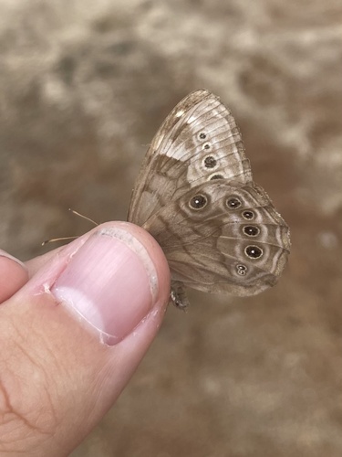
Research-grade observations from iNaturalist (within ~15 mi).
Nearest stream gauge
Events
Gallery
Sources
- • Wikipedia
- • US Census Bureau (ACS 5-year estimates)
- • NOAA National Weather Service
- • Wikidata
- • USGS Earthquake Catalog (global feed)
- • NCES via Urban Institute Education Data Portal
- • GBIF (Global Biodiversity Information Facility)
- • iNaturalist
- • CDC PLACES
- • Open-Meteo / sunrise-sunset.org
- • Wikipedia Pageviews API