Browse / United States / Wisconsin / Chelsea
Chelsea
WisconsinCDP

Chelsea
Total population
75
Median home value
$112,500
Bachelor's+
Median income
$40,625
Demographic figures from US Census Bureau · ACS 5-year estimates. Overview below cites Wikipedia and may reference a different year.
City facts
Facts from Wikidata (CC0).
Overview
Chelsea is a town in Taylor County, Wisconsin, United States. The population was 710 at the 2020 census. The census-designated places of Chelsea and Whittlesey are located in the town.
Read more on WikipediaHistory & geography
History
The six by seven mile square that would become Chelsea was first surveyed in 1861 by a crew working for the U.S. government. Then in April 1862 another crew marked all the section corners in the township, walking through the woods and swamps, measuring with chain and compass. When done, the deputy surveyor filed this general description: The Surface of this Township is generally rolling and considerably Swampy. Timber principally Hemlock mixed with Birch Sugar Spruce (?) Tamarac Cedar and White Pine. It is watered by numerous Small Streams which unite and form two of considerable size one running in a Southerly direction and the other running NW and becoming a tributary of Chipewa river. The Township on the whole would not be very well adapted to agricultural purposes. In the early 1870s the Wisconsin Central Railroad Company built its line up through the forest on the east side of the six-mile square that would become Chelsea. To finance this undertaking, the railroad was granted half the land for 18 miles on either side of the track laid - generally the odd sections. The railroad built two stations in this town: Whittlesey and Chelsea. Sawmills were built near each station and logging commenced. When Taylor County was formed in 1875, Chelsea was six miles north to south, but it spanned the full width of the county, including all modern towns from Pershing to Greenwood. An 1880 map shows some sort of road roughly following the course of modern highway 13 up to Chelsea station, then heading west along the course of modern Quarter Lane. The 1911 plat map of the six mile square that would become Chelsea shows much of the same as 1880, but the road/track along Quarter Lane had disappeared. By then the whole east and south edges of the town had a fairly complete grid of…
Geography
According to the United States Census Bureau, the CDP has a total area of , all land. Most of Chelsea is hilly, with small glacial lakes. It lies within the Perkinstown terminal moraine, which is described under Taylor County.
Excerpted from the corresponding Wikipedia article (CC BY-SA).
Demographics & economy
Race & ethnicity
Source: US Census Bureau — American Community Survey, 5-year estimates.
Geography
Coordinates & boundaries from the US Census TIGER/Line shapefiles.
Climate
Air quality
Industrial & pollution facilities
Natural hazard risk
Health (adults)
Walkability
Amenities nearby
Wildlife & biodiversity
Schools
Earthquake history
Photos
Sights & places nearby
Notable people from here
Nearby places in Wisconsin
- Westboro4.7 mi away
- Whittlesey5.1 mi away
- Rib Lake5.3 mi away
- Stetsonville14.9 mi away
- Prentice17.2 mi away · pop. 521
- Catawba20.2 mi away · pop. 170
- Dorchester20.2 mi away · pop. 879
- Kennan21.3 mi away · pop. 112
- Abbotsford24.1 mi away
- Jump River24.2 mi away
- Hawkins25.1 mi away · pop. 322
- Lublin25.3 mi away · pop. 110
Geography & sun
Elevation, sunrise/sunset and daylight from Open-Meteo. Solar climatology from NASA POWER.
Nearby airports
Public attention
Pageview totals from the Wikimedia Pageviews API.
Books about Chelsea




Search results from Open Library.
Recent natural events nearby
Ground air-quality sensors
Recently spotted species
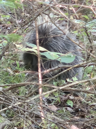

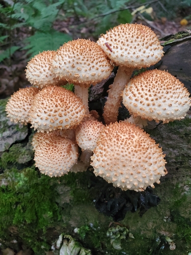
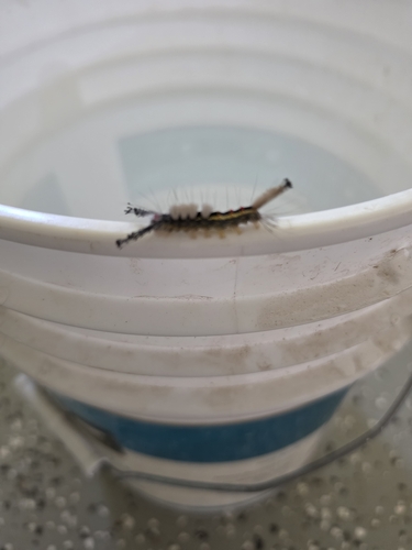
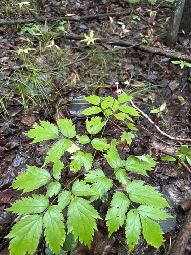
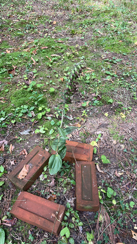
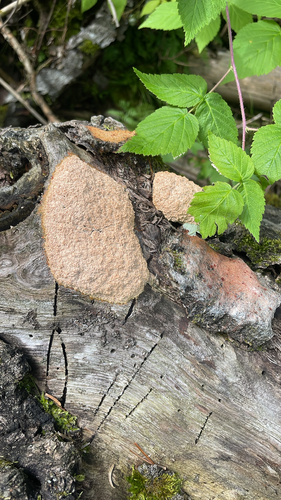
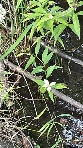
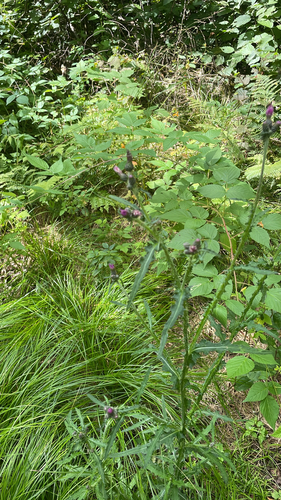
Research-grade observations from iNaturalist (within ~15 mi).
Nearest stream gauge
Events
Gallery
Sources
- • Wikipedia
- • US Census Bureau (ACS 5-year estimates)
- • Wikidata
- • iNaturalist
- • Open-Meteo / sunrise-sunset.org
- • Wikipedia Pageviews API
- • Open Library