Browse / United States / Wisconsin / Catawba
Catawba
Wisconsinvillage

Catawba
Total population
170
Median home value
$58,500
Bachelor's+
Median income
$67,955
Demographic figures from US Census Bureau · ACS 5-year estimates. Overview below cites Wikipedia and may reference a different year.
City facts
Facts from Wikidata (CC0).
Overview
Catawba is a village in Price County, Wisconsin, United States. The population was 141 at the 2020 census. The village is located within the Town of Catawba.
Read more on WikipediaHistory & geography
History
Before the railroad was built circa 1884, the area that would become Catawba was a forested wilderness cut only by rivers and Indian trails. The federal government surveyed that wilderness in 1847 and 1855. In the final years before the railroad, a little pine was logged along the river and some Swedish immigrants settled near where highway 86 crosses the south fork of the Jump River. The name Catawba is said to come from the wine - perhaps from a crew of railroad gandy dancers who overindulged on the stuff, or perhaps from local lumberjacks who partook at a saloon in Kennan. With the railroad came more lumber camps, more settlers, and a sawmill. The first school was operating by 1892, expanded to two rooms in 1902. By 1902 Peter Hammer's Red Birch Lumber Company had a sawmill running. He and his wife Isabelle also operated the Commercial Hotel, which largely served men working in the lumber business. Hammer also operated a company store called the ACA store. The town hall was built in 1921 and the village incorporated in 1922. At some point Wisconsin Highway 14 joined the railroad passing through town. It was eventually upgraded to U.S. Route 8, and paved in 1949.
Geography
Catawba is located at (45.535969, -90.530445). According to the United States Census Bureau, the village has a total area of , all land.
Excerpted from the corresponding Wikipedia article (CC BY-SA).
Demographics & economy
Race & ethnicity
Source: US Census Bureau — American Community Survey, 5-year estimates.
Geography
Coordinates & boundaries from the US Census TIGER/Line shapefiles.
Climate
Current forecast
Forecast for Catawba, WI from NOAA NWS API.
Air quality
Industrial & pollution facilities
Natural hazard risk
Health (adults)
Walkability
Amenities nearby
Wildlife & biodiversity
Most-observed species
- American RobinTurdus migratorius Linnaeus, 1766 · Aves297
- Blue JayCyanocitta cristata (Linnaeus, 1758) · Aves263
- American CrowCorvus brachyrhynchos C.L.Brehm, 1822 · Aves262
- Red-winged BlackbirdAgelaius phoeniceus (Linnaeus, 1766) · Aves248
- Black-capped ChickadeePoecile atricapillus (Linnaeus, 1766) · Aves239
- Song SparrowMelospiza melodia (A.Wilson, 1810) · Aves216
- Common YellowthroatGeothlypis trichas (Linnaeus, 1766) · Aves203
- Red-eyed VireoVireo olivaceus (Linnaeus, 1766) · Aves188
Citizen-science & research observations from the Global Biodiversity Information Facility (GBIF).
Schools
Earthquake history
Events from the USGS Earthquake Catalog (global) (FDSN Event Web Service).
Photos
Sights & places nearby
Notable people from here
Nearby places in Wisconsin
- Kennan2.6 mi away · pop. 112
- Hawkins9.1 mi away · pop. 322
- Prentice11.7 mi away · pop. 521
- Westboro16.8 mi away
- Chelsea20.2 mi away · pop. 75
- Rib Lake22 mi away
- Whittlesey24.1 mi away
- Ladysmith27.8 mi away · pop. 3,227
- Medford29.3 mi away · pop. 4,431
- Winter30.4 mi away
- Butternut32.9 mi away · pop. 465
- Lublin33.2 mi away · pop. 110
Geography & sun
Elevation, sunrise/sunset and daylight from Open-Meteo. Solar climatology from NASA POWER.
Nearby airports
Public attention
Pageview totals from the Wikimedia Pageviews API.
Books about Catawba
Search results from Open Library.
Recent natural events nearby
Ground air-quality sensors
Recently spotted species
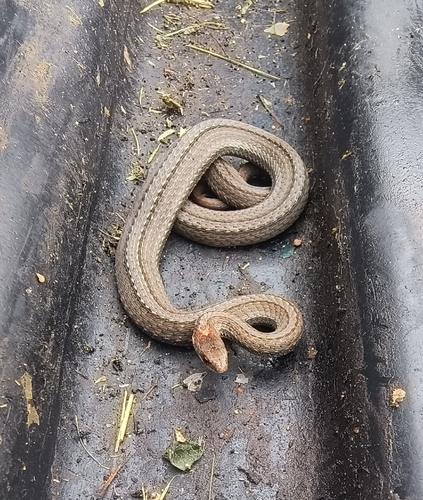
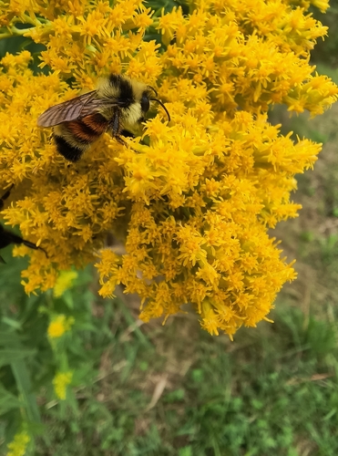
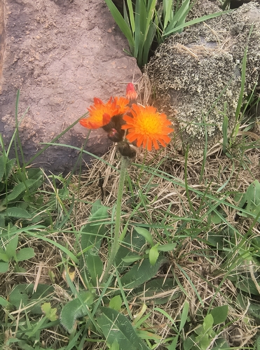
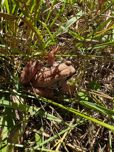
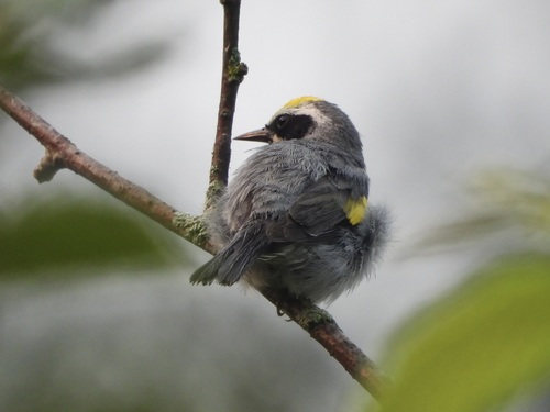
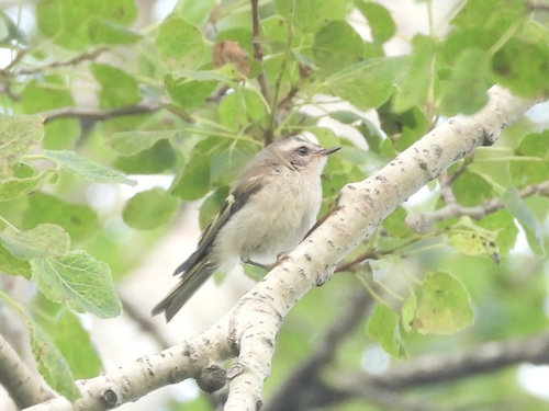
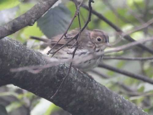
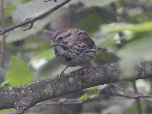
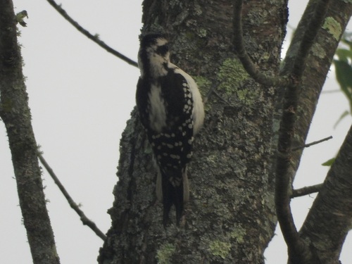
Research-grade observations from iNaturalist (within ~15 mi).
Nearest stream gauge
Live readings from USGS NWIS · measured 2026-09-24 13:45 UTC.
Events
Gallery
Sources
- • Wikipedia
- • US Census Bureau (ACS 5-year estimates)
- • NOAA National Weather Service
- • Wikidata
- • USGS Earthquake Catalog (global feed)
- • USGS NWIS (water data)
- • GBIF (Global Biodiversity Information Facility)
- • iNaturalist
- • Open-Meteo / sunrise-sunset.org
- • Wikipedia Pageviews API
- • Open Library