Browse / United States / Wisconsin / Ladysmith
Ladysmith
Wisconsincity

Ladysmith
Total population
3,227
Median home value
$124,200
Bachelor's+
Median income
$41,719
Demographic figures from US Census Bureau · ACS 5-year estimates. Overview below cites Wikipedia and may reference a different year.
City facts
Overview
Ladysmith is a city and the county seat of Rusk County, Wisconsin, United States, where U.S. Route 8 and Wisconsin Highway 27 meet and cross the Flambeau River. The population was 3,216 at the 2020 census.
Read more on WikipediaHistory & geography
History
Native Americans passed up and down the Flambeau River for thousands of years, fishing and hunting through the forest that would become Ladysmith. The Ojibwe were the last group to dominate the area, before the U.S. forced them to cede their land rights to most of northern Wisconsin in the White Pine Treaty of 1837. They called the area that would become Ladysmith - "waterfalls overflowing the rocks." U.S. surveyors arrived in 1852, walking through the woods and swamps, using chain and compass to find the section corners. The deputy surveyor filed this general description of the six-mile square that contains the north half of Ladysmith: This Township contains considerable Tamarac swamp passing from North East to South West. In the North West of the Township there is some good Pine on the small streams. Flambeau River enters the Township in section 25 and leaves it in section 35. Rapid current, high and dry banks, not subject to inundation, bed stoney. Some good Pine on and near the stream. No particular fall or Rapid(?). The first settler at what is now Ladysmith was the French-Canadian lumberman Bruno Vinette. He ran logging camps in the area in the 1860s and by 1872 had cut out a farm on the Flambeau River west of the modern Tee-A-Way golf course. He kept his oxen, horses, and logging equipment at this wilderness outpost during the summers, and grew crops to supply his camps. Eventually he built a ferry across the river and a backwoods hotel to serve people (mostly loggers) traveling up and down the river. Behind the hotel was a dugout jail for those made unruly by the liquor Vinette sold. In 1885 the Minneapolis, St. Paul and Sault Ste. Marie Railroad (Soo Line) reached what would become Ladysmith, building track east to connect the grain of the Twin Cities…
Geography
Ladysmith is located at . According to the United States Census Bureau, the city has an area of , of which is land and is water. U.S. Highway 8 and Wisconsin Highway 27 are the main routes in the community. Ladysmith is situated along the Flambeau River.
Excerpted from the corresponding Wikipedia article (CC BY-SA).
Demographics & economy
Race & ethnicity
Source: US Census Bureau — American Community Survey, 5-year estimates.
Geography
Coordinates & boundaries from the US Census TIGER/Line shapefiles.
Climate
Current forecast
Forecast for Ladysmith, WI from NOAA NWS API.
Air quality
Industrial & pollution facilities
Natural hazard risk
Health (adults)
Walkability
Amenities nearby
Wildlife & biodiversity
Schools
Earthquake history
Photos
Sights & places nearby
Notable people from here


People born within ~10 km, from Wikidata (CC0). Click any name for their Wikipedia article.
Nearby places in Wisconsin
Geography & sun
Elevation, sunrise/sunset and daylight from Open-Meteo. Solar climatology from NASA POWER.
Nearby airports
Public attention
Pageview totals from the Wikimedia Pageviews API.
Books about Ladysmith


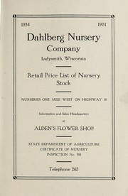


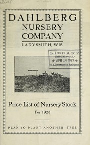
Search results from Open Library.
Recent natural events nearby
Ground air-quality sensors
Recently spotted species
Nearest stream gauge
Events
Gallery
Sources
- • Wikipedia
- • US Census Bureau (ACS 5-year estimates)
- • NOAA National Weather Service
- • Wikidata
- • Open-Meteo / sunrise-sunset.org
- • Wikipedia Pageviews API
- • Open Library