Browse / United States / Wisconsin / Glen Flora
Glen Flora
Wisconsinvillage

Glen Flora
Total population
89
Median home value
$115,000
Bachelor's+
Median income
$68,750
Demographic figures from US Census Bureau · ACS 5-year estimates. Overview below cites Wikipedia and may reference a different year.
City facts
Facts from Wikidata (CC0).
Overview
Glen Flora is a village in Rusk County, Wisconsin, United States. The population was 100 at the 2020 census. Originally named Miller's Siding after Frank Miller, who built the first saw mill in the area in the 1880s, the village received its current name in December 1887 when the post office was established. The village is surrounded by the town of True.
Read more on WikipediaHistory & geography
History
The Minneapolis, St. Paul and Sault Ste. Marie Railroad, heading from Ladysmith toward Sault St. Marie, built through the wilderness that would become eastern Rusk County in 1884. Their early steam engines needed frequent stops along the line, so they created Glen Flora station about midway between Deertail (Tony) and Ingram. In 1891 an album of the Chippewa Valley described the new hamlet like this: Glen Flora is a lumber settlements, with about thirty residents, on the [Soo Line], and on Duncan creek. It has been surveyed and platted, and has a post-office, and a steam saw, planing and shingle-mill, belonging to the Glen Flora Manufacturing company, which is operated by them.
Geography
Glen Flora is located at (45.496729, -90.893193). According to the United States Census Bureau, the village has a total area of , all land. Glen Flora is situated along U.S. Highway 8 and County Road B.
Excerpted from the corresponding Wikipedia article (CC BY-SA).
Demographics & economy
Race & ethnicity
Source: US Census Bureau — American Community Survey, 5-year estimates.
Geography
Coordinates & boundaries from the US Census TIGER/Line shapefiles.
Climate
Air quality
Industrial & pollution facilities
Natural hazard risk
Health (adults)
Age-adjusted prevalence estimates from CDC PLACES (latest release).
Walkability
Amenities nearby
Wildlife & biodiversity
Most-observed species
- American CrowCorvus brachyrhynchos C.L.Brehm, 1822 · Aves960
- American RobinTurdus migratorius Linnaeus, 1766 · Aves901
- Red-winged BlackbirdAgelaius phoeniceus (Linnaeus, 1766) · Aves892
- Canada Goose (canadensis Group)Branta canadensis (Linnaeus, 1758) · Aves741
- Black-capped ChickadeePoecile atricapillus (Linnaeus, 1766) · Aves734
- Blue JayCyanocitta cristata (Linnaeus, 1758) · Aves701
- American GoldfinchSpinus tristis (Linnaeus, 1758) · Aves606
- Mourning DoveZenaida macroura (Linnaeus, 1758) · Aves570
Citizen-science & research observations from the Global Biodiversity Information Facility (GBIF).
Schools
Largest nearby schools
- Ladysmith ElementaryElementary · Ladysmith · 329 students · 11.3:1 ratio
- Ladysmith HighHigh · Ladysmith · 245 students · 13.6:1 ratio
- Flambeau ElementaryElementary · Tony · 214 students · 11.9:1 ratio
- Ladysmith MiddleMiddle · Ladysmith · 169 students · 13:1 ratio
- Flambeau HighHigh · Tony · 141 students · 10.1:1 ratio
- Flambeau MiddleMiddle · Tony · 106 students · 13.3:1 ratio
Public K–12 schools within ~10 mi from Urban Institute Education Data Portal (NCES Common Core of Data, 2022).
Earthquake history
Events from the USGS Earthquake Catalog (global) (FDSN Event Web Service).
Photos
Sights & places nearby
Notable people from here
Nearby places in Wisconsin
Geography & sun
Elevation, sunrise/sunset and daylight from Open-Meteo. Solar climatology from NASA POWER.
Nearby airports
Public attention
Pageview totals from the Wikimedia Pageviews API.
Books about Glen Flora


Search results from Open Library.
Recent natural events nearby
Ground air-quality sensors
Recently spotted species
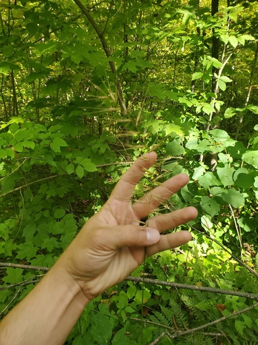
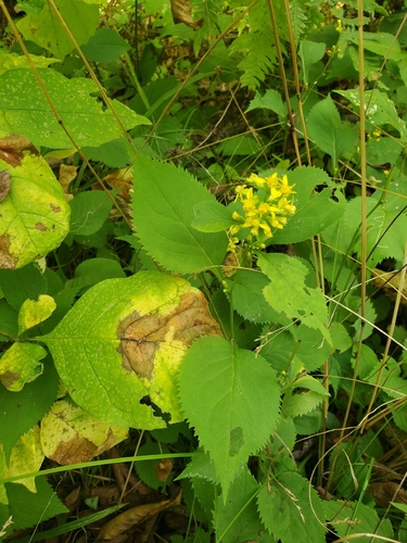
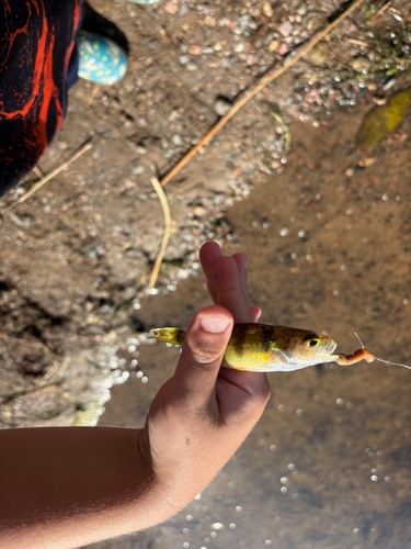
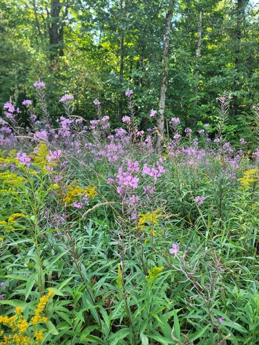
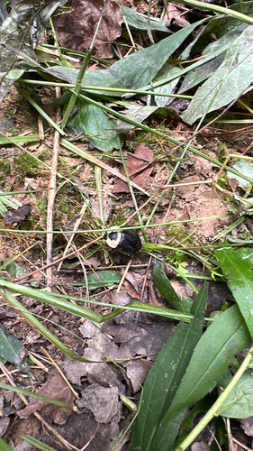
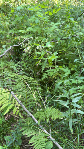
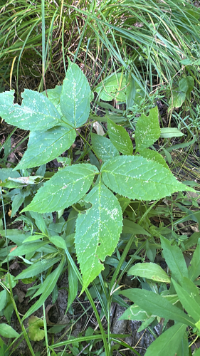
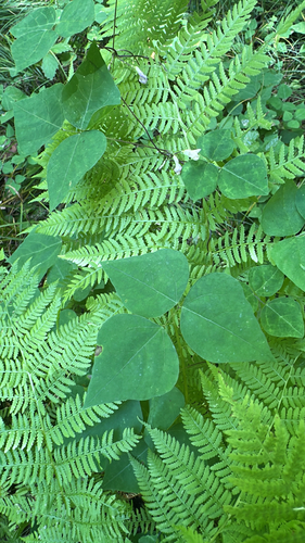
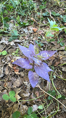
Research-grade observations from iNaturalist (within ~15 mi).
Nearest stream gauge
Live readings from USGS NWIS · measured 2026-09-26 04:00 UTC.
Events
Gallery
Sources
- • Wikipedia
- • US Census Bureau (ACS 5-year estimates)
- • Wikidata
- • USGS Earthquake Catalog (global feed)
- • USGS NWIS (water data)
- • NCES via Urban Institute Education Data Portal
- • GBIF (Global Biodiversity Information Facility)
- • iNaturalist
- • CDC PLACES
- • Open-Meteo / sunrise-sunset.org
- • Wikipedia Pageviews API
- • Open Library