Browse / United States / Wisconsin / Fox Point
Fox Point
Wisconsinvillage

Fox Point
Total population
6,683
Median home value
$444,700
Bachelor's+
Median income
$141,467
Air quality index
Demographic figures from US Census Bureau · ACS 5-year estimates. Overview below cites Wikipedia and may reference a different year.
- Beach Hazards Statement · ModerateBeach Hazards Statement issued September 18 at 12:16AM CDT until September 18 at 2:00PM CDT by NWS Milwaukee/Sullivan WI
Source: NOAA National Weather Service.
City facts
Facts from Wikidata (CC0).
Overview
Fox Point is a village in Milwaukee County, Wisconsin, United States. The population was 6,934 at the 2020 census.
Read more on WikipediaHistory & geography
History
The Fox Point area has been inhabited for thousands of years. The earliest known inhabitants were Woodland period Mound Builders, who constructed earthen effigy and burial mounds in the area. Many of the mounds were destroyed by white farmers between 1850 and 1920. In the early 19th century, archaeologists also found traces of several Hopewell villages in the area. The land was opened to European and American settlers in the 1830s, after the Potawatomi signed the 1833 Treaty of Chicago. The first survey of the area was conducted later that year, and the U.S. Federal Government began land parcels in present-day Fox Point in autumn 1835. Two Dutch Reformed congregations formed in the community in its early years. The community's demographics changed later in the nineteenth century. One of Fox Point's first black residents was Calvin Reeves, a formerly enslaved man from Louisiana who moved to the community after the American Civil War with two Dutch-American soldiers returning home from the conflict. German immigrants also began moving to Fox Point in the 1860s, forming St. John's Lutheran Church in 1866. Fox Point changed significantly in the 1890s. Many of the originally Dutch farmers had moved to the City of Milwaukee and to the southern Sheboygan County Town of Holland, and the villages of Oostburg and Cedar Grove. By 1898, the Dutch churches had disbanded. But at the same time, wealthy Milwaukeeans were building summer homes in the lakeside community, which was easily accessible via the Lakeshore & Western Railroad constructed in 1870 and later via the Milwaukee Electric Railway and Light Company streetcars. In 1898, the Fox Point Club—the state's second golf course—opened in the community, and attracted even more wealthy residents to the area, serving as a social…
Geography
According to the United States Census Bureau, the village has a total area of , all land. Fox Point, situated within the humid continental climate zone (Köppen prefix D), experiences distinct seasonal variation, with wide swings in temperature and precipitation. The village's immediate proximity to Lake Michigan makes it susceptible to lake-effect snow in the winter months. The warmest month of the year in Fox Point is July, with a high temperature average of 84 °F (28.9 °C) and low temperatures of 64 °F (17.8 °C). The summer months are the wettest months of the year, with frequent thunderstorms in the region. January is the coldest month, with average high temperatures averaging only 30 °F (-1.1 °C), and lows averaging 14 °F (-10 °C). February is the driest month.
Excerpted from the corresponding Wikipedia article (CC BY-SA).
Demographics & economy
Race & ethnicity
Source: US Census Bureau — American Community Survey, 5-year estimates.
Geography
Coordinates & boundaries from the US Census TIGER/Line shapefiles.
Climate
Current forecast
Forecast for Fox Point, WI from NOAA NWS API.
Air quality
Current readings from Open-Meteo Air Quality API (Copernicus CAMS European reanalysis).
Industrial & pollution facilities
Natural hazard risk
Health (adults)
Age-adjusted prevalence estimates from CDC PLACES (latest release).
Walkability
Amenities nearby
Wildlife & biodiversity
Most-observed species
- Northern CardinalCardinalis cardinalis (Linnaeus, 1758) · Aves33,204
- American RobinTurdus migratorius Linnaeus, 1766 · Aves32,640
- Black-capped ChickadeePoecile atricapillus (Linnaeus, 1766) · Aves30,662
- House SparrowPasser domesticus (Linnaeus, 1758) · Aves28,724
- American GoldfinchSpinus tristis (Linnaeus, 1758) · Aves28,219
- Mourning DoveZenaida macroura (Linnaeus, 1758) · Aves24,738
- House FinchHaemorhous mexicanus (P.L.Statius Müller, 1776) · Aves23,446
- Downy WoodpeckerDryobates pubescens (Linnaeus, 1766) · Aves23,375
Citizen-science & research observations from the Global Biodiversity Information Facility (GBIF).
Schools
Largest nearby schools
- HAPA-Hmong American Peace Academy K3-12Other · Milwaukee · 1,828 students · 28.6:1 ratio
- Obama School of Career and Technical EducationOther · Milwaukee · 1,402 students · 29.8:1 ratio
- Milwaukee Academy of ScienceOther · Milwaukee · 1,401 students · 20.3:1 ratio
- King InternationalHigh · Milwaukee · 1,283 students · 17.8:1 ratio
- Riverside HighHigh · Milwaukee · 1,229 students · 13.8:1 ratio
- Golda Meir SchoolOther · Milwaukee · 1,174 students · 19.6:1 ratio
- Nicolet HighHigh · Glendale · 1,089 students · 13.3:1 ratio
- East HighHigh · Wauwatosa · 1,067 students · 15.7:1 ratio
Public K–12 schools within ~10 mi from Urban Institute Education Data Portal (NCES Common Core of Data, 2022).
Earthquake history
Events from the USGS Earthquake Catalog (global) (FDSN Event Web Service).
Photos
Sights & places nearby
Notable people from here


People born within ~10 km, from Wikidata (CC0). Click any name for their Wikipedia article.
Nearby places in Wisconsin
- Glendale2.6 mi away · pop. 13,656
- Whitefish Bay3.1 mi away
- Brown Deer3.9 mi away · pop. 12,564
- Thiensville6.6 mi away
- Mequon6.8 mi away · pop. 25,270
- Milwaukee7.3 mi away · pop. 563,512
- Butler9.3 mi away · pop. 1,859
- Wauwatosa9.4 mi away · pop. 48,387
- West Milwaukee10.7 mi away
- Menomonee Falls11.1 mi away · pop. 38,527
- Grafton11.5 mi away · pop. 12,445
- West Allis12.3 mi away · pop. 60,325
Geography & sun
Elevation, sunrise/sunset and daylight from Open-Meteo. Solar climatology from NASA POWER.
Nearby airports
Public attention
Pageview totals from the Wikimedia Pageviews API.
Books about Fox Point


Search results from Open Library.
Recent natural events nearby
Ground air-quality sensors
Recently spotted species
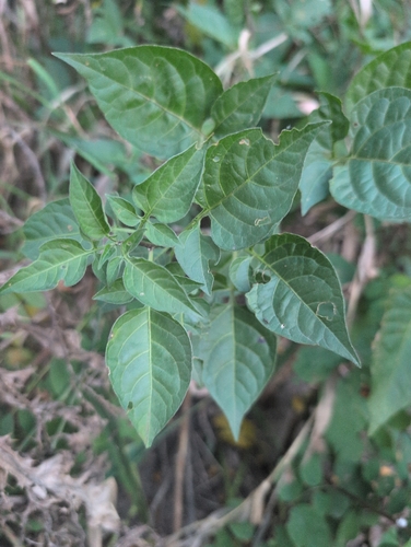
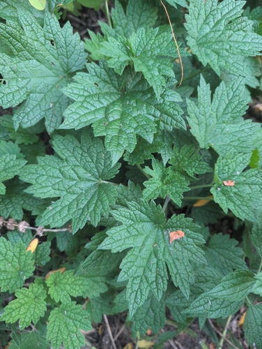
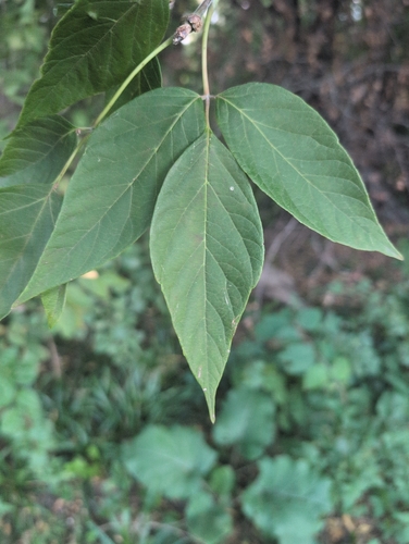
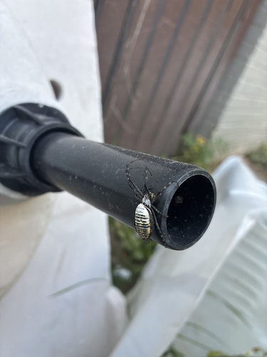
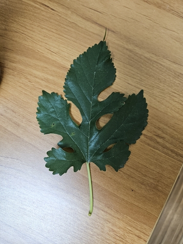
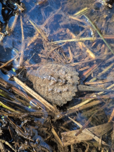
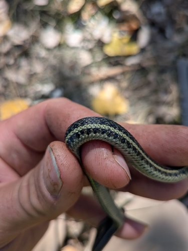
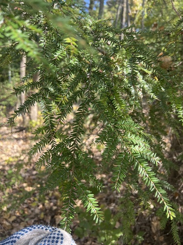
Research-grade observations from iNaturalist (within ~15 mi).
Nearest stream gauge
Live readings from USGS NWIS · measured 2026-10-13 21:00 UTC.
Events
Gallery
Sources
- • Wikipedia
- • US Census Bureau (ACS 5-year estimates)
- • NOAA National Weather Service
- • Wikidata
- • Open-Meteo Air Quality (CAMS)
- • USGS Earthquake Catalog (global feed)
- • USGS NWIS (water data)
- • NCES via Urban Institute Education Data Portal
- • GBIF (Global Biodiversity Information Facility)
- • iNaturalist
- • CDC PLACES
- • Open-Meteo / sunrise-sunset.org
- • Wikipedia Pageviews API
- • Open Library