Browse / United States / Wisconsin / Germantown
Germantown
Wisconsinvillage

Germantown
Total population
20,962
Median home value
$373,600
Bachelor's+
Median income
$100,231
Demographic figures from US Census Bureau · ACS 5-year estimates. Overview below cites Wikipedia and may reference a different year.
City facts
Facts from Wikidata (CC0).
Overview
Germantown is a village in Washington County, Wisconsin, United States. The population was 20,917 at the 2020 census. The village surrounds the Town of Germantown, and is part of the Milwaukee metropolitan area.
Read more on WikipediaHistory & geography
History
The land that became Germantown was originally inhabited by members of the Potawatomi tribe. The Potawatomi surrendered the land that became Germantown to the United States Federal Government in 1833 through the 1833 Treaty of Chicago, which (after being ratified in 1835) required them to leave Wisconsin by 1838. While many Native people moved west of the Mississippi River to Kansas, some chose to remain or return after temporarily settling in the west, and were referred to as "strolling Potawatomi" in contemporary documents because many of them were migrants who subsisted by squatting on their ancestral lands, which were now owned by White settlers. In the late 19th and early 20th centuries, the Potawatomi who evaded forced removal gathered in northern Wisconsin and the Upper Peninsula of Michigan where many worked in the timber industry and formed the Forest County Potawatomi Community. The community was originally designated as the Wisconsin Territory's "Town Nine," making it the oldest settlement in Washington County. Beginning in the 1840s, many German immigrants—particularly from the regions of Bavaria, Hessen, Rheinland, Pommern, and Prussia—settled in the area, which led to it being named "Germantown". The territorial legislature created the Town of Germantown on January 21, 1846, and the first town meeting was on April 7 of the same year. The town included the then-unincorporated communities of Dheinsville, Goldenthal, Kuhberg (later known as Victory Center), Meeker Hill, Rockfield, South Germantown, and Willow Creek. In the 19th and early 20th centuries, Germantown's economy relied heavily on agriculture, including dairy farming. The southern part of Germantown is rich in Silurian limestone, which was quarried beginning in the 1870s, particularly in the…
Geography
Germantown is located at (43.223206, −88.120433). According to Wisconsin First Nations (a Wisconsin Department of Public Instruction resource), Germantown is located on Potawatomi treaty land. The village also falls within the lands of the Peoria, Menominee, Miami, and Sioux Indigenous peoples, as shown by Canadian not-for-profit organization Native Land Digital. The United States Census Bureau indicates Germantown has a total area of , of which, of it is land and is water.
Excerpted from the corresponding Wikipedia article (CC BY-SA).
Demographics & economy
Race & ethnicity
Source: US Census Bureau — American Community Survey, 5-year estimates.
Geography
Coordinates & boundaries from the US Census TIGER/Line shapefiles.
Climate
Current forecast
Forecast for Germantown, WI from NOAA NWS API.
Air quality
Industrial & pollution facilities
Natural hazard risk
Health (adults)
Age-adjusted prevalence estimates from CDC PLACES (latest release).
Walkability
Amenities nearby
Wildlife & biodiversity
Most-observed species
- Northern CardinalCardinalis cardinalis (Linnaeus, 1758) · Aves29,815
- Black-capped ChickadeePoecile atricapillus (Linnaeus, 1766) · Aves28,182
- American RobinTurdus migratorius Linnaeus, 1766 · Aves26,184
- American GoldfinchSpinus tristis (Linnaeus, 1758) · Aves25,016
- Mourning DoveZenaida macroura (Linnaeus, 1758) · Aves23,257
- American CrowCorvus brachyrhynchos C.L.Brehm, 1822 · Aves22,542
- Downy WoodpeckerDryobates pubescens (Linnaeus, 1766) · Aves20,712
- House FinchHaemorhous mexicanus (P.L.Statius Müller, 1776) · Aves20,457
Citizen-science & research observations from the Global Biodiversity Information Facility (GBIF).
Schools
Earthquake history
Events from the USGS Earthquake Catalog (global) (FDSN Event Web Service).
Photos
Sights & places nearby
Notable people from here


People born within ~10 km, from Wikidata (CC0). Click any name for their Wikipedia article.
Nearby places in Wisconsin
- Menomonee Falls5.2 mi away · pop. 38,527
- Mequon5.8 mi away · pop. 25,270
- Jackson6.2 mi away · pop. 8,003
- Thiensville7.5 mi away
- Sussex8.6 mi away
- Brown Deer8.6 mi away · pop. 12,564
- Butler9.1 mi away · pop. 1,859
- Slinger10.3 mi away
- Grafton10.7 mi away · pop. 12,445
- Glendale12.5 mi away · pop. 13,656
- Wauwatosa12.7 mi away · pop. 48,387
- West Bend13 mi away · pop. 31,752
Geography & sun
Elevation, sunrise/sunset and daylight from Open-Meteo. Solar climatology from NASA POWER.
Nearby airports
Public attention
Pageview totals from the Wikimedia Pageviews API.
Books about Germantown



Search results from Open Library.
Recent natural events nearby
Ground air-quality sensors
Recently spotted species
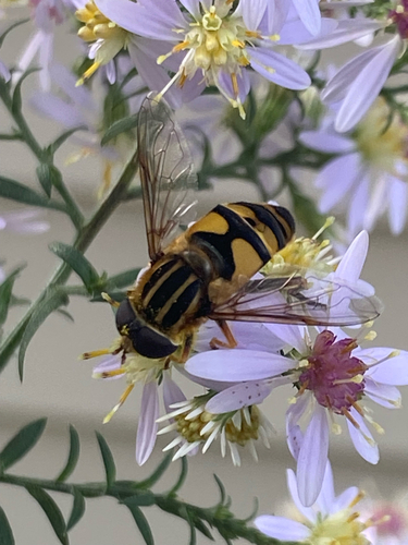

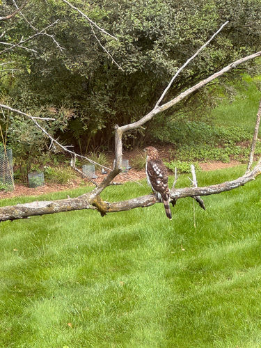
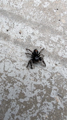

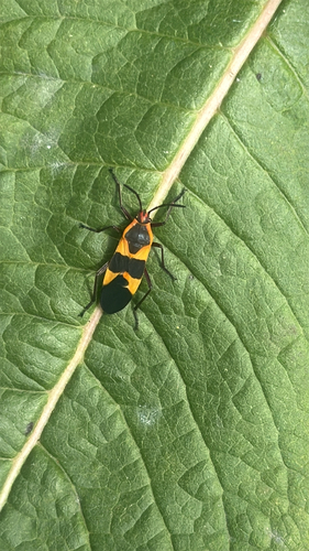
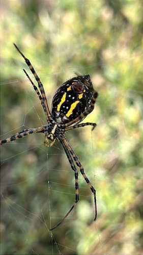
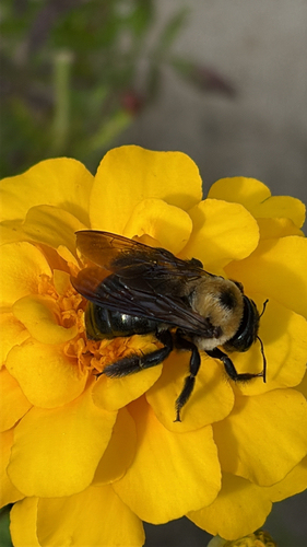
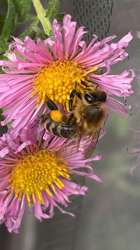
Research-grade observations from iNaturalist (within ~15 mi).
Nearest stream gauge
Events
Gallery
Sources
- • Wikipedia
- • US Census Bureau (ACS 5-year estimates)
- • NOAA National Weather Service
- • Wikidata
- • USGS Earthquake Catalog (global feed)
- • GBIF (Global Biodiversity Information Facility)
- • iNaturalist
- • CDC PLACES
- • Open-Meteo / sunrise-sunset.org
- • Wikipedia Pageviews API
- • Open Library