Browse / United States / Wisconsin / Lewis
Lewis
WisconsinCDP
Total population
170
Median home value
$210,000
Bachelor's+
Median income
$111,667
Demographic figures from US Census Bureau · ACS 5-year estimates. Overview below cites Wikipedia and may reference a different year.
City facts
Facts from Wikidata (CC0).
Overview
Lewis is an unincorporated census-designated place in the town of Clam Falls, Polk County, Wisconsin, United States. Lewis is located on Wisconsin Highway 35, 4.5 miles (7.2 km) northeast of Frederic. As of the 2020 census, its population was 87.
Read more on WikipediaHistory & geography
History
The town is named for founder Charles E. Lewis, a Minnesota wheat broker who purchased a large tract of land in Clam Falls Township around the turn of the 20th century. His personal estate, "Seven Pines Lodge", attracted several prominent guests throughout the 1920s, including President Calvin Coolidge, and is maintained as a private resort complex to this day. Knapp Creek, the abutting stream once referred to as "[a] trout preserve which is second to none in this country", continues to be classified as a Class I trout stream. However, much of the stream runs through private property and is not accessible as a public fishery. Like many in the area, the town has seen steady decline in population and economic base since the demise of the logging and railroad industries.
Excerpted from the corresponding Wikipedia article (CC BY-SA).
Demographics & economy
Race & ethnicity
Source: US Census Bureau — American Community Survey, 5-year estimates.
Geography
Coordinates & boundaries from the US Census TIGER/Line shapefiles.
Climate
Current forecast
Forecast for Lewis, WI from NOAA NWS API.
Air quality
Industrial & pollution facilities
Natural hazard risk
Health (adults)
Age-adjusted prevalence estimates from CDC PLACES (latest release).
Walkability
Amenities nearby
Wildlife & biodiversity
Most-observed species
- Trumpeter/Tundra SwanCygnus buccinator Richardson, 1831 · Aves1,691
- Sandhill craneGrus canadensis (Linnaeus, 1758) · Aves1,359
- Canada Goose (canadensis Group)Branta canadensis (Linnaeus, 1758) · Aves1,298
- Blue JayCyanocitta cristata (Linnaeus, 1758) · Aves1,273
- American CrowCorvus brachyrhynchos C.L.Brehm, 1822 · Aves1,225
- Red-winged BlackbirdAgelaius phoeniceus (Linnaeus, 1766) · Aves1,185
- MallardAnas platyrhynchos Linnaeus, 1758 · Aves1,004
- Bald EagleHaliaeetus leucocephalus (Linnaeus, 1766) · Aves1,002
Citizen-science & research observations from the Global Biodiversity Information Facility (GBIF).
Schools
Largest nearby schools
- Frederic 6-12 SchoolHigh · Frederic · 221 students · 11.6:1 ratio
- Frederic ElementaryElementary · Frederic · 208 students · 11.6:1 ratio
Public K–12 schools within ~10 mi from Urban Institute Education Data Portal (NCES Common Core of Data, 2022).
Earthquake history
Events from the USGS Earthquake Catalog (global) (FDSN Event Web Service).
Photos
Sights & places nearby
Notable people from here


People born within ~10 km, from Wikidata (CC0). Click any name for their Wikipedia article.
Nearby places in Wisconsin
Geography & sun
Elevation, sunrise/sunset and daylight from Open-Meteo. Solar climatology from NASA POWER.
Nearby airports
Public attention
Pageview totals from the Wikimedia Pageviews API.
Books about Lewis

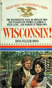
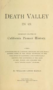


Search results from Open Library.
Recent natural events nearby
Ground air-quality sensors
Recently spotted species
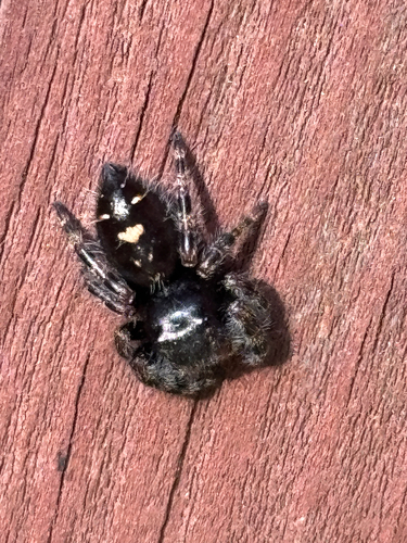
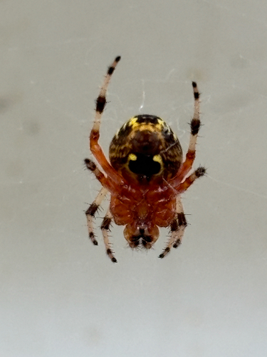
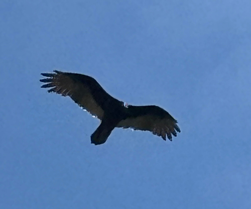
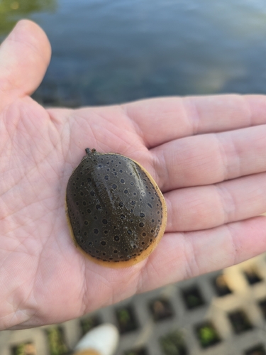
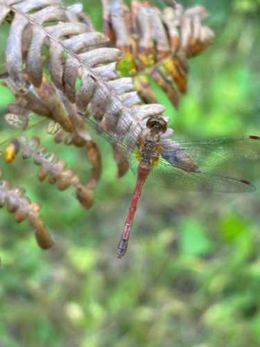
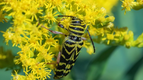
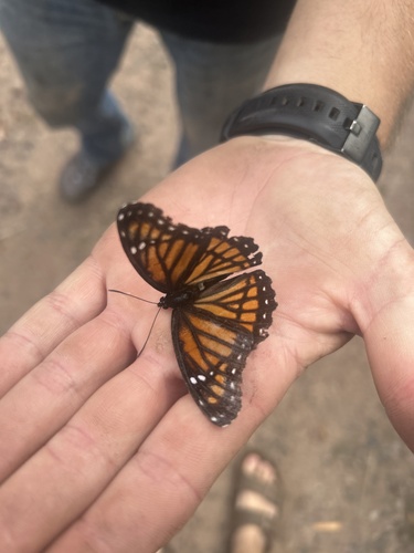
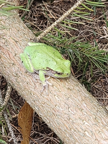
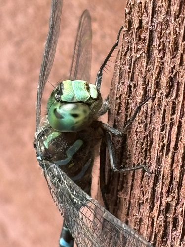
Research-grade observations from iNaturalist (within ~15 mi).
Nearest stream gauge
Events
Gallery
Sources
- • Wikipedia
- • US Census Bureau (ACS 5-year estimates)
- • NOAA National Weather Service
- • Wikidata
- • USGS Earthquake Catalog (global feed)
- • NCES via Urban Institute Education Data Portal
- • GBIF (Global Biodiversity Information Facility)
- • iNaturalist
- • CDC PLACES
- • Open-Meteo / sunrise-sunset.org
- • Wikipedia Pageviews API
- • Open Library