Browse / United States / Wyoming / Cheyenne
Cheyenne
Wyomingcity

Cheyenne
Total population
65,698
Median home value
$360,800
Bachelor's+
Median income
$79,813
Founded
1867
Demographic figures from US Census Bureau · ACS 5-year estimates. Overview below cites Wikipedia and may reference a different year.
- Red Flag Warning · SevereRed Flag Warning issued October 4 at 11:31PM MDT until October 5 at 6:00PM MDT by NWS Cheyenne WY
Source: NOAA National Weather Service.
City facts
Facts from Wikidata (CC0).
Overview
Cheyenne is the capital and most populous city of the U.S. state of Wyoming. Its population was 65,132 at the 2020 census, while the Cheyenne metropolitan area encompassing all of Laramie County had an estimated 102,000 residents. Cheyenne is situated on Crow Creek and Dry Creek. It is the county seat of Laramie County.
Read more on WikipediaHistory & geography
History
At a celebration on July 4, 1867, Grenville M. Dodge of the Union Pacific Railroad announced the selection of a townsite for its mountain region headquarters adjacent to the bridge the railroad planned to build across Crow Creek in the Territory of Dakota. At the same celebration, Major General Christopher C. Augur announced the selection of a site three miles (5 km) west of Crow Creek Crossing for a U.S. Army fort to protect the railroad. The Union Pacific Railroad platted its Crow Creek Crossing townsite on July 5, 1867. Residents named the town Cheyenne for the Cheyenne Native American people. On August 8, 1867, the Town of Cheyenne, Dakota Territory was incorporated, and on August 10, 1867, H. M. Hook was elected as Cheyenne's first mayor. The fort was transferred to the new United States Air Force and was renamed Francis E. Warren Air Force Base in October 1949. Territorial Governor John Allen Campbell arrived in Cheyenne on May 7, 1869, and named Cheyenne the temporary territorial capital. Cheyenne has remained the only capital of Wyoming. On December 10, 1869, the first session of the Wyoming Territorial Legislature met in Cheyenne. The Wyoming State Capitol was constructed between 1886 and 1890, with further improvements being completed in 1917. The Cheyenne Regional Airport was opened in 1920, initially serving as a stop for airmail. It soon developed into a civil-military airport, serving DC-3s and various military craft. During World War II, hundreds of B-17s, B-24s, and PBYs were outfitted and upgraded at the airfield. Today, it serves a number of military functions and as a high-altitude testbed for civilian craft.
Geography
Lying near the southeast corner of the state, Cheyenne is one of the least centrally located state capitals in the nation (together with cities such as Carson City, Nevada; Juneau, Alaska; Tallahassee, Florida; Topeka, Kansas; and Trenton, New Jersey). According to the United States Census Bureau, the city has a total area of , of which is covered by water. Cheyenne, like much of Wyoming, has a cold semiarid climate (Köppen climate classification BSk) and is part of USDA hardiness zone 5b, with the suburbs falling in zone 5a. Winters are cold and moderately long, but relatively dry, with highs often above freezing, having a normal mean temperature of , highs that fail to breach freezing for 35 days per year, and lows that dip to the mark on 9.2 mornings. It was the most destructive tornado in Wyoming history. {|style="width:auto;text-align:center;line-height:1.2em;margin-left:auto;margin-right:auto" class="wikitable mw-collapsible" |- !Colspan=14|Climate data for Cheyenne |- !Month !Jan !Feb !Mar !Apr !May !Jun !Jul !Aug !Sep !Oct !Nov !Dec !style="border-left-width:medium"|Year |- !Mean daily daylight hours |style="background:#F0F011;color:#000000;"|10.0 |style="background:#F7F722;color:#000000;"|11.0 |style="background:#FFFF33;color:#000000;"|12.0 |style="background:#FFFF44;color:#000000;"|13.0 |style="background:#FFFF66;color:#000000;"|15.0 |style="background:#FFFF66;color:#000000;"|15.0 |style="background:#FFFF66;color:#000000;"|15.0 |style="background:#FFFF55;color:#000000;"|14.0 |style="background:#FFFF33;color:#000000;"|12.0 |style="background:#F7F722;color:#000000;"|11.0 |style="background:#F0F011;color:#000000;"|10.0 |style="background:#E9E900;color:#000000;"|9.0 |style="background:#FFFF37;color:#000000;border-left-width:medium"|12.3 |- !Average…
Excerpted from the corresponding Wikipedia article (CC BY-SA).
Demographics & economy
Race & ethnicity
Source: US Census Bureau — American Community Survey, 5-year estimates.
Geography
Coordinates & boundaries from the US Census TIGER/Line shapefiles.
Climate
Current forecast
Forecast for Cheyenne, WY from NOAA NWS API.
Air quality
Industrial & pollution facilities
Natural hazard risk
Health (adults)
Age-adjusted prevalence estimates from CDC PLACES (latest release).
Walkability
Amenities nearby
Wildlife & biodiversity
Most-observed species
- Eurasian Collared-DoveStreptopelia decaocto (Frivaldszky, 1838) · Aves4,647
- House SparrowPasser domesticus (Linnaeus, 1758) · Aves4,524
- House FinchHaemorhous mexicanus (P.L.Statius Müller, 1776) · Aves4,364
- American RobinTurdus migratorius Linnaeus, 1766 · Aves4,032
- MallardAnas platyrhynchos Linnaeus, 1758 · Aves3,901
- American CrowCorvus brachyrhynchos C.L.Brehm, 1822 · Aves3,672
- Canada Goose (canadensis Group)Branta canadensis (Linnaeus, 1758) · Aves3,615
- Northern FlickerColaptes auratus (Linnaeus, 1758) · Aves3,546
Citizen-science & research observations from the Global Biodiversity Information Facility (GBIF).
Schools
Largest nearby schools
- East High SchoolHigh · Cheyenne · 1,513 students · 15.4:1 ratio
- Central High SchoolHigh · Cheyenne · 1,283 students · 13.9:1 ratio
- South High SchoolHigh · Cheyenne · 1,187 students · 14.1:1 ratio
- Carey Junior High SchoolMiddle · Cheyenne · 861 students · 16.2:1 ratio
- McCormick Junior High SchoolMiddle · Cheyenne · 654 students · 14.9:1 ratio
- Johnson Junior High SchoolMiddle · Cheyenne · 647 students · 12.7:1 ratio
- Meadowlark ElementaryMiddle · Cheyenne · 522 students · 18.6:1 ratio
- Prairie Wind ElementaryElementary · Cheyenne · 469 students · 17.4:1 ratio
Public K–12 schools within ~10 mi from Urban Institute Education Data Portal (NCES Common Core of Data, 2022).
Earthquake history
Most recent
- M 2.8 — 2019-11-2313 km NNE of Laramie, Wyoming
- M 2.9 — 2019-03-307 km NE of Greeley, Colorado
- M 3 — 2016-11-068 km ENE of Greeley, Colorado
- M 2.7 — 2016-11-068 km ENE of Greeley, Colorado
- M 2.6 — 2016-08-232 km SSE of Eaton, Colorado
- M 2.5 — 2014-06-236 km NNE of Kersey, Colorado
Events from the USGS Earthquake Catalog (global) (FDSN Event Web Service).
Photos
Sights & places nearby
Notable people from here


People born within ~10 km, from Wikidata (CC0). Click any name for their Wikipedia article.
Nearby places in Wyoming
- Fox Farm-College1.2 mi away · pop. 4,019
- South Greeley2.5 mi away · pop. 4,631
- Warren AFB4 mi away · pop. 2,936
- Ranchettes6.4 mi away · pop. 5,949
- Hillsdale17.3 mi away · pop. 25
- Burns22.9 mi away · pop. 397
- Carpenter22.9 mi away
- Pine Bluffs37.4 mi away · pop. 1,370
- Albin41 mi away · pop. 230
- Chugwater43.5 mi away · pop. 228
- Laramie44.3 mi away · pop. 32,234
- LaGrange48 mi away · pop. 398
Geography & sun
Elevation, sunrise/sunset and daylight from Open-Meteo. Solar climatology from NASA POWER.
Nearby airports
Public attention
Pageview totals from the Wikimedia Pageviews API.
Books about Cheyenne


Search results from Open Library.
Recent natural events nearby
- Wildfire Moonshine, Albany, WyomingWildfires · 2026-09-07 · 63 mi
- Wildfire Cold Springs, Converse, WyomingWildfires · 2026-08-10 · 116 mi
- Wildfire Needles, Oglala Lakota, South DakotaWildfires · 2026-09-04 · 197 mi
- Wildfire Rancher fire, Oglala Lakota, South DakotaWildfires · 2026-08-11 · 197 mi
- Wildfire 310, Garfield, ColoradoWildfires · 2026-08-06 · 205 mi
- Wildfire XU Hill, Oglala Lakota, South DakotaWildfires · 2026-08-11 · 211 mi
- Wildfire Potato Creek, Jackson, South DakotaWildfires · 2026-08-01 · 218 mi
- Wildfire WEISER KNOLL, Fremont, WyomingWildfires · 2026-08-09 · 222 mi
Wildfires, storms and other events from NASA EONET (last 12 months, within 250 mi).
Ground air-quality sensors
Recently spotted species
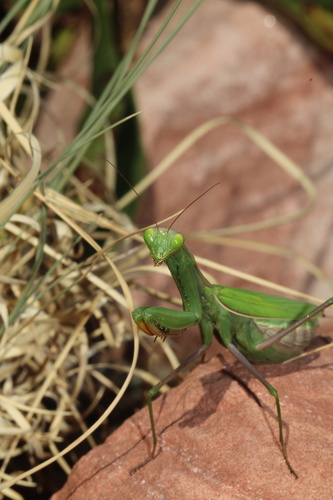
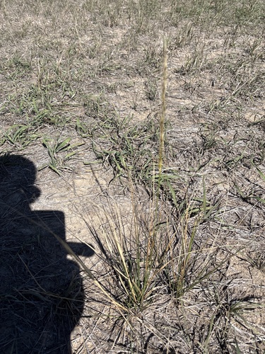
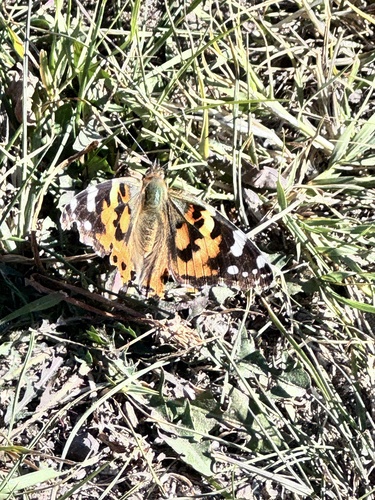
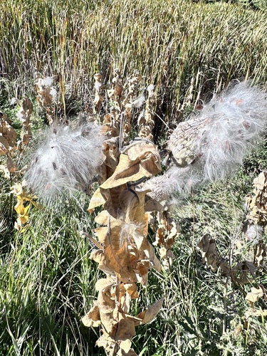
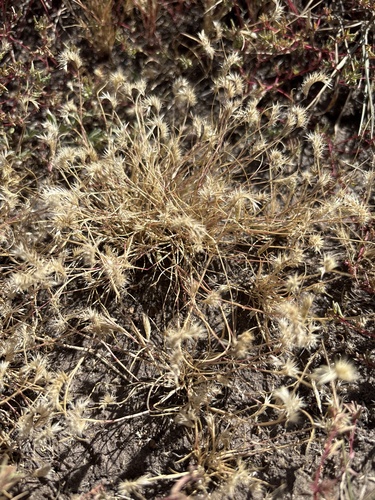
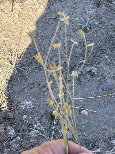
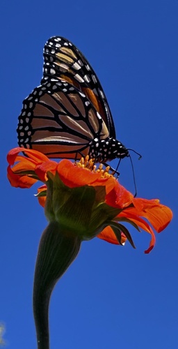
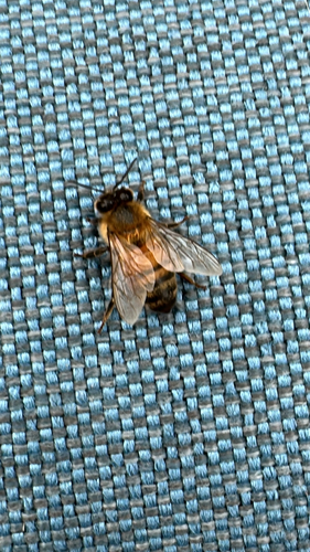
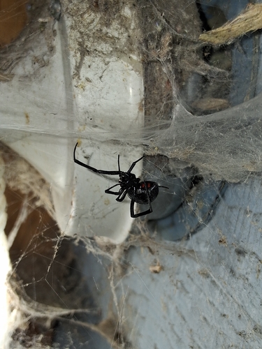
Research-grade observations from iNaturalist (within ~15 mi).
Nearest stream gauge
Events
Gallery
Sources
- • Wikipedia
- • US Census Bureau (ACS 5-year estimates)
- • NOAA National Weather Service
- • Wikidata
- • USGS Earthquake Catalog (global feed)
- • NCES via Urban Institute Education Data Portal
- • GBIF (Global Biodiversity Information Facility)
- • iNaturalist
- • CDC PLACES
- • Open-Meteo / sunrise-sunset.org
- • Wikipedia Pageviews API
- • Open Library
- • NASA EONET