Browse / United States / Wyoming / Chugwater
Chugwater
Wyomingtown

Chugwater
Total population
228
Median home value
$295,000
Bachelor's+
Median income
$68,475
Demographic figures from US Census Bureau · ACS 5-year estimates. Overview below cites Wikipedia and may reference a different year.
- Red Flag Warning · SevereRed Flag Warning issued October 4 at 11:31PM MDT until October 5 at 6:00PM MDT by NWS Cheyenne WY
Source: NOAA National Weather Service.
City facts
Facts from Wikidata (CC0).
Overview
Chugwater is a town in Platte County, Wyoming, United States. As of the 2020 census, the town population was 175. The High Plains town is located 45 miles north of Cheyenne and 25 miles south of Wheatland.
Read more on WikipediaHistory & geography
History
The Chugwater area, with its proximity to Fort Laramie, was visited by some of the earliest Western expeditions, including that of Stephen Watts Kearny in 1845, and cattle were first wintered in the valley as early as 1859. The first settler in the valley is reported to have been James Bordeaux (1814-1878), who opened a general store in 1868, located at the crossroads where the road from Cheyenne forks into the roads leading to Fort Fetterman and to Fort Laramie. In 1884, the Swan Land and Cattle Co. was established, and in 1886, the Cheyenne and Northern Railway was chartered to serve points north of Cheyenne in Wyoming. It was as a result primarily of the Swan Land and Cattle Co., and the railroad, that the town of Chugwater grew up. State Representative Robert Mills Grant was among those who have drove cattle into Chugwater. The former Speaker of the Wyoming House of Representatives, Harold Hellbaum, farmed and ranched in Chugwater. He served in the state legislature from 1963 to 1977, with his last term as Speaker. Some historians hold that the name "Chugwater" is derived from a Mandan account of a bison hunt. According to this narrative, a chief was disabled during the hunt and his son took charge of the hunt or "buffalo jump". Under his direction, hunters drove the bison over nearby cliffs; when the animals reached the ground below, a sound of "chugging" was heard by the hunters. The story concludes with an etymology: since a stream was near the base of the cliffs, the site of the stampede has been called "the place" or "water at the place where the buffalo chug." The iconic black horse named "Steamboat", who was the model for the bucking horse and rider motif on Wyoming license plates, came from the Tyrrell ranch located near Chugwater, and was given to…
Geography
Chugwater is located at (41.755797, -104.825482). According to the United States Census Bureau, the town has a total area of , all land. * - north–south Interstate from New Mexico to Wyoming; runs north–south through Chugwater, concurrent with US 87. * - Alternate Interstate Business Route through Chugwater. * - north–south route through Chugwater, concurrent with I-25. * *
Excerpted from the corresponding Wikipedia article (CC BY-SA).
Demographics & economy
Race & ethnicity
Source: US Census Bureau — American Community Survey, 5-year estimates.
Geography
Coordinates & boundaries from the US Census TIGER/Line shapefiles.
Climate
Current forecast
Forecast for Chugwater, WY from NOAA NWS API.
Air quality
Industrial & pollution facilities
Natural hazard risk
Health (adults)
Age-adjusted prevalence estimates from CDC PLACES (latest release).
Walkability
Amenities nearby
Wildlife & biodiversity
Most-observed species
- Western MeadowlarkSturnella neglecta Audubon, 1844 · Aves67
- European StarlingSturnus vulgaris Linnaeus, 1758 · Aves49
- Mourning DoveZenaida macroura (Linnaeus, 1758) · Aves47
- Horned LarkEremophila alpestris (Linnaeus, 1758) · Aves44
- Common GrackleQuiscalus quiscula (Linnaeus, 1758) · Aves43
- House SparrowPasser domesticus (Linnaeus, 1758) · Aves42
- American RobinTurdus migratorius Linnaeus, 1766 · Aves40
- Cliff SwallowPetrochelidon pyrrhonota (Vieillot, 1817) · Aves32
Citizen-science & research observations from the Global Biodiversity Information Facility (GBIF).
Schools
Largest nearby schools
- Chugwater SchoolOther · Chugwater · 28 students · 5.6:1 ratio
Public K–12 schools within ~10 mi from Urban Institute Education Data Portal (NCES Common Core of Data, 2022).
Earthquake history
Most recent
- M 2.6 — 2025-05-289 km ENE of Glendo, Wyoming
- M 2.7 — 2021-09-1219 km ENE of Hartville, Wyoming
- M 2.8 — 2019-11-2313 km NNE of Laramie, Wyoming
- M 2.9 — 2019-09-0723 km WSW of Esterbrook, Wyoming
- M 3 — 2018-01-067 km SW of Guernsey, Wyoming
- M 2.8 — 2013-12-1933 km NE of Rock River, Wyoming
Events from the USGS Earthquake Catalog (global) (FDSN Event Web Service).
Photos
Sights & places nearby
Notable people from here
Nearby places in Wyoming
- Slater8.6 mi away
- Whiting19.1 mi away · pop. 58
- Y-O Ranch20 mi away
- Chugcreek21 mi away
- Wheatland21.6 mi away
- Lakeview North24.6 mi away
- Westview Circle24.6 mi away · pop. 117
- Veteran26.6 mi away
- Hawk Springs28.8 mi away · pop. 98
- Yoder29.4 mi away · pop. 231
- LaGrange35 mi away · pop. 398
- Fort Laramie35.3 mi away
Geography & sun
Elevation, sunrise/sunset and daylight from Open-Meteo. Solar climatology from NASA POWER.
Nearby airports
Public attention
Pageview totals from the Wikimedia Pageviews API.
Books about Chugwater
Search results from Open Library.
Recent natural events nearby
- Wildfire Moonshine, Albany, WyomingWildfires · 2026-09-07 · 29 mi
- Wildfire Cold Springs, Converse, WyomingWildfires · 2026-08-10 · 75 mi
- Wildfire Rancher fire, Oglala Lakota, South DakotaWildfires · 2026-08-11 · 166 mi
- Wildfire Needles, Oglala Lakota, South DakotaWildfires · 2026-09-04 · 167 mi
- Wildfire XU Hill, Oglala Lakota, South DakotaWildfires · 2026-08-11 · 177 mi
- Wildfire Potato Creek, Jackson, South DakotaWildfires · 2026-08-01 · 187 mi
- Wildfire Montgomery Draw, Campbell, WyomingWildfires · 2026-08-06 · 188 mi
- Wildfire WEISER KNOLL, Fremont, WyomingWildfires · 2026-08-09 · 203 mi
Wildfires, storms and other events from NASA EONET (last 12 months, within 250 mi).
Ground air-quality sensors
Recently spotted species
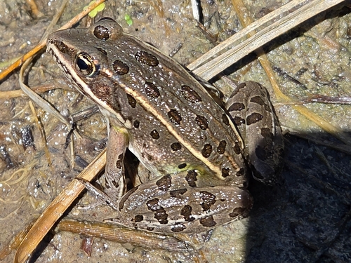
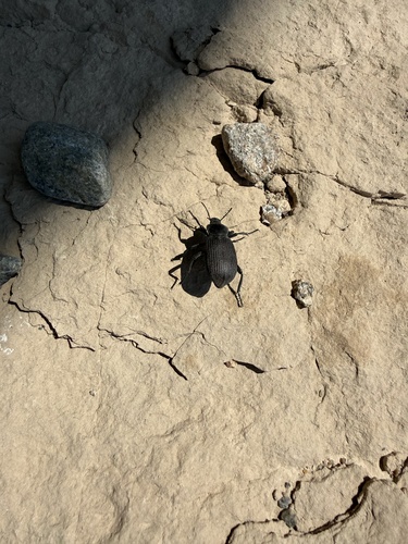
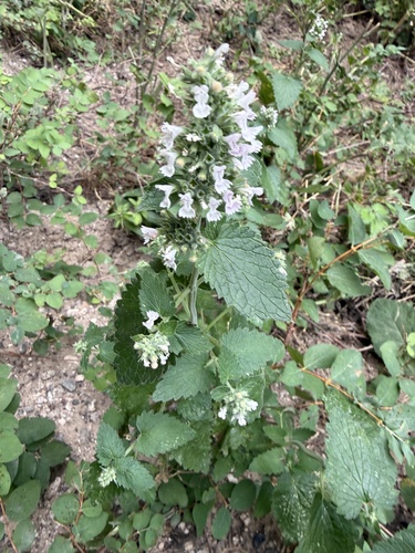
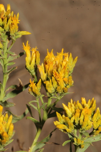
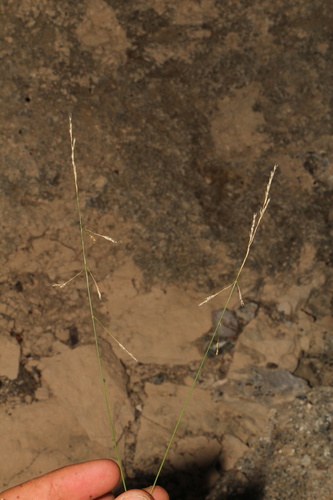
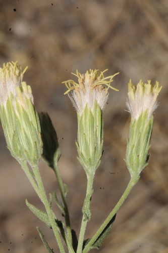
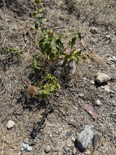
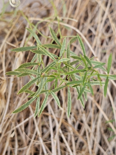
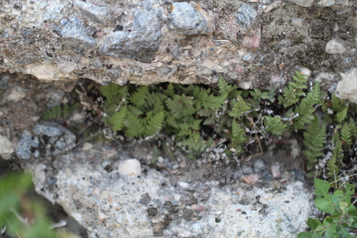
Research-grade observations from iNaturalist (within ~15 mi).
Nearest stream gauge
Events
Gallery
Sources
- • Wikipedia
- • US Census Bureau (ACS 5-year estimates)
- • NOAA National Weather Service
- • Wikidata
- • USGS Earthquake Catalog (global feed)
- • NCES via Urban Institute Education Data Portal
- • GBIF (Global Biodiversity Information Facility)
- • iNaturalist
- • CDC PLACES
- • Open-Meteo / sunrise-sunset.org
- • Wikipedia Pageviews API
- • Open Library
- • NASA EONET