Browse / United States / Wyoming / Wheatland
Wheatland
Wyomingtown

Wheatland
Total population
3,550
Demographic figures from US Census Bureau · ACS 5-year estimates. Overview below cites Wikipedia and may reference a different year.
City facts
Facts from Wikidata (CC0).
Overview
Wheatland is a town in and the county seat of Platte County in southeastern Wyoming, United States. The population was 3,588 at the 2020 census.
Read more on WikipediaHistory & geography
History
Before the late 19th century, the area around the future site of Wheatland was a flat, arid landscape with desert-like vegetation. In 1883, local rancher and judge Joseph M. Carey, along with Horace Plunkett, John Hoyt, Morton Post, Francis E. Warren, William Irvine, and Andrew Gilchrist, established the Wyoming Development Company. The company hoped to irrigate in the Wheatland Flats and profit from new development. By the fall of 1883, an irrigation system was constructed on the Wheatland flats including a 2,380 foot long tunnel to divert water for irrigation into Bluegrass Creek and the first two of the system's canals. The Cheyenne and Northern Railway line reached the Wheatland flats in July 1887, eventually extending to the Wyoming Central Railway at Wendover. The line was eventually sold to the Colorado and Southern Railway, controlled by the Chicago, Burlington, and Quincy Railroad, and operated at Wheatland station. Lots in the town of Wheatland were auctioned in 1894. By 1915, many farms were established in the irrigation district and the population of the flats was 5,277. The Platte County Courthouse was built in Wheatland in 1917. The Wheatland Irrigation District is still the largest privately owned irrigation system in the country.
Geography
Wheatland is located at (42.053917, –104.959460). According to the United States Census Bureau, the town has a total area of , all land.
Excerpted from the corresponding Wikipedia article (CC BY-SA).
Demographics & economy
Geography
Coordinates & boundaries from the US Census TIGER/Line shapefiles.
Climate
Air quality
Industrial & pollution facilities
Natural hazard risk
Health (adults)
Age-adjusted prevalence estimates from CDC PLACES (latest release).
Walkability
Amenities nearby
Wildlife & biodiversity
Schools
Largest nearby schools
- Wheatland High SchoolHigh · Wheatland · 271 students · 12.3:1 ratio
- Libbey ElementaryElementary · Wheatland · 196 students · 10.3:1 ratio
- West ElementaryElementary · Wheatland · 188 students · 13.4:1 ratio
- Wheatland Middle SchoolMiddle · Wheatland · 185 students · 12.3:1 ratio
- Peak High SchoolHigh · Wheatland · 15 students · 7.5:1 ratio
Public K–12 schools within ~10 mi from Urban Institute Education Data Portal (NCES Common Core of Data, 2022).
Earthquake history
Photos
Sights & places nearby
Notable people from here
Nearby places in Wyoming
- Y-O Ranch2.2 mi away · pop. 120
- Chugcreek2.6 mi away · pop. 160
- Whiting3 mi away · pop. 58
- Lakeview North3.1 mi away · pop. 100
- Westview Circle5.6 mi away · pop. 117
- Slater14.9 mi away · pop. 99
- El Rancho15.6 mi away · pop. 47
- Guernsey18.4 mi away · pop. 754
- Chugwater21.6 mi away · pop. 228
- Hartville22.5 mi away · pop. 88
- Fort Laramie25.2 mi away · pop. 252
- Veteran30.1 mi away · pop. 17
Geography & sun
Elevation, sunrise/sunset and daylight from Open-Meteo. Solar climatology from NASA POWER.
Nearby airports
Public attention
Pageview totals from the Wikimedia Pageviews API.
Books about Wheatland

Search results from Open Library.
Recent natural events nearby
- Wildfire Moonshine, Albany, WyomingWildfires · 2026-09-07 · 20 mi
- Wildfire Cold Springs, Converse, WyomingWildfires · 2026-08-10 · 54 mi
- Wildfire Rancher fire, Oglala Lakota, South DakotaWildfires · 2026-08-11 · 159 mi
- Wildfire Needles, Oglala Lakota, South DakotaWildfires · 2026-09-04 · 160 mi
- Wildfire Montgomery Draw, Campbell, WyomingWildfires · 2026-08-06 · 166 mi
- Wildfire XU Hill, Oglala Lakota, South DakotaWildfires · 2026-08-11 · 168 mi
- Wildfire Potato Creek, Jackson, South DakotaWildfires · 2026-08-01 · 180 mi
- Wildfire WEISER KNOLL, Fremont, WyomingWildfires · 2026-08-09 · 191 mi
Wildfires, storms and other events from NASA EONET (last 12 months, within 250 mi).
Ground air-quality sensors
Recently spotted species
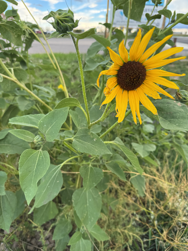
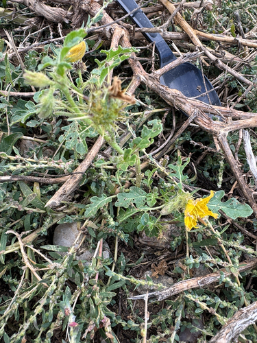
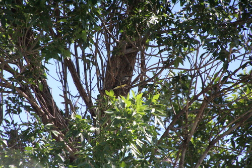
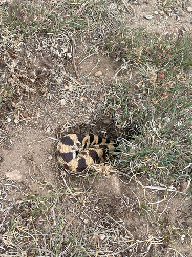
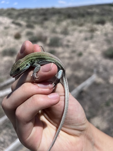
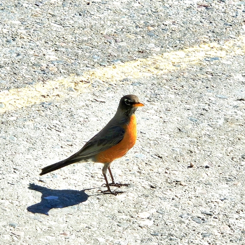
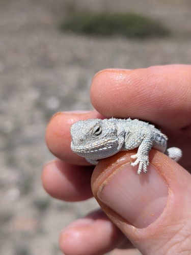
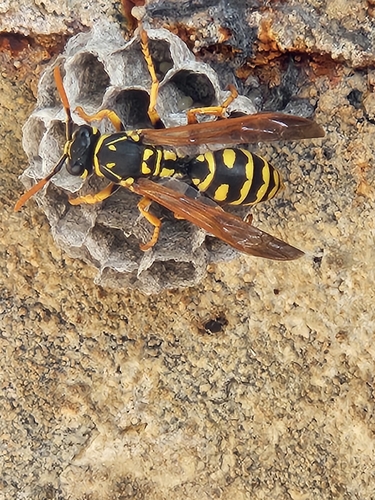
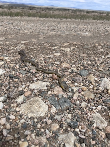
Research-grade observations from iNaturalist (within ~15 mi).
Nearest stream gauge
Events
Gallery
Sources
- • Wikipedia
- • Wikidata
- • NCES via Urban Institute Education Data Portal
- • iNaturalist
- • CDC PLACES
- • Open-Elevation
- • Open-Meteo / sunrise-sunset.org
- • Wikipedia Pageviews API
- • Open Library
- • NASA EONET