Browse / United States / Wyoming / Dayton
Dayton
Wyomingtown

Dayton
Total population
992
Median home value
$333,500
Bachelor's+
Median income
$75,066
Demographic figures from US Census Bureau · ACS 5-year estimates. Overview below cites Wikipedia and may reference a different year.
City facts
Facts from Wikidata (CC0).
Overview
Dayton is a town in Sheridan County, Wyoming, United States. The population was 822 at the 2020 census. The town was incorporated in 1906.
Read more on WikipediaHistory & geography
History
Dayton was a stage stop on the Bozeman Trail. It was named after Joe Dayton Thorn (1861-1942) in 1882 because he was one of the founding fathers of the city. The town claims to have had Wyoming's first rodeo held here in the 1890s. By the early 1900s the town had grown substantially, with three general stores, four saloons, a flour mill, and a stucco factory.
Geography
Dayton is at the confluence of the Tongue and Little Tongue Rivers. It is on U.S. Route 14, just east of the Big Horn Mountains. According to the United States Census Bureau, the town has an area of , all land.
Excerpted from the corresponding Wikipedia article (CC BY-SA).
Demographics & economy
Race & ethnicity
Source: US Census Bureau — American Community Survey, 5-year estimates.
Geography
Coordinates & boundaries from the US Census TIGER/Line shapefiles.
Climate
Current forecast
Forecast for Dayton, WY from NOAA NWS API.
Air quality
Industrial & pollution facilities
Natural hazard risk
Health (adults)
Age-adjusted prevalence estimates from CDC PLACES (latest release).
Walkability
Amenities nearby
Wildlife & biodiversity
Schools
Largest nearby schools
- Tongue River High SchoolHigh · Dayton · 258 students · 17.2:1 ratio
- Tongue River ElementaryElementary · Ranchester · 230 students · 12.8:1 ratio
- Tongue River Middle SchoolMiddle · Ranchester · 159 students · 14.5:1 ratio
- Slack ElementaryElementary · Ranchester · 25 students · 12.5:1 ratio
- The Bridge SchoolHigh · Dayton · 7 students · 2.3:1 ratio
Public K–12 schools within ~10 mi from Urban Institute Education Data Portal (NCES Common Core of Data, 2022).
Earthquake history
Photos
Sights & places nearby
Notable people from here
Nearby places in Wyoming
- Ranchester5.2 mi away · pop. 1,277
- Parkman6.3 mi away · pop. 389
- Sheridan15.6 mi away
- Big Horn18.7 mi away · pop. 259
- Powder Horn19 mi away
- Story26.9 mi away · pop. 1,054
- Shell34.7 mi away
- Buffalo45.7 mi away · pop. 4,572
- Clearmont46.1 mi away · pop. 104
- Hyattville46.4 mi away
- Greybull47.3 mi away
- Basin51.5 mi away · pop. 1,290
Geography & sun
Elevation, sunrise/sunset and daylight from Open-Meteo. Solar climatology from NASA POWER.
Nearby airports
Public attention
Pageview totals from the Wikimedia Pageviews API.
Books about Dayton

Search results from Open Library.
Recent natural events nearby
- Wildfire Harris, Rosebud, MontanaWildfires · 2026-08-09 · 38 mi
- Wildfire Lumin, Sheridan, WyomingWildfires · 2026-07-31 · 42 mi
- Wildfire Davis Coulee, Big Horn, MontanaWildfires · 2026-09-14 · 49 mi
- Wildfire Sarpy, Big Horn, MontanaWildfires · 2026-08-17 · 59 mi
- Wildfire Montgomery Draw, Campbell, WyomingWildfires · 2026-08-06 · 78 mi
- Wildfire Windmill, Stillwater, MontanaWildfires · 2026-08-19 · 128 mi
- Wildfire Snow, Custer, MontanaWildfires · 2026-09-02 · 150 mi
- Incident Complex Rattlesnake Complex, Prairie, MontanaWildfires · 2026-09-04 · 163 mi
Wildfires, storms and other events from NASA EONET (last 12 months, within 250 mi).
Ground air-quality sensors
Recently spotted species

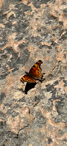
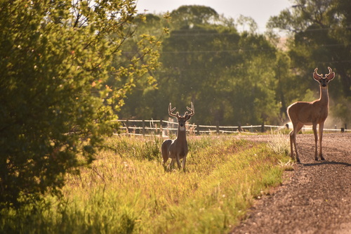
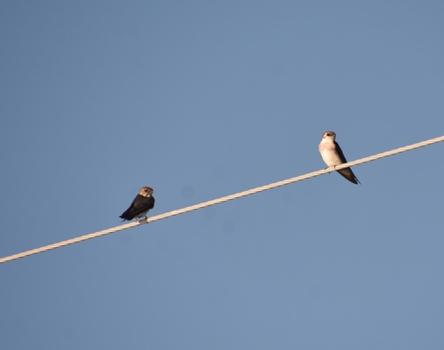
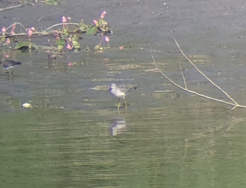
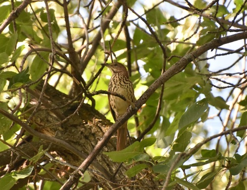
Research-grade observations from iNaturalist (within ~15 mi).
Nearest stream gauge
Live readings from USGS NWIS · measured 2026-09-26 10:00 UTC.
Events
Gallery
Sources
- • Wikipedia
- • US Census Bureau (ACS 5-year estimates)
- • NOAA National Weather Service
- • Wikidata
- • USGS NWIS (water data)
- • NCES via Urban Institute Education Data Portal
- • iNaturalist
- • CDC PLACES
- • Open-Meteo / sunrise-sunset.org
- • Wikipedia Pageviews API
- • Open Library
- • NASA EONET
- • Wikidata SPARQL (CC0) — population, area, elevation, inception, head of government, Commons image