Browse / United States / Wyoming / Big Horn
Big Horn
WyomingCDP

Big Horn
Total population
259
Demographic figures from US Census Bureau · ACS 5-year estimates. Overview below cites Wikipedia and may reference a different year.
City facts
Facts from Wikidata (CC0).
Overview
Big Horn is an unincorporated community and census-designated place (CDP) in Sheridan County, Wyoming, United States. The population was 457 at the 2020 census.
Read more on WikipediaHistory & geography
History
Big Horn is along the valley of Little Goose Creek. From 1866 to 1868, the military cutoff route of the Bozeman Trail crossed Little Goose Creek, where Big Horn was later located. The trail was used by travelers going to gold fields in Montana, but was plagued by Lakota attacks under Red Cloud. Fort Phil Kearny was established on Piney Creek, but continued harassment by the Lakota led to its abandonment and the withdrawal of the U.S. Army from the Powder River Country under the Fort Laramie Treaty of 1868. According to local historian Glenn Sweem, the main route of the Bozeman Trail did not pass through the site where Big Horn was later founded. It lay farther to the east and followed Prairie Dog Creek, eventually leaving that drainage and taking a course now occupied by 5th Street in Sheridan. From there the trail crossed Goose Creek and continued out Soldier Creek to present-day Keystone Road, eventually crossing Tongue River between where Ranchester and Dayton, Wyoming, were later located. Little Goose Creek was the site of General George Crook's camp after the Battle of the Rosebud against the Sioux and Cheyenne on June 17, 1876. Crook was fishing in the Bighorn Mountains on Tepee Creek while General George Custer fell to the Lakota and Cheyenne at the Little Bighorn, to the north. The first settler in the Big Horn area was Oliver Perry Hanna, an adventurer, prospector, buffalo hunter, and Indian fighter who built a cabin on Hanna Creek in 1878. During the winter of 1878–79, he rode his horse north on the frozen Tongue River to hunt buffalo in the Yellowstone River Country. He participated in the massive hide harvest that wiped out the buffalo on the northern plains. His published recollections told of entire steamships loaded with buffalo hides floating down…
Geography
Big Horn is on the eastern slope of the Big Horn Mountains, along Little Goose Creek, a tributary of the Tongue River. According to the United States Census Bureau, the CDP has an area of 1.8 square miles (4.7 km2), all land. According to the Köppen Climate Classification system, Big Horn has a semi-arid climate, abbreviated "BSk" on climate maps.
Excerpted from the corresponding Wikipedia article (CC BY-SA).
Demographics & economy
Geography
Coordinates & boundaries from the US Census TIGER/Line shapefiles.
Climate
Current forecast
Forecast for Big Horn, WY from NOAA NWS API.
Air quality
Industrial & pollution facilities
Natural hazard risk
Health (adults)
Age-adjusted prevalence estimates from CDC PLACES (latest release).
Walkability
Amenities nearby
Wildlife & biodiversity
Most-observed species
- Black-capped ChickadeePoecile atricapillus (Linnaeus, 1766) · Aves1,507
- American RobinTurdus migratorius Linnaeus, 1766 · Aves1,483
- House FinchHaemorhous mexicanus (P.L.Statius Müller, 1776) · Aves1,407
- Black-billed MagpiePica hudsonia (Sabine, 1823) · Aves1,234
- Red-winged BlackbirdAgelaius phoeniceus (Linnaeus, 1766) · Aves1,177
- European StarlingSturnus vulgaris Linnaeus, 1758 · Aves1,029
- Eurasian Collared-DoveStreptopelia decaocto (Frivaldszky, 1838) · Aves1,026
- Northern FlickerColaptes auratus (Linnaeus, 1758) · Aves1,008
Citizen-science & research observations from the Global Biodiversity Information Facility (GBIF).
Schools
Largest nearby schools
- Sheridan High SchoolHigh · Sheridan · 1,092 students · 16.3:1 ratio
- Sheridan Junior High SchoolMiddle · Sheridan · 843 students · 14.8:1 ratio
- Sagebrush ElementaryElementary · Sheridan · 326 students · 11.2:1 ratio
- Meadowlark ElementaryElementary · Sheridan · 314 students · 13.7:1 ratio
- Henry A. Coffeen ElementaryElementary · Sheridan · 302 students · 11.6:1 ratio
- Woodland Park ElementaryElementary · Sheridan · 298 students · 12.4:1 ratio
- Highland Park ElementaryElementary · Sheridan · 295 students · 14:1 ratio
- Big Horn ElementaryElementary · Big Horn · 208 students · 13:1 ratio
Public K–12 schools within ~10 mi from Urban Institute Education Data Portal (NCES Common Core of Data, 2022).
Earthquake history
Most recent
- M 3.5 — 2026-05-2930 km NNE of Ranchester, Wyoming
- M 3.5 — 2026-04-2831 km NE of Ranchester, Wyoming
- M 2.6 — 2026-04-2729 km NE of Ranchester, Wyoming
- M 2.6 — 2026-03-3026 km ENE of Ranchester, Wyoming
- M 3.4 — 2026-03-2733 km NE of Ranchester, Wyoming
- M 3.1 — 2026-02-2628 km NE of Ranchester, Wyoming
Events from the USGS Earthquake Catalog (global) (FDSN Event Web Service).
Photos
Sights & places nearby
Notable people from here
People born within ~10 km, from Wikidata (CC0). Click any name for their Wikipedia article.
Nearby places in Wyoming
- Powder Horn1.5 mi away · pop. 702
- Sheridan8.3 mi away · pop. 19,285
- Story8.4 mi away · pop. 1,054
- Ranchester17.9 mi away · pop. 1,277
- Dayton18.7 mi away · pop. 992
- Parkman24.7 mi away · pop. 389
- Buffalo27.3 mi away · pop. 4,572
- Clearmont30.4 mi away · pop. 104
- Shell40 mi away · pop. 36
- Arvada42 mi away · pop. 10
- Hyattville42.5 mi away · pop. 47
- Ten Sleep49.8 mi away · pop. 239
Geography & sun
Elevation, sunrise/sunset and daylight from Open-Meteo. Solar climatology from NASA POWER.
Nearby airports
Public attention
Pageview totals from the Wikimedia Pageviews API.
Books about Big Horn
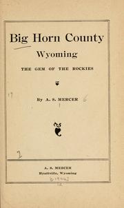
Search results from Open Library.
Recent natural events nearby
- Wildfire Lumin, Sheridan, WyomingWildfires · 2026-07-31 · 31 mi
- Wildfire Harris, Rosebud, MontanaWildfires · 2026-08-09 · 40 mi
- Wildfire Montgomery Draw, Campbell, WyomingWildfires · 2026-08-06 · 60 mi
- Wildfire Davis Coulee, Big Horn, MontanaWildfires · 2026-09-14 · 67 mi
- Wildfire Sarpy, Big Horn, MontanaWildfires · 2026-08-17 · 76 mi
- Wildfire Windmill, Stillwater, MontanaWildfires · 2026-08-19 · 147 mi
- Wildfire Snow, Custer, MontanaWildfires · 2026-09-02 · 153 mi
- Wildfire Cold Springs, Converse, WyomingWildfires · 2026-08-10 · 155 mi
Wildfires, storms and other events from NASA EONET (last 12 months, within 250 mi).
Ground air-quality sensors
Recently spotted species
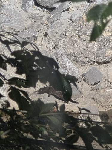
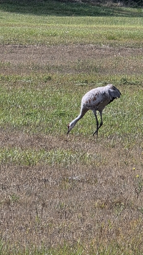
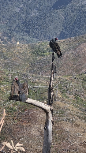


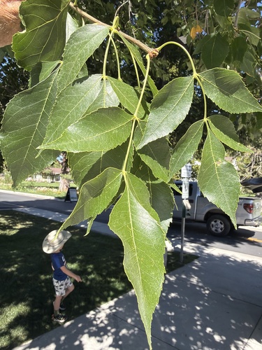
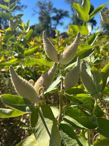
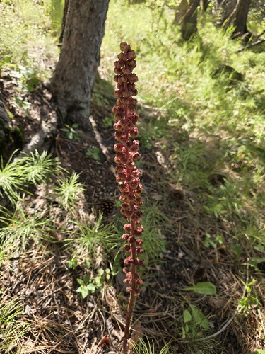
Research-grade observations from iNaturalist (within ~15 mi).
Nearest stream gauge
Events
Gallery
Sources
- • Wikipedia
- • NOAA National Weather Service
- • Wikidata
- • USGS Earthquake Catalog (global feed)
- • NCES via Urban Institute Education Data Portal
- • GBIF (Global Biodiversity Information Facility)
- • iNaturalist
- • CDC PLACES
- • Open-Meteo / sunrise-sunset.org
- • Wikipedia Pageviews API
- • Open Library
- • NASA EONET