Browse / United States / Wyoming / Dubois
Dubois
Wyomingtown

Dubois
Total population
801
Median home value
$303,600
Bachelor's+
Median income
$59,571
Demographic figures from US Census Bureau · ACS 5-year estimates. Overview below cites Wikipedia and may reference a different year.
City facts
Facts from Wikidata (CC0).
Overview
Dubois is a town in Fremont County, Wyoming, United States. The population was 971 at the 2010 census, but dropped to 911 in the 2020 census.
Read more on WikipediaHistory & geography
History
The original residents of Dubois wanted to name the town Tibo, after the Shoshone language word for "stranger" or "white man," which was the Natives' affectionate name for their Episcopal priest, Father John Roberts. However, the postal service found this name unacceptable, so Governor Joseph M. Carey chose Dubois after his friend Fred Dubois, an Idaho senator at the time. In protest, the citizens of Dubois rejected the French pronunciation of "deh-bwah", instead opting for Du, with u as in "Sue"; bois, with oi as in "voice". This local legend is most likely not true as the town in Idaho, named after the same Idaho Senator, is pronounced the same way as the town in Wyoming. The accent is on the first syllable. The first occupants of the mountains and valleys surrounding what is now Dubois were members of the Sheepeaters, a group of Mountain Shoshone. They included the Wind River area in their regular annual migrations from the Great Plains through the mountains of Yellowstone and beyond. The Wind River Valley surrounding Dubois contains numerous remnants of these people who lived in the area for many hundreds of years before they were relocated into a nearby reservation. Relics of their existence in the mountains and valleys around Dubois include numerous prehistoric petroglyphs, hunting traps and blinds, and stone tepee circles. The first Europeans to enter the area were trappers Francois and Louis Verendrye in 1742–43. In the years to follow, the Wind River valley was visited regularly by the Astorians and other fur trappers and hunters through the early 19th century. The first homesteaders arrived in the late 1870s. It is said that he was a frequent customer at Welty's General Store in Dubois, which is still in operation. A statue erected in the center of Dubois…
Geography
The town is on U.S. Route 26 and is the beginning of the Wyoming Centennial Scenic Byway, U.S. Route 26 crossing the Continental Divide at Togwotee Pass. Dubois is located at (43.535936, -109.635915) and an elevation of 2115 m (6940 ft). The Wind River runs through the town. According to the United States Census Bureau, the town has a total area of , of which is land and is water.
Excerpted from the corresponding Wikipedia article (CC BY-SA).
Demographics & economy
Race & ethnicity
Source: US Census Bureau — American Community Survey, 5-year estimates.
Geography
Coordinates & boundaries from the US Census TIGER/Line shapefiles.
Climate
10-year averages from ERA5 reanalysis (Open-Meteo).
Current forecast
Forecast for Dubois, WY from NOAA NWS API.
Air quality
Industrial & pollution facilities
Natural hazard risk
Health (adults)
Age-adjusted prevalence estimates from CDC PLACES (latest release).
Walkability
Amenities nearby
Wildlife & biodiversity
Most-observed species
- Black-billed MagpiePica hudsonia (Sabine, 1823) · Aves694
- American RobinTurdus migratorius Linnaeus, 1766 · Aves638
- House SparrowPasser domesticus (Linnaeus, 1758) · Aves458
- Yellow WarblerSetophaga petechia (Linnaeus, 1766) · Aves397
- Common RavenCorvus corax Linnaeus, 1758 · Aves373
- Violet-green SwallowTachycineta thalassina (Swainson, 1827) · Aves360
- Mountain BluebirdSialia currucoides (Bechstein, 1798) · Aves339
- Black-capped ChickadeePoecile atricapillus (Linnaeus, 1766) · Aves330
Citizen-science & research observations from the Global Biodiversity Information Facility (GBIF).
Schools
Largest nearby schools
- Dubois ElementaryElementary · Dubois · 89 students · 9.9:1 ratio
- Dubois High SchoolHigh · Dubois · 53 students · 10.6:1 ratio
- Dubois Middle SchoolMiddle · Dubois · 40 students · 13.3:1 ratio
Public K–12 schools within ~10 mi from Urban Institute Education Data Portal (NCES Common Core of Data, 2022).
Earthquake history
Most recent
- M 2.67 — 2026-09-0757 km NE of Kelly, Wyoming
- M 3.44 — 2026-09-0757 km NE of Kelly, Wyoming
- M 2.6 — 2026-08-165 km NNW of Jackson, Wyoming
- M 2.6 — 2026-07-1820 km ENE of Pinedale, Wyoming
- M 3.1 — 2026-04-0626 km ESE of Kelly, Wyoming
- M 2.9 — 2025-09-2825 km SW of Fort Washakie, Wyoming
Events from the USGS Earthquake Catalog (global) (FDSN Event Web Service).
Photos
Sights & places nearby
Notable people from here
People born within ~10 km, from Wikidata (CC0). Click any name for their Wikipedia article.
Nearby places in Wyoming
Geography & sun
Elevation, sunrise/sunset and daylight from Open-Meteo. Solar climatology from NASA POWER.
Nearby airports
Public attention
Pageview totals from the Wikimedia Pageviews API.
Books about Dubois


Search results from Open Library.
Recent natural events nearby
- Wildfire Bare, Sublette, WyomingWildfires · 2026-08-04 · 69 mi
- Wildfire WEISER KNOLL, Fremont, WyomingWildfires · 2026-08-09 · 82 mi
- Wildfire PK, Sheridan, WyomingWildfires · 2026-10-09 · 146 mi
- Wildfire Windmill, Stillwater, MontanaWildfires · 2026-08-19 · 158 mi
- Wildfire Davis Coulee, Big Horn, MontanaWildfires · 2026-09-14 · 170 mi
- Wildfire Johnson Canyon, Box Elder, UtahWildfires · 2026-08-01 · 178 mi
- Wildfire Roe 2, Beaverhead, MontanaWildfires · 2026-08-27 · 182 mi
- Wildfire Sarpy, Big Horn, MontanaWildfires · 2026-08-17 · 184 mi
Wildfires, storms and other events from NASA EONET (last 12 months, within 250 mi).
Ground air-quality sensors
Recently spotted species
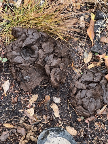
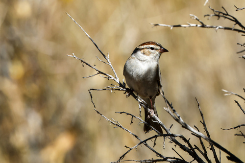
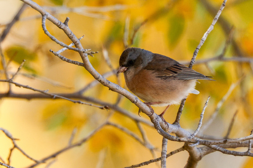
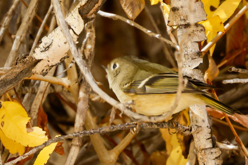
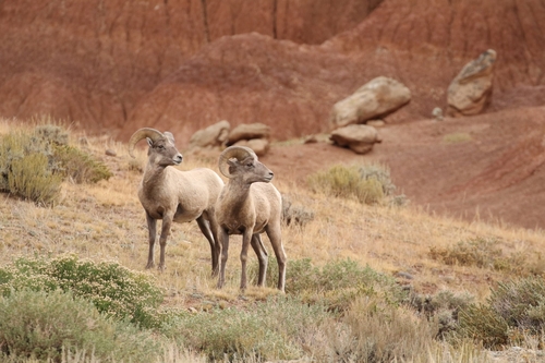
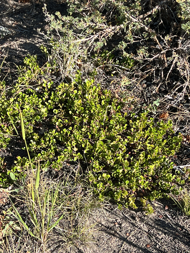
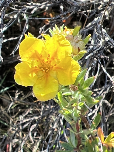
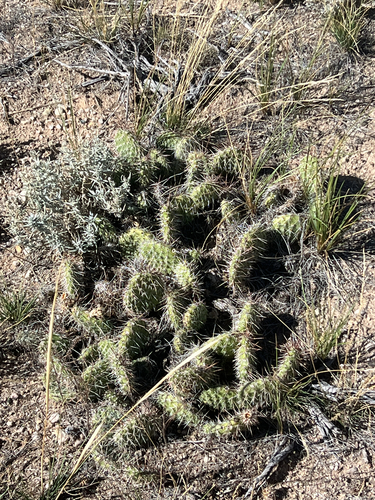
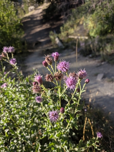
Research-grade observations from iNaturalist (within ~15 mi).
Nearest stream gauge
Events
Gallery
Geotagged photos within ~6 miles of Dubois, from Wikimedia Commons contributors.
.jpg) 1.1 mi
1.1 mi.jpg) 1.1 mi
1.1 mi 1.1 mi
 1.1 mi
.jpg) 1.1 mi
1.1 mi 1.6 mi
.jpg) 2.2 mi
2.2 mi.jpg) 2.2 mi
2.2 mi.jpg) 2.2 mi
2.2 mi.jpg) 2.2 mi
2.2 mi.jpg) 2.2 mi
2.2 mi.jpg) 2.2 mi
2.2 mi.jpg) 2.2 mi
2.2 mi.jpg) 2.2 mi
2.2 mi.jpg) 2.2 mi
2.2 mi 3.1 mi
 4 mi
4 mi 4 mi
4 mi 4 mi
4 mi.jpg) 4 mi
4 mi 4.4 mi
 4.4 mi
 4.4 mi
 4.4 mi
Photos via Wikimedia Commons — see each image page for license & attribution.
Sources
- • Wikipedia
- • US Census Bureau (ACS 5-year estimates)
- • Open-Meteo (ERA5 reanalysis)
- • NOAA National Weather Service
- • Wikimedia Commons
- • Wikidata
- • USGS Earthquake Catalog (global feed)
- • NCES via Urban Institute Education Data Portal
- • GBIF (Global Biodiversity Information Facility)
- • iNaturalist
- • CDC PLACES
- • Open-Meteo / sunrise-sunset.org
- • Wikipedia Pageviews API
- • Open Library
- • NASA EONET
- • Wikidata SPARQL (CC0) — population, area, elevation, inception, head of government, Commons image