Browse / United States / Wyoming / Pinedale
Pinedale
Wyomingtown

Pinedale
Total population
2,048
Median home value
$319,200
Bachelor's+
Median income
$58,500
Demographic figures from US Census Bureau · ACS 5-year estimates. Overview below cites Wikipedia and may reference a different year.
City facts
Facts from Wikidata (CC0).
Overview
Pinedale is a town in and the county seat of Sublette County, Wyoming, United States. The population was 2,005 at the 2020 census. Pinedale is an important hunting outfitting town and a gateway to the Wind River Range. Additionally, Pinedale is near several large natural gas fields, including the Pinedale Anticline and Jonah Field. Attractions include the Museum of the Mountain Man, Green River Rendezvous Days, White Pine Ski Area, the Pinedale Aquatic Center and the Town Park System along the Pine Creek Corridor in the middle of town.
Read more on WikipediaHistory & geography
Geography
Pinedale is located at (42.866162, −109.864622) and sits at an elevation of 7,175 feet above sea level. According to the United States Census Bureau, the town has a total area of , all land. There are 1,300 lakes around the Pinedale area. Fremont Lake, four miles from Pinedale, is the most commonly used lake, and Wyoming's second largest natural lake. Pine Creek flows from nearby Fremont Lake through the town on its way to the Green River. Pinedale has a humid continental climate (Köppen Dfb) with summers featuring warm afternoons and cold mornings, plus very cold, dry winters. The average January low is , on average 46.3 mornings fall to or below and between 1991 and 2020, the temperature dropped to in an average year. The coldest temperature on record since records started in 1948 is during the bitter cold wave of December 1990. Although the winters are dry, there is enough moisture in the cold air for of snow during a typical winter, with the range being from between July 2016 and June 2017 to between July 1962 and June 1963. Pinedale and the surrounding area are home to a large population of wildlife including both grizzly and black bear, moose, elk, pronghorn, mule deer, whitetail deer, bighorn sheep, and mountain lions. Over seven species of trout, including rainbow and brown can be found in the area lakes.
Excerpted from the corresponding Wikipedia article (CC BY-SA).
Demographics & economy
Race & ethnicity
Source: US Census Bureau — American Community Survey, 5-year estimates.
Geography
Coordinates & boundaries from the US Census TIGER/Line shapefiles.
Climate
Current forecast
Forecast for Pinedale, WY from NOAA NWS API.
Air quality
Industrial & pollution facilities
Natural hazard risk
Health (adults)
Age-adjusted prevalence estimates from CDC PLACES (latest release).
Walkability
Amenities nearby
Wildlife & biodiversity
Schools
Largest nearby schools
- Pinedale ElementaryElementary · Pinedale · 471 students · 12.1:1 ratio
- Pinedale High SchoolHigh · Pinedale · 340 students · 15.5:1 ratio
- Pinedale Middle SchoolMiddle · Pinedale · 247 students · 13.7:1 ratio
- Skyline High SchoolHigh · Pinedale · 30 students · 6:1 ratio
Public K–12 schools within ~10 mi from Urban Institute Education Data Portal (NCES Common Core of Data, 2022).
Earthquake history
Photos
Sights & places nearby
Notable people from here
People born within ~10 km, from Wikidata (CC0). Click any name for their Wikipedia article.
Nearby places in Wyoming
- Cora8.7 mi away · pop. 58
- Daniel10.4 mi away · pop. 148
- Boulder11.8 mi away
- Marbleton24.4 mi away · pop. 967
- Big Piney25.9 mi away · pop. 575
- Bondurant35.1 mi away · pop. 289
- La Barge45.1 mi away · pop. 337
- Crowheart45.9 mi away · pop. 115
- Dubois48.2 mi away · pop. 801
- Fort Washakie49 mi away · pop. 1,219
- Turnerville52.2 mi away · pop. 463
- Hoback53.6 mi away · pop. 1,316
Geography & sun
Elevation, sunrise/sunset and daylight from Open-Meteo. Solar climatology from NASA POWER.
Nearby airports
Public attention
Pageview totals from the Wikimedia Pageviews API.
Books about Pinedale
Search results from Open Library.
Recent natural events nearby
- Wildfire Bare, Sublette, WyomingWildfires · 2026-08-04 · 32 mi
- Wildfire WEISER KNOLL, Fremont, WyomingWildfires · 2026-08-09 · 66 mi
- Wildfire Big Rock, Jefferson, IdahoWildfires · 2026-07-31 · 105 mi
- Wildfire Johnson Canyon, Box Elder, UtahWildfires · 2026-08-01 · 142 mi
- Prescribed Fire Bear River MBR Unit 2c RX, Box Elder, UtahWildfires · 2026-09-18 · 158 mi
- Wildfire Lake Channel, Power, IdahoWildfires · 2026-07-29 · 160 mi
- Wildfire Salt Wells, Box Elder, UtahWildfires · 2026-08-21 · 161 mi
- Wildfire Rocky Canyon, Morgan, UtahWildfires · 2026-08-07 · 161 mi
Wildfires, storms and other events from NASA EONET (last 12 months, within 250 mi).
Ground air-quality sensors
Recently spotted species
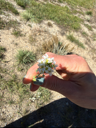
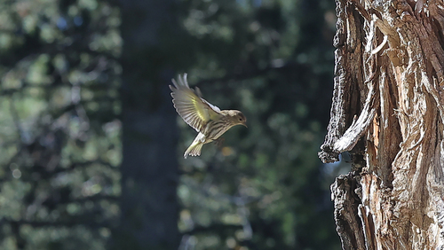
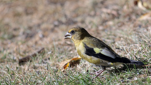
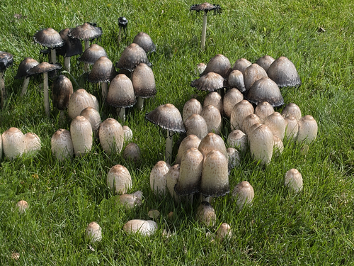
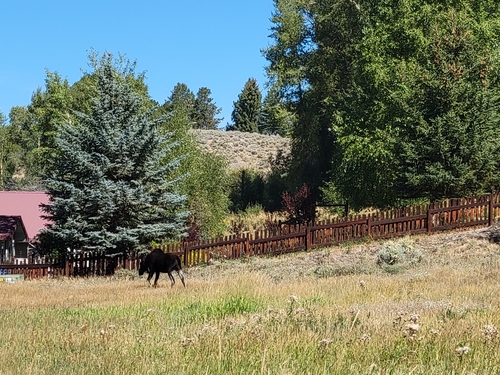
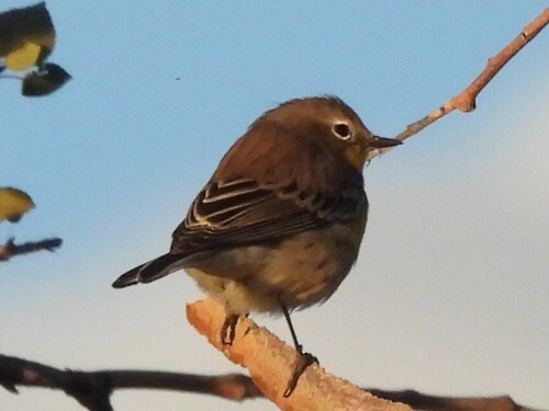
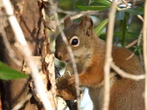
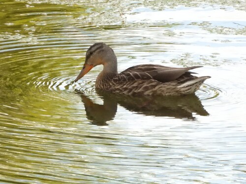
Research-grade observations from iNaturalist (within ~15 mi).
Nearest stream gauge
Live readings from USGS NWIS · measured 2026-09-18 04:00 UTC.
Events
Gallery
Sources
- • Wikipedia
- • US Census Bureau (ACS 5-year estimates)
- • NOAA National Weather Service
- • Wikidata
- • USGS NWIS (water data)
- • NCES via Urban Institute Education Data Portal
- • iNaturalist
- • CDC PLACES
- • Open-Meteo / sunrise-sunset.org
- • Wikipedia Pageviews API
- • Open Library
- • NASA EONET