Browse / United States / Wyoming / Shoshoni
Shoshoni
Wyomingtown

Shoshoni
Total population
677
Median home value
$112,500
Bachelor's+
Median income
$57,096
Demographic figures from US Census Bureau · ACS 5-year estimates. Overview below cites Wikipedia and may reference a different year.
City facts
Facts from Wikidata (CC0).
Overview
Shoshoni is a town in Fremont County, Wyoming, United States. The population was 471 at the 2020 census, a 27.4% decline from 649 at the 2010 census. The town has gained notoriety as a speed trap due to numerous references citing its aggressive enforcement of traffic laws. According to available data, the town has a 32% ticket to resident rate, suggesting a disproportionate number of traffic tickets issued to drivers passing through the area. This has led to criticism and controversy surrounding the town's policing practices.
Read more on WikipediaHistory & geography
History
The town is named for the Shoshone Indian tribe, most of whom live on the nearby Wind River Indian Reservation. Established as a railroad and mining town, Shoshoni lies at the intersection of U.S. Routes 20 and 26, which together were formerly known as the "Yellowstone Highway". Shoshoni has a dramatic increase in visitors in the summer, when roads to Yellowstone National Park are open. Visitors also stop to camp and fish at nearby Boysen Reservoir and the surrounding Boysen State Park. Anglers participate in fishing derbies at the reservoir, including an ice fishing derby in the winter. Ranching is, and has been for decades, the major agricultural endeavor in the nearby area. Charles Henry King, a prominent millionaire businessman and banker later based in Omaha, Nebraska, built the C.H. King Company and First Union Bank Building, formerly occupied by Yellowstone Drug Store. The building is listed on the National Register of Historic Places. King and his wife Martha were the paternal grandparents of President Gerald Ford, who was born in their Omaha house in July 1913. In 2004 a water-intensive mushroom processing plant began operation on land that was annexed by the town and put within its limits. At first it was staffed by prison labor, who were paid minimum wage, in a prison industries program. When they had trouble with production, the plant hired skilled labor from Guatemala. This labor practice stopped when a Department of Homeland Security investigation revealed that some of the workers had problems with their immigration histories. More recently, the plant has ensured all migrant workers are legal. During operations, the plant's composting bunkers emitted unpleasant odors, resulting in numerous complaints from residents during 2005. The Wyoming Department…
Geography
According to the United States Census Bureau, the town has a total area of , all land. According to the Köppen Climate Classification system, Shoshoni has a cold desert climate, abbreviated "BWk" on climate maps. The hottest temperature recorded in Shoshoni was on July 16, 1935, and July 10, 1939, while the coldest temperature recorded was on January 5, 1942. |source 2 = National Weather Service (mean maxima and minima 2006–2020) }}
Excerpted from the corresponding Wikipedia article (CC BY-SA).
Demographics & economy
Race & ethnicity
Source: US Census Bureau — American Community Survey, 5-year estimates.
Geography
Coordinates & boundaries from the US Census TIGER/Line shapefiles.
Climate
Current forecast
Forecast for Shoshoni, WY from NOAA NWS API.
Air quality
Industrial & pollution facilities
Natural hazard risk
Health (adults)
Age-adjusted prevalence estimates from CDC PLACES (latest release).
Walkability
Amenities nearby
Wildlife & biodiversity
Schools
Largest nearby schools
- Shoshoni ElementaryElementary · Shoshoni · 198 students · 9.9:1 ratio
- Shoshoni High SchoolHigh · Shoshoni · 116 students · 9.7:1 ratio
- Shoshoni Junior High SchoolMiddle · Shoshoni · 70 students · 14:1 ratio
Public K–12 schools within ~10 mi from Urban Institute Education Data Portal (NCES Common Core of Data, 2022).
Earthquake history
Photos
Sights & places nearby
Notable people from here

People born within ~10 km, from Wikidata (CC0). Click any name for their Wikipedia article.
Nearby places in Wyoming
- Riverton20.1 mi away · pop. 10,856
- Arapahoe24.3 mi away · pop. 1,240
- East Thermopolis28.4 mi away · pop. 192
- Thermopolis28.8 mi away · pop. 2,709
- Pavillion29.3 mi away · pop. 318
- Johnstown30.6 mi away · pop. 253
- Hudson33.4 mi away · pop. 401
- Lucerne33.4 mi away · pop. 567
- Ethete35.1 mi away
- Kirby39.2 mi away · pop. 60
- Boulder Flats41.4 mi away · pop. 564
- Lander43.3 mi away · pop. 7,432
Geography & sun
Elevation, sunrise/sunset and daylight from Open-Meteo. Solar climatology from NASA POWER.
Nearby airports
Public attention
Pageview totals from the Wikimedia Pageviews API.
Books about Shoshoni

Search results from Open Library.
Recent natural events nearby
- Wildfire WEISER KNOLL, Fremont, WyomingWildfires · 2026-08-09 · 49 mi
- Wildfire Bare, Sublette, WyomingWildfires · 2026-08-04 · 125 mi
- Wildfire Cold Springs, Converse, WyomingWildfires · 2026-08-10 · 137 mi
- Wildfire Montgomery Draw, Campbell, WyomingWildfires · 2026-08-06 · 137 mi
- Wildfire Lumin, Sheridan, WyomingWildfires · 2026-07-31 · 138 mi
- Wildfire Harris, Rosebud, MontanaWildfires · 2026-08-09 · 154 mi
- Wildfire Davis Coulee, Big Horn, MontanaWildfires · 2026-09-14 · 161 mi
- Wildfire Moonshine, Albany, WyomingWildfires · 2026-09-07 · 167 mi
Wildfires, storms and other events from NASA EONET (last 12 months, within 250 mi).
Ground air-quality sensors
Recently spotted species
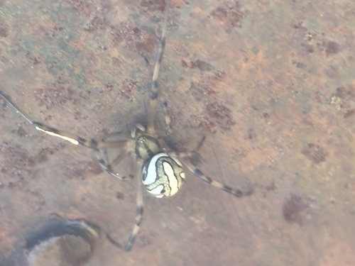
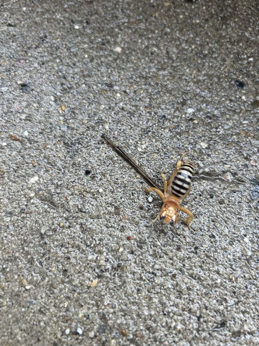
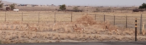
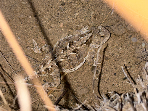
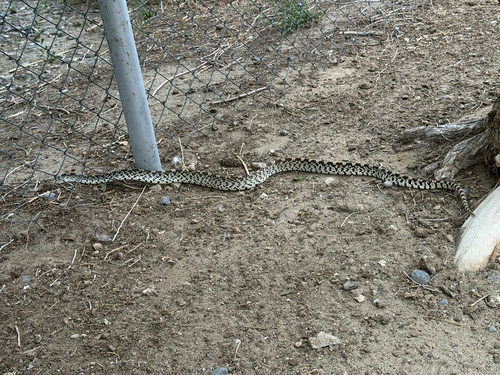
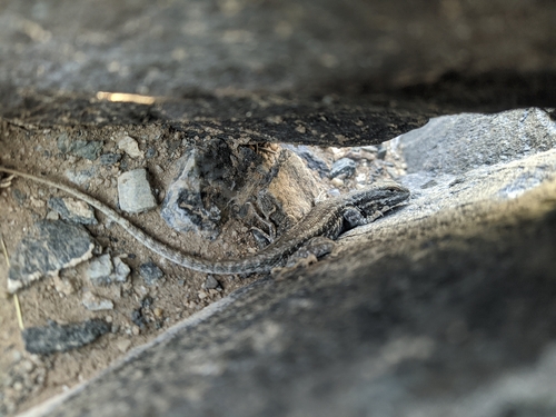
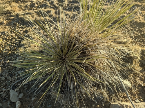
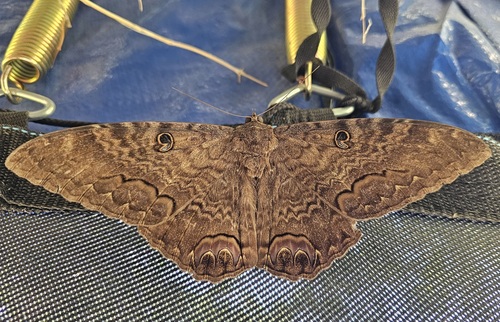
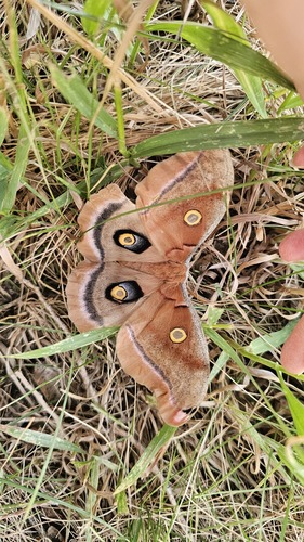
Research-grade observations from iNaturalist (within ~15 mi).
Nearest stream gauge
Events
Gallery
Sources
- • Wikipedia
- • US Census Bureau (ACS 5-year estimates)
- • NOAA National Weather Service
- • Wikidata
- • NCES via Urban Institute Education Data Portal
- • iNaturalist
- • CDC PLACES
- • Open-Meteo / sunrise-sunset.org
- • Wikipedia Pageviews API
- • Open Library
- • NASA EONET