Browse / United States / Wyoming / Thermopolis
Thermopolis
Wyomingtown

Thermopolis
Total population
2,709
Median home value
$211,400
Bachelor's+
Median income
$65,208
Demographic figures from US Census Bureau · ACS 5-year estimates. Overview below cites Wikipedia and may reference a different year.
City facts
Facts from Wikidata (CC0).
Overview
Thermopolis is the county seat and most populous town in Hot Springs County, Wyoming, United States. As of the 2020 census, Thermopolis had a population of 2,725.
Read more on WikipediaHistory & geography
Geography
Thermopolis is located near the northern end of the Wind River Canyon and Wedding of the Waters, where the north-flowing Wind River becomes the Bighorn River, an instance of a river changing names at a point other than a confluence of two streams. The dual name is ascribed to the mountain barrier between the Wind River and Bighorn basins, obscuring the fact that the river that drains the two is the same. The term "Wedding of the Waters" dates to at least 1934, when a marker was placed at the location. Thermopolis is ringed by mountains, with the Big Horn Mountains to the northeast, the Bridger Mountains to the southeast, the Owl Creek Mountains to the southwest and the Absaroka Range to the northwest. Thermopolis is the southernmost municipality in the Bighorn Basin. Roundtop Mountain, on the northern edge of town, is a geological formation shaped much like a volcano. It sits at approximately above sea level and is the highest area in the immediate vicinity of Thermopolis. According to the Köppen Climate Classification system, Thermopolis has a cool semi-arid climate, abbreviated BSk on climate maps. The hottest temperature recorded in Thermopolis was on July 12, 2026, while the coldest temperature recorded was on January 16, 1930. |source 2 = National Weather Service }}
Excerpted from the corresponding Wikipedia article (CC BY-SA).
Demographics & economy
Race & ethnicity
Source: US Census Bureau — American Community Survey, 5-year estimates.
Geography
Coordinates & boundaries from the US Census TIGER/Line shapefiles.
Climate
Current forecast
Forecast for Thermopolis, WY from NOAA NWS API.
Air quality
Industrial & pollution facilities
Natural hazard risk
Health (adults)
Age-adjusted prevalence estimates from CDC PLACES (latest release).
Walkability
Amenities nearby
Wildlife & biodiversity
Schools
Largest nearby schools
- Ralph Witters ElementaryElementary · Thermopolis · 242 students · 11.5:1 ratio
- Hot Springs County High SchoolHigh · Thermopolis · 203 students · 12.7:1 ratio
- Thermopolis Middle SchoolMiddle · Thermopolis · 197 students · 10.9:1 ratio
- Big Horn Basin Children's CenterElementary · Thermopolis
Public K–12 schools within ~10 mi from Urban Institute Education Data Portal (NCES Common Core of Data, 2022).
Earthquake history
Photos
Sights & places nearby
Notable people from here

People born within ~10 km, from Wikidata (CC0). Click any name for their Wikipedia article.
Nearby places in Wyoming
- East Thermopolis0.9 mi away · pop. 192
- Lucerne5.1 mi away · pop. 567
- Kirby10.9 mi away · pop. 60
- Owl Creek19.9 mi away
- Worland28.7 mi away · pop. 4,794
- Shoshoni28.8 mi away · pop. 677
- Pavillion36.7 mi away · pop. 318
- Riverton43.7 mi away · pop. 10,856
- Johnstown43.9 mi away · pop. 253
- Manderson44.8 mi away · pop. 113
- Ten Sleep46.6 mi away · pop. 239
- Arapahoe46.8 mi away · pop. 1,240
Geography & sun
Elevation, sunrise/sunset and daylight from Open-Meteo. Solar climatology from NASA POWER.
Nearby airports
Public attention
Pageview totals from the Wikimedia Pageviews API.
Books about Thermopolis


Search results from Open Library.
Recent natural events nearby
- Wildfire WEISER KNOLL, Fremont, WyomingWildfires · 2026-08-09 · 73 mi
- Wildfire Lumin, Sheridan, WyomingWildfires · 2026-07-31 · 121 mi
- Wildfire Montgomery Draw, Campbell, WyomingWildfires · 2026-08-06 · 127 mi
- Wildfire Bare, Sublette, WyomingWildfires · 2026-08-04 · 130 mi
- Wildfire Harris, Rosebud, MontanaWildfires · 2026-08-09 · 132 mi
- Wildfire Davis Coulee, Big Horn, MontanaWildfires · 2026-09-14 · 134 mi
- Wildfire Sarpy, Big Horn, MontanaWildfires · 2026-08-17 · 148 mi
- Wildfire Cold Springs, Converse, WyomingWildfires · 2026-08-10 · 151 mi
Wildfires, storms and other events from NASA EONET (last 12 months, within 250 mi).
Ground air-quality sensors
Recently spotted species
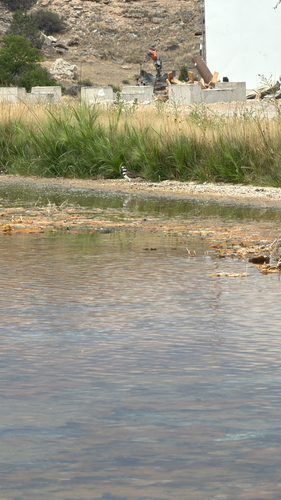
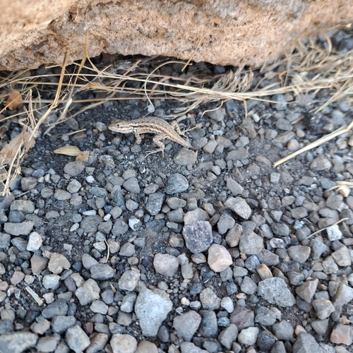
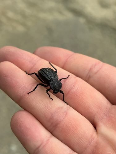
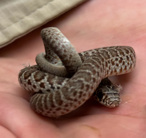
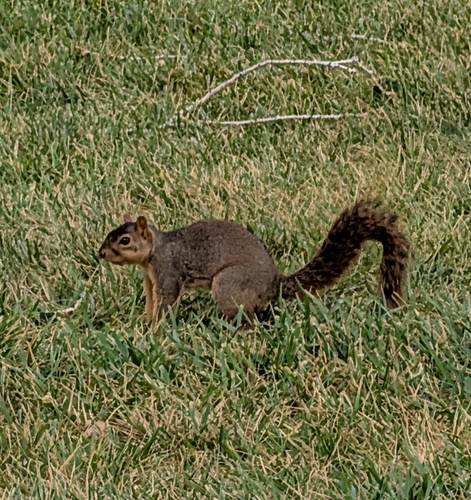
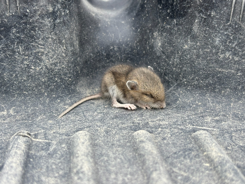
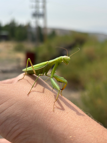
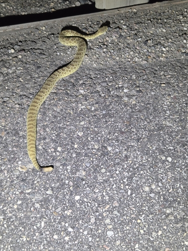
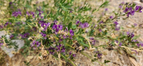
Research-grade observations from iNaturalist (within ~15 mi).
Nearest stream gauge
Events
Gallery
Sources
- • Wikipedia
- • US Census Bureau (ACS 5-year estimates)
- • NOAA National Weather Service
- • Wikidata
- • NCES via Urban Institute Education Data Portal
- • iNaturalist
- • CDC PLACES
- • Open-Meteo / sunrise-sunset.org
- • Wikipedia Pageviews API
- • Open Library
- • NASA EONET