Browse / South Africa / Free State / Boshof
Boshof
Free Statetown

Boshof
Founded
1856
Air quality index
Demographic figures from Statistics South Africa. Overview below cites Wikipedia and may reference a different year.
City facts
Facts from Wikidata (CC0).
Overview
Boshof is a small rural farming town located in the western part of the Free State province, South Africa.
Read more on WikipediaHistory & geography
History
The area that would become Boshof was originally part of territories inhabited by Griqua and other indigenous groups. Historical records from the mid-19th century indicate that Dutch farmers began crossing the Orange River into the region around 1816–1820, initially for seasonal grazing during droughts in the Cape Colony. By the 1830s, larger groups of immigrants, including Voortrekkers from the Great Trek who settled permanently. One such group purchased land from a Griqua chief named Dautzeo, establishing farms in what is now the Boshof district. This purchase formed the basis for early European presence in the area, as documented in contemporary sketches of the Orange Free State. Boshof was established in March 1856 on the farm Vanwyksvlei, and named after Jacobus Nicolaas Boshof (1808-1881), second President of the Orange Free State (1855–59) and founder of its civil service. During its early years, Boshof functioned as a district centre in the Orange Free State, with a focus on agriculture and grazing. The Modder River skirted the district, providing water resources essential for farming. By 1872, it had achieved municipal status, indicating growth in local governance and infrastructure. The town's development was supported by the Dutch Reformed Church, which played a key role in community organization, education, and religious life. During the 2nd Anglo-Boer War the local commando was involved in the siege of Kimberley, notably to disrupt the city's water supply at Riverton. The Battle of Boshof, which resulted in the death of the Comte de Villebois-Mareuil, was fought nearby on 5 April 1900.
Excerpted from the corresponding Wikipedia article (CC BY-SA).
Geography
Coordinates & boundaries from the US Census TIGER/Line shapefiles.
Climate
Air quality
Current readings from Open-Meteo Air Quality API (Copernicus CAMS European reanalysis).
Walkability
Amenities nearby
Wildlife & biodiversity
Most-observed species
- Pied CrowCorvus albus Statius Muller, 1776 · Aves27
- Helmeted GuineafowlNumida meleagris (Linnaeus, 1758) · Aves23
- Black-fronted BulbulPycnonotus nigricans (Vieillot, 1818) · Aves23
- Cape WagtailMotacilla capensis Linnaeus, 1766 · Aves22
- Ring-necked DoveStreptopelia capicola (Sundevall, 1857) · Aves21
- White-browed Sparrow-WeaverPlocepasser mahali A.Smith, 1836 · Aves20
- Yellow CanaryCrithagra flaviventris (J.F.Gmelin, 1789) · Aves20
- Southern Anteater-ChatMyrmecocichla formicivora (Wilkes, 1817) · Aves19
Citizen-science & research observations from the Global Biodiversity Information Facility (GBIF).
Earthquake history
Events from the USGS Earthquake Catalog (global) (FDSN Event Web Service).
Photos
Sights & places nearby
Notable people from here

People born within ~10 km, from Wikidata (CC0). Click any name for their Wikipedia article.
Nearby places in Free State
Geography & sun
Elevation, sunrise/sunset and daylight from Open-Meteo. Solar climatology from NASA POWER.
Nearby airports
Public attention
Pageview totals from the Wikimedia Pageviews API.
Books about this place
Recent natural events nearby
Ground air-quality sensors
Recently spotted species
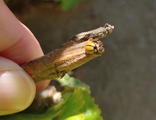
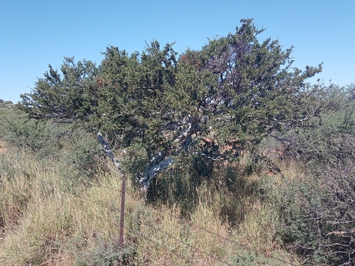
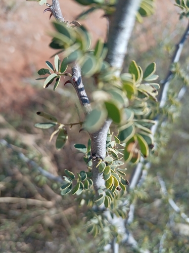
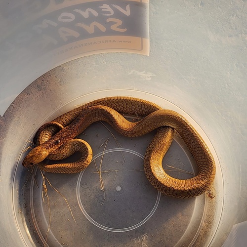
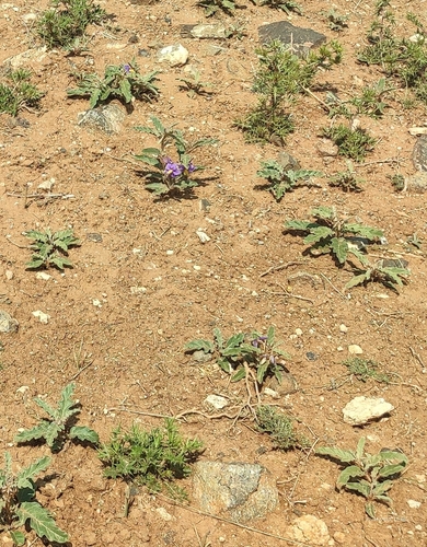
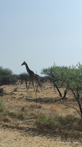
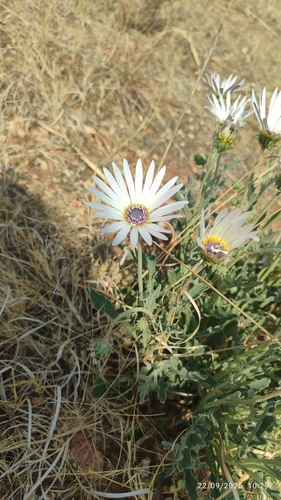
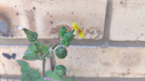
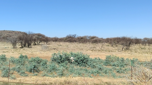
Research-grade observations from iNaturalist (within ~15 mi).
Events
Gallery
Geotagged photos within ~6 miles of Boshof, from Wikimedia Commons contributors.


Photos via Wikimedia Commons — see each image page for license & attribution.
Sources
- • Wikipedia
- • Wikimedia Commons
- • Wikidata
- • Open-Meteo Air Quality (CAMS)
- • USGS Earthquake Catalog (global feed)
- • GBIF (Global Biodiversity Information Facility)
- • iNaturalist
- • Open-Meteo / sunrise-sunset.org
- • Wikipedia Pageviews API