Browse / South Africa / KwaZulu-Natal / Durban
Durban
KwaZulu-Natalcity

Durban
Total population
3,442,361
Founded
1835
Air quality index
Demographic figures from Statistics South Africa. Overview below cites Wikipedia and may reference a different year.
City facts
Sister cities
Facts from Wikidata (CC0).
Overview
Durban is the third-most populous city in South Africa, after Johannesburg and Cape Town, and the largest city in the province of KwaZulu-Natal. Situated on the east coast of South Africa, on the Natal Bay of the Indian Ocean, Durban is the busiest port city in sub-Saharan Africa and was formerly named Port Natal. North of the harbour and city centre lies the mouth of the Umgeni River; the flat city centre rises to the hills of the Berea on the west; and to the south, running along the coast, is the Bluff.
Read more on WikipediaHistory & geography
History
Archaeological evidence from the Drakensberg mountains suggests that the Durban area has been inhabited by communities of hunter-gatherers since 100,000 BP. These people lived throughout the area of KwaZulu-Natal until the expansion of agro-pastoralists and pastoralists from the north saw their gradual incorporation. Oral history has been passed down from generation to generation by the Zulu nation, who were inhabitants of the land before European colonisers, but there is no written history of the area until it was sighted by Portuguese explorer Vasco da Gama, who sailed parallel to the KwaZulu-Natal coast at Christmastide in 1497 while searching for a route from Europe to India. He named the area , meaning "Christmas" in Portuguese. In 1686, a ship from the Dutch East India Company named Stavenisse was wrecked off the eastern coast of South Africa. Some of the survivors made their way to the Bay of Natal (Durban) where they were taken in by the "Abambo" tribe (Hlubi people), which was led by Chief Langalibalele. The crew became fluent in the tribe's language and witnessed their customs. The tribe told them that the land where the Abambo people lived was called Embo by the natives and that the people were very hospitable. On 28 October 1689, the galiot Noord travelled from Table Bay to the Bay of Natal to fetch the surviving crew of the Stavenisse and to negotiate a deal for purchasing the bay. The Noord arrived on 9 December 1689, whereafter the Dutch Cape Colony purchased the Bay of Natal from the Abambo people for £1,650. A formal contract was drawn up by Laurens van Swaanswyk and signed by the chief of the Abambo people, with the crew of the Stavenisse acting as translators. By 1822, James Saunders King, captain of the British ship , together with Lt. Francis…
Geography
Durban is located on the east coast of South Africa, looking out upon the Indian Ocean. The city lies at the mouth of the Umgeni River, which demarcates parts of Durban's north city limit, while other sections of the river flow through the city itself. Durban has a natural harbour, Port of Durban, which is the busiest port in South Africa and the fourth-busiest in the Southern Hemisphere. The extent of urban sprawl the Greater Durban agglomeration has experienced, virtually adjoining surrounding smaller towns, has made boundaries in the metropolitan area quite complicated. Durban proper, which is the main city, is demarcated by its administrative city limits, which are only as large to include the city centre, the Bluff, Berea, Durban North, Mobeni as well as Umbogintwini, Athlone Park, Isipingo and Prospecton to the south among other suburbs. However, the eThekwini Metropolitan Municipality is an amalgamation of Durban proper and more than 120 other nearby formerly independent towns and suburbs such as Amanzimtoti, Cato Ridge, Chatsworth, Hillcrest, KwaMashu, Inanda, oThongathi, Pinetown, Queensburgh, uMhlanga, Umlazi, Verulam and Westville among others that have organically merged yet still retain their legal boundaries. The name "Durban" is commonly referred to by residents as not just the city proper but the Greater Durban metropolitan area that sometimes extends beyond eThekwini to include Scottburgh, Ballito and KwaDukuza. Similarly, the demonym of a "Durbanite" not only refers to people who live within Durban proper but to residents of the Greater Durban metropolitan area. Durban has a humid subtropical climate (Köppen climate classification Cfa, bordering Cwa) with hot, humid summers and mild, dry winters, which are frost-free. Durban has an annual rainfall…
Excerpted from the corresponding Wikipedia article (CC BY-SA).
Geography
Coordinates & boundaries from the US Census TIGER/Line shapefiles.
Climate
Air quality
Current readings from Open-Meteo Air Quality API (Copernicus CAMS European reanalysis).
Walkability
Amenities nearby
Wildlife & biodiversity
Most-observed species
- Hadada IbisBostrychia hagedash (Latham, 1790) · Aves4,585
- Red-eyed DoveStreptopelia semitorquata (Rüppell, 1837) · Aves3,915
- Red-winged StarlingOnychognathus morio (Linnaeus, 1766) · Aves3,161
- Bronze mannikinLonchura cucullata (Swainson, 1837) · Aves3,041
- Common MynaAcridotheres tristis (Linnaeus, 1766) · Aves2,830
- Cape White-eyeZosterops virens Sundevall, 1850 · Aves2,817
- Speckled MousebirdColius striatus J.F.Gmelin, 1789 · Aves2,800
- Black-collared BarbetLybius torquatus (Dumont, 1805) · Aves2,699
Citizen-science & research observations from the Global Biodiversity Information Facility (GBIF).
Earthquake history
Most recent
- M 3.7 — 2016-02-06South Africa
- M 4.3 — 2015-06-1619 km ESE of Sundumbili, South Africa
Events from the USGS Earthquake Catalog (global) (FDSN Event Web Service).
Photos
Sights & places nearby
Notable people from here


People born within ~10 km, from Wikidata (CC0). Click any name for their Wikipedia article.
Nearby places in KwaZulu-Natal
- Pinetown9.7 mi away
- Umdloti / eMdloti14.6 mi away
- Ballito25.2 mi away
- Shaka's Rock27.5 mi away
- Umhlali29.4 mi away
- Tinley Manor Beach33 mi away
- Thornville38.5 mi away
- Blythedale Beach39.6 mi away
- Stanger / KwaDukuza39.8 mi away
- Pietermaritzburg42 mi away · pop. 618,536
- Schroeders42.6 mi away
- Richmond44.1 mi away
Geography & sun
Elevation, sunrise/sunset and daylight from Open-Meteo. Solar climatology from NASA POWER.
Nearby airports
Public attention
Pageview totals from the Wikimedia Pageviews API.
Books about Durban


Search results from Open Library.
Recent natural events nearby
Ground air-quality sensors
Recently spotted species
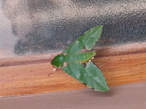
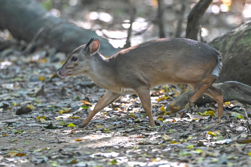
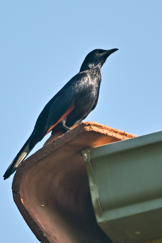
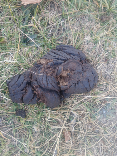
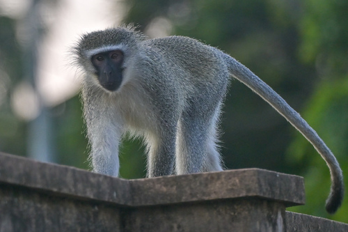
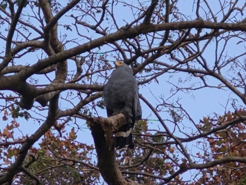
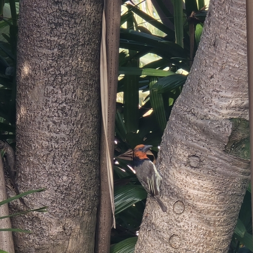
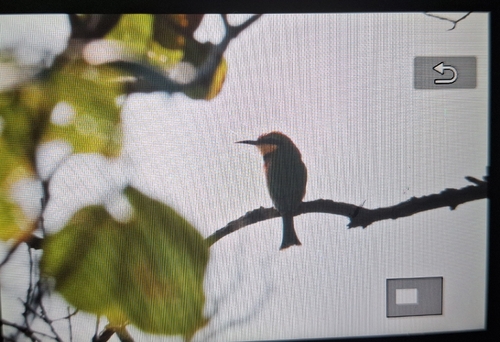
Research-grade observations from iNaturalist (within ~15 mi).
Events
Notable, recurring, and historical events associated with Durban, sourced from Wikidata.
- Jan 1, 2023
- 2023 World Table Tennis Championships – Women's singlesJan 1, 2023sporting event
- 2023 World Table Tennis Championships – Men's doublesJan 1, 2023sporting event
- 2023 World Table Tennis Championships – Women's doublesJan 1, 2023sporting event
- 2023 World Table Tennis Championships – Mixed doublesJan 1, 2023sporting event
Source: Wikidata (CC0).
Gallery
Geotagged photos within ~6 miles of Durban, from Wikimedia Commons contributors.
 0.1 mi
 0.1 mi
 0.1 mi
.jpg) 0.2 mi
0.2 mi.jpg) 0.2 mi
0.2 mi.jpg) 0.2 mi
0.2 mi.jpg) 0.2 mi
0.2 mi.jpg) 0.2 mi
0.2 mi.jpg) 0.2 mi
0.2 mi.jpg) 0.2 mi
0.2 mi.jpg) 0.2 mi
0.2 mi 0.3 mi
 0.4 mi
 0.5 mi
 0.5 mi
.jpg) 0.5 mi
0.5 mi 0.5 mi
.jpg) 0.5 mi
0.5 mi.jpg) 0.5 mi
0.5 mi.jpg) 0.5 mi
0.5 mi.jpg) 0.5 mi
0.5 mi.jpg) 0.5 mi
0.5 mi.jpg) 0.5 mi
0.5 mi.jpg) 0.5 mi
0.5 miPhotos via Wikimedia Commons — see each image page for license & attribution.
Sources
- • Wikipedia
- • Wikimedia Commons
- • Wikidata
- • Open-Meteo Air Quality (CAMS)
- • USGS Earthquake Catalog (global feed)
- • GBIF (Global Biodiversity Information Facility)
- • iNaturalist
- • Open-Meteo / sunrise-sunset.org
- • Wikipedia Pageviews API
- • Open Library