Browse / South Africa / Free State / Heilbron
Heilbron
Free Statetown

Heilbron
Founded
1872
Demographic figures from Statistics South Africa. Overview below cites Wikipedia and may reference a different year.
City facts
Facts from Wikidata (CC0).
Overview
Heilbron is a town in the Free State province of South Africa which services the cattle, dairy, sorghum, sunflower and maize industries. Raw stock beneficiation occurs in leisure foods, dairy products and stock feeds. It also serves as a dormitory town for the Gauteng metropolis.
Read more on WikipediaHistory & geography
History
In 1836, the Voortrekkers fought off the local people of Ndebele Chief Mzilikazi at the Battle of Vegkop near the present town of Heilbron. This historical site boasts a monument and a contemporary museum which are both popular stops for battle field tourists. Heilbron was officially established in 1873. The town was founded at the site of a perennial natural fountain, thus the name 'Heilbron' (Afrikaans for 'Spring of Bliss'). The fountain is the source of a small stream which runs through the town. Various small groups of people have lived on the banks of the stream for centuries. After Bloemfontein was conquered by the British forces during the Anglo-Boer War (on 13 March 1900), Heilbron was proclaimed as the capital of the independent Boer Republic of the Orange Free State. A few weeks after the fall of Bloemfontein, Heilbron was also occupied, and President Steyn moved the capital to Frankfort, another town in the northern Free State. By 18 May 1900, the Orange Free State was defeated, annexed by Britain and renamed the "Orange River Colony". Many Boer fighters refused to surrender. The area surrounding Heilbron was rife with guerilla activity. In order to subdue those Boers who continued to fight, the British High Command attempted to cut the guerilla army off from its source of provisions. Boer farms were razed and concentration camps, such as the one in Heilbron, were built to house the Boer women, children and non-combatant labourers who provided support to the Boer fighters. The camps were ill-planned and thousands of Boer civilians died of starvation, disease and exposure. The black population were not spared either. Today the Heilbron concentration camp is used as a private school. A monument to commemorate the victims of the camps can be found in the…
Excerpted from the corresponding Wikipedia article (CC BY-SA).
Geography
Coordinates & boundaries from the US Census TIGER/Line shapefiles.
Climate
Air quality
Walkability
Amenities nearby
Wildlife & biodiversity
Most-observed species
- Cape WagtailMotacilla capensis Linnaeus, 1766 · Aves134
- White-browed Sparrow-WeaverPlocepasser mahali A.Smith, 1836 · Aves90
- Long-tailed WidowbirdEuplectes progne (Boddaert, 1783) · Aves86
- Southern FiscalLanius collaris Linnaeus, 1766 · Aves85
- Blacksmith LapwingVanellus armatus (Burchell, 1822) · Aves84
- Ring-necked DoveStreptopelia capicola (Sundevall, 1857) · Aves81
- African PipitAnthus cinnamomeus Rüppell, 1840 · Aves79
- Southern Red BishopEuplectes orix (Linnaeus, 1758) · Aves78
Citizen-science & research observations from the Global Biodiversity Information Facility (GBIF).
Earthquake history
Most recent
- M 3.5 — 2023-09-0910 km ENE of Koppies, South Africa
- M 3.6 — 2023-04-1614 km SSE of Potchefstroom, South Africa
- M 4.4 — 2022-12-118 km W of Orange Farm, South Africa
- M 4.3 — 2022-03-0514 km S of Westonaria, South Africa
- M 4.1 — 2021-12-167 km ESE of Fochville, South Africa
- M 4.3 — 2021-06-1216 km S of Westonaria, South Africa
Events from the USGS Earthquake Catalog (global) (FDSN Event Web Service).
Photos
Sights & places nearby
Notable people from here
People born within ~10 km, from Wikidata (CC0). Click any name for their Wikipedia article.
Nearby places in Free State
Geography & sun
Elevation, sunrise/sunset and daylight from Open-Meteo. Solar climatology from NASA POWER.
Nearby airports
Public attention
Pageview totals from the Wikimedia Pageviews API.
Books about this place
Recent natural events nearby
Ground air-quality sensors
Recently spotted species
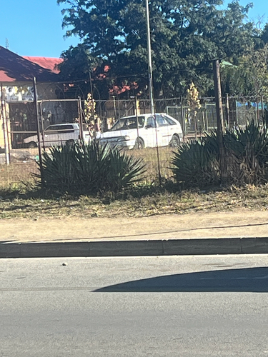
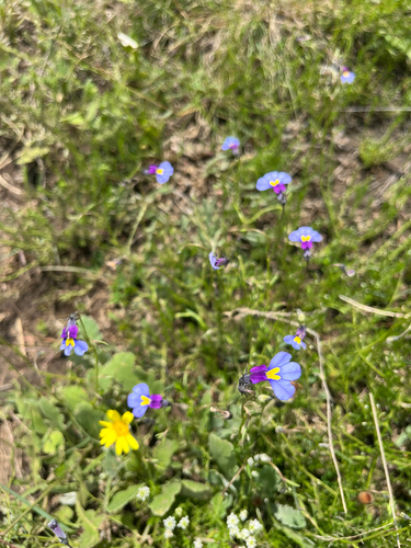
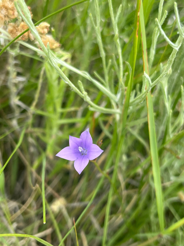
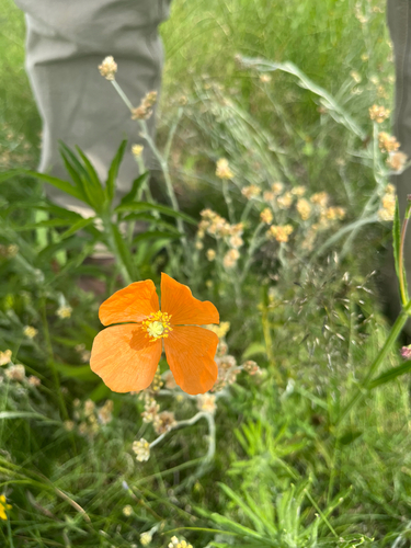
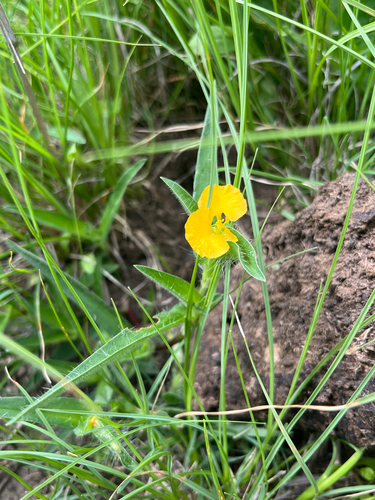
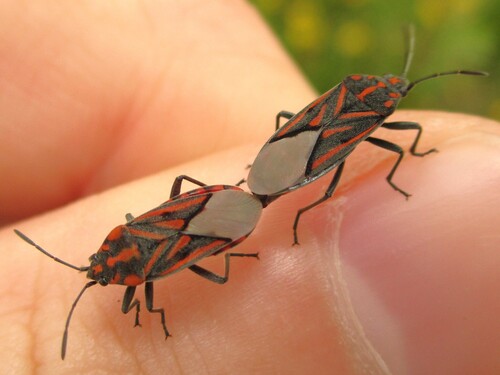
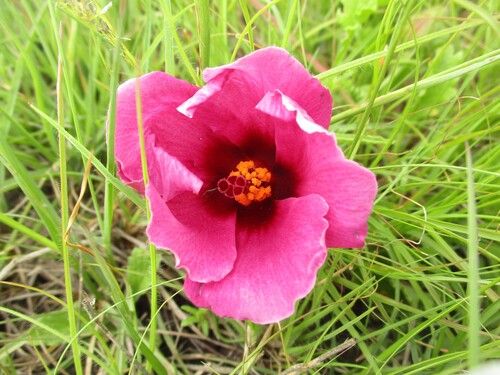
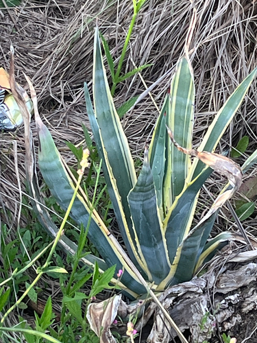
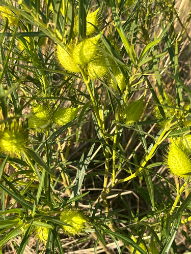
Research-grade observations from iNaturalist (within ~15 mi).
Events
Gallery
Geotagged photos within ~6 miles of Heilbron, from Wikimedia Commons contributors.


Photos via Wikimedia Commons — see each image page for license & attribution.
Sources
- • Wikipedia
- • Wikimedia Commons
- • Wikidata
- • USGS Earthquake Catalog (global feed)
- • GBIF (Global Biodiversity Information Facility)
- • iNaturalist
- • Open-Meteo / sunrise-sunset.org
- • Wikipedia Pageviews API