Browse / South Africa / Western Cape / Khayelitsha
Khayelitsha
Western Capetown

Khayelitsha
Total population
330,000
Demographic figures from Statistics South Africa. Overview below cites Wikipedia and may reference a different year.
City facts
Overview
Khayelitsha is a township in Western Cape, South Africa, on the Cape Flats in the City of Cape Town Metropolitan Municipality. The name is Xhosa for New Home. It is reputed to be one of the largest and fastest-growing townships in South Africa.
Read more on WikipediaHistory & geography
History
Cape Town initially opposed implementing the Group Areas Act passed in 1950, and residential areas in the city remained unsegregated until the first Group Areas were declared in the city in 1957. When Cape Town finally started implementing the Group Areas Act, it did so more severely than any other major city; by the mid-1980s, it had become one of the most segregated cities in South Africa. The discrimination and black population control by the apartheid government did not prevent black people from settling in the outskirts of Cape Town. After the scrapping of pass laws in 1987, many black people, mainly Xhosas, moved into areas around Cape Town in search of work. By then, many black people had already illegally settled in townships like Nyanga and Crossroads. In 1983 and 1984, conditions in squatter camps like Crossroads and KTC worsened, and were exacerbated by official policing policy, in which homes were destroyed, and also by the emergence of the Witdoeke, led by "Mayor" Johnson Ngxobongwana. The Witdoeke were actively supported by the apartheid government in its fight against the ANC-aligned UDF, which had actively opposed plans for people to be moved to the new township of Khayelitsha. As the black population grew, the apartheid regime sought to solve the "problem" by establishing new black neighbourhoods. Khayelitsha was established in 1985 and large numbers of people were forcefully relocated there, mostly peacefully but occasionally with violence. The Western Cape was a preference area for the local coloured population, and a system called "influx control" was in place to restrict Xhosas from travelling from the Transkei by requiring a permit. After the historic 1994 elections, hundreds of thousands moved to urban areas in search of work, education or…
Geography
Khayelitsha is located on the Cape Flats, between Table Bay and False Bay. Khayelitsha has been split into about 22 areas, depending on how one divides them. It is made up of Makhaza, Kuyasa, Harare, Makhaya, Town Two, Ilitha Park, Site B (consisting of the newer K-Z sections) and Site C. Khayelitsha is made up of old formal areas and new informal/formal areas. The old formal areas were built originally by the apartheid government and are known as A-J sections also called 'Khayelitsha' proper (each section with more or less than 500 formal two roomed brick houses) Bongweni, Ikhwezi Park, Khulani Park, Khanya Park, Tembani, Washington Square, Graceland, Ekuphumleni and Zolani Park. These areas are mostly made up of bank bond housing and are home to middle-class / upper working class populations. The newer areas have been built up around the older areas. They include Site B (which is further subdivided into the K-Z sections in continuation of the original A-J sections respectively and TR, QQ, RR and BM informal settlements), Site C, Green Point, Litha Park, Mandela Park, Makhaza, Makhaya and Harare.
Excerpted from the corresponding Wikipedia article (CC BY-SA).
Geography
Coordinates & boundaries from the US Census TIGER/Line shapefiles.
Climate
Air quality
Walkability
Amenities nearby
Wildlife & biodiversity
Most-observed species
- Egyptian GooseAlopochen aegyptiaca (Linnaeus, 1766) · Aves10,690
- Hadada IbisBostrychia hagedash (Latham, 1790) · Aves10,246
- European StarlingSturnus vulgaris Linnaeus, 1758 · Aves9,253
- Sacred IbisThreskiornis aethiopicus (Latham, 1790) · Aves8,829
- Pied CrowCorvus albus Statius Muller, 1776 · Aves8,825
- Red-eyed DoveStreptopelia semitorquata (Rüppell, 1837) · Aves8,455
- Cape White-eyeZosterops virens Sundevall, 1850 · Aves8,310
- Hartlaub's GullChroicocephalus hartlaubii (Bruch, 1855) · Aves8,009
Citizen-science & research observations from the Global Biodiversity Information Facility (GBIF).
Earthquake history
Most recent
- M 3.5 — 2020-11-1647 km S of Saldanha, South Africa
- M 2.7 — 2020-09-2712 km W of Paarl, South Africa
- M 2.6 — 2020-09-2619 km ESE of Atlantis, South Africa
Events from the USGS Earthquake Catalog (global) (FDSN Event Web Service).
Photos
Sights & places nearby
Notable people from here


People born within ~10 km, from Wikidata (CC0). Click any name for their Wikipedia article.
Nearby places in Western Cape
- Mitchells Plain2.9 mi away · pop. 400,000
- Blue Downs3.3 mi away · pop. 150,000
- Eersterivier4.2 mi away · pop. 30,000
- Kuils River7.9 mi away · pop. 45,000
- Helderberg Village8.7 mi away
- Elsiesriver8.9 mi away · pop. 85,000
- Strand10.4 mi away · pop. 75,000
- Parow10.6 mi away · pop. 80,000
- Somerset West10.8 mi away · pop. 80,000
- Jamestown11.2 mi away
- Kraaifontein13.6 mi away · pop. 60,000
- Stellenbosch13.7 mi away · pop. 60,000
Geography & sun
Elevation, sunrise/sunset and daylight from Open-Meteo. Solar climatology from NASA POWER.
Nearby airports
Public attention
Pageview totals from the Wikimedia Pageviews API.
Books about Khayelitsha
Search results from Open Library.
Recent natural events nearby
Ground air-quality sensors
Recently spotted species
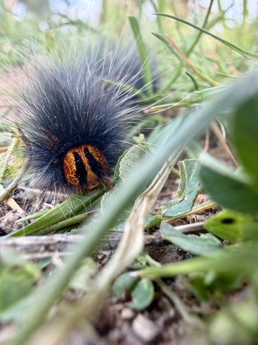
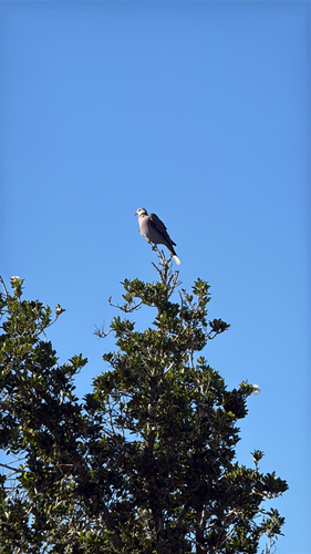
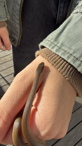
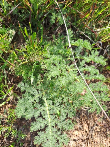
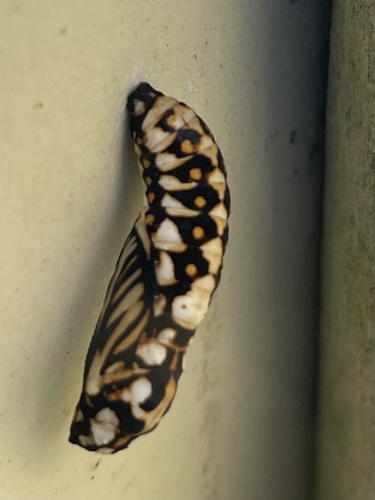
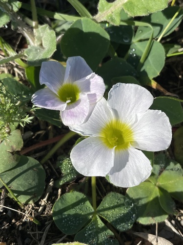
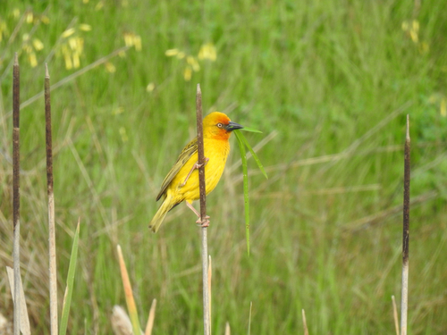
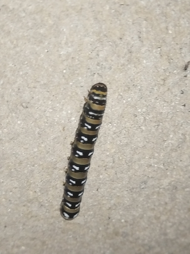
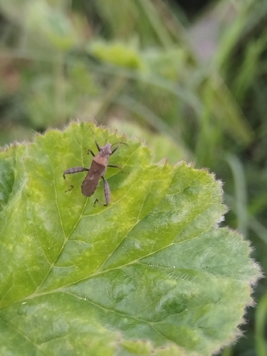
Research-grade observations from iNaturalist (within ~15 mi).
Events
Gallery
Geotagged photos within ~6 miles of Khayelitsha, from Wikimedia Commons contributors.
 0.4 mi
.jpg) 0.4 mi
0.4 mi 0.7 mi
 0.7 mi
 0.7 mi
 0.7 mi
 0.7 mi
.JPG) 0.7 mi
0.7 mi 0.7 mi
 0.8 mi
 1.1 mi
 1.3 mi
 1.3 mi
 1.3 mi
 1.6 mi
.jpg) 1.6 mi
1.6 mi 1.6 mi
 2 mi
2 mi.jpg) 2.1 mi
2.1 mi 2.1 mi
 2.2 mi
 2.2 mi
 2.3 mi
 2.3 mi
Photos via Wikimedia Commons — see each image page for license & attribution.
Sources
- • Wikipedia
- • Wikimedia Commons
- • Wikidata
- • USGS Earthquake Catalog (global feed)
- • GBIF (Global Biodiversity Information Facility)
- • iNaturalist
- • Open-Meteo / sunrise-sunset.org
- • Wikipedia Pageviews API
- • Open Library