Browse / South Africa / Western Cape / Kraaifontein
Kraaifontein
Western Capetown
Total population
60,000
Air quality index
Demographic figures from Statistics South Africa. Overview below cites Wikipedia and may reference a different year.
City facts
Facts from Wikidata (CC0).
Overview
Kraaifontein is a town in the Western Cape province of South Africa and is located on the north-eastern outskirts of the City of Cape Town Metropolitan Municipality.
Read more on WikipediaHistory & geography
Geography
Strategically located at the gateway to the Cape Winelands, Kraaifontein is halfway between Cape Town (31 km) and Paarl (29 km) along the N1 highway and is flanked by Durbanville to the north-west and Brackenfell to the west. Kraaifontein, encompassing the areas of Bernardino Heights, Scottsdene, Scottsville, Wallacedene, Eikendal and Bloekombos, was once a separate municipality before the restructuring of all South African municipalities during the late '90s. These areas, however, are listed as separate suburbs by the City of Cape Town for planning and statistical purposes. Forming part of the City of Cape Town Metropolitan Municipality, it is located in its Subcouncil 2 Area, Bergdal. * Belmont Park *Bernadino Heights *Bloekombos *Bonnie Brae *Bonnie Brook *Buh-Rein Estate *Eikendal *Joostenberg Vlakte *Klein Begin *Kraaifontein Agricultural Holdings *Kraaifontein East *Kraaifontein Industrial *Langeberg Glen *Langeberg Heights *Langeberg Ridge *Peerless Park East *Peerless Park North *Peerless Park West *Scottsdene *Scottsville *Summerville *Uitzicht *Wallacedene *Windsor Park *Windsor Park Estate *Viking Village *Zoo Park
Excerpted from the corresponding Wikipedia article (CC BY-SA).
Geography
Coordinates & boundaries from the US Census TIGER/Line shapefiles.
Climate
10-year averages from ERA5 reanalysis (Open-Meteo).
Air quality
Current readings from Open-Meteo Air Quality API (Copernicus CAMS European reanalysis).
Walkability
Amenities nearby
Wildlife & biodiversity
Most-observed species
- Red-eyed DoveStreptopelia semitorquata (Rüppell, 1837) · Aves4,899
- Egyptian GooseAlopochen aegyptiaca (Linnaeus, 1766) · Aves4,872
- Cape White-eyeZosterops virens Sundevall, 1850 · Aves4,652
- Pied CrowCorvus albus Statius Muller, 1776 · Aves4,631
- Hadada IbisBostrychia hagedash (Latham, 1790) · Aves4,558
- Cape SparrowPasser melanurus (Statius Muller, 1776) · Aves4,508
- European StarlingSturnus vulgaris Linnaeus, 1758 · Aves4,393
- Cape WagtailMotacilla capensis Linnaeus, 1766 · Aves4,214
Citizen-science & research observations from the Global Biodiversity Information Facility (GBIF).
Earthquake history
Most recent
- M 3.5 — 2020-11-1647 km S of Saldanha, South Africa
- M 2.7 — 2020-09-2712 km W of Paarl, South Africa
- M 2.6 — 2020-09-2619 km ESE of Atlantis, South Africa
Events from the USGS Earthquake Catalog (global) (FDSN Event Web Service).
Photos
Sights & places nearby
Notable people from here


People born within ~10 km, from Wikidata (CC0). Click any name for their Wikipedia article.
Nearby places in Western Cape
- Durbanville3.9 mi away · pop. 40,000
- Kuils River5.7 mi away · pop. 45,000
- Parow8.3 mi away · pop. 80,000
- Klapmuts9.3 mi away
- Elsiesriver9.4 mi away · pop. 85,000
- Eersterivier10.5 mi away · pop. 30,000
- Blue Downs10.6 mi away · pop. 150,000
- Stellenbosch10.6 mi away · pop. 60,000
- Jamestown11.9 mi away
- Morning Star12.5 mi away
- Milnerton12.8 mi away · pop. 80,000
- Khayelitsha13.6 mi away · pop. 330,000
Geography & sun
Elevation, sunrise/sunset and daylight from Open-Meteo. Solar climatology from NASA POWER.
Nearby airports
Public attention
Pageview totals from the Wikimedia Pageviews API.
Books about this place
Recent natural events nearby
Ground air-quality sensors
Recently spotted species
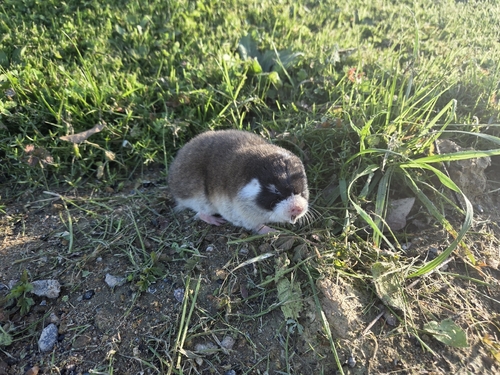
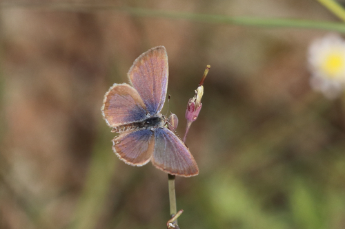
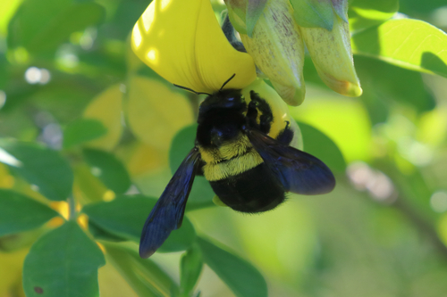
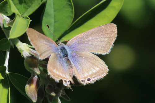
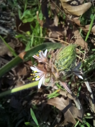
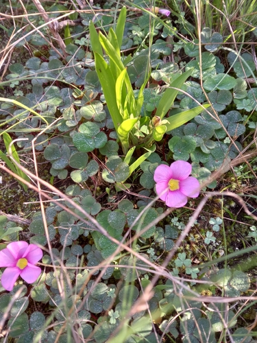
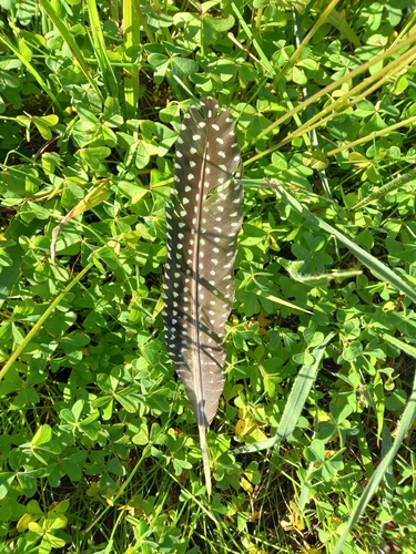
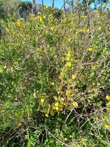
Research-grade observations from iNaturalist (within ~15 mi).
Events
Gallery
Geotagged photos within ~6 miles of Kraaifontein, from Wikimedia Commons contributors.
 0.6 mi
 0.7 mi
 1.4 mi
 1.7 mi
 2.1 mi
 3.3 mi
 3.3 mi
 3.3 mi
 3.4 mi
 3.4 mi
 3.5 mi
 3.5 mi
 3.6 mi
 3.6 mi
 3.6 mi
 3.6 mi
 3.6 mi
 3.7 mi
 3.7 mi
 3.7 mi
 3.7 mi
 3.7 mi
 3.7 mi
 3.7 mi
Photos via Wikimedia Commons — see each image page for license & attribution.
Sources
- • Wikipedia
- • Open-Meteo (ERA5 reanalysis)
- • Wikimedia Commons
- • Wikidata
- • Open-Meteo Air Quality (CAMS)
- • USGS Earthquake Catalog (global feed)
- • GBIF (Global Biodiversity Information Facility)
- • iNaturalist
- • Open-Elevation
- • Open-Meteo / sunrise-sunset.org
- • Wikipedia Pageviews API