Browse / South Africa / Eastern Cape / Ngqeleni
Ngqeleni
Eastern Capetown
Air quality index
Demographic figures from Statistics South Africa. Overview below cites Wikipedia and may reference a different year.
City facts
Overview
Ngqeleni is a town in OR Tambo District Municipality in the Eastern Cape province of South Africa.
Read more on WikipediaHistory & geography
Geography
Coordinates & boundaries from the US Census TIGER/Line shapefiles.
Climate
Air quality
Current readings from Open-Meteo Air Quality API (Copernicus CAMS European reanalysis).
Walkability
Amenities nearby
Wildlife & biodiversity
Most-observed species
- Cattle EgretBubulcus ibis (Linnaeus, 1758) · Aves3
- Red-collared WidowbirdEuplectes ardens (Boddaert, 1783) · Aves3
- Tree tobacco, Wild tobacco tree, Earleaf nightshade, Woolly nightshade, Bugweed, Tobacco weed, Tobacco bush, Wild tobacco, Kerosene plant, Wild tobacco bush, Wild tobacco plantSolanum mauritianum Scop. · Magnoliopsida3
- Pied CrowCorvus albus Statius Muller, 1776 · Aves2
- Southern Red BishopEuplectes orix (Linnaeus, 1758) · Aves2
- Mauritius thorn, Mysore thorn, Shoofly, Cat's claw, Thorny poincianaBiancaea decapetala (Roth) O.Deg. · Magnoliopsida2
- Red-winged StarlingOnychognathus morio (Linnaeus, 1766) · Aves2
- Chinaberry tree, Pride of India, Bead-tree, Cape lilac, Syringa berrytree, Persian lilac, Indian lilacMelia azedarach L. · Magnoliopsida2
Citizen-science & research observations from the Global Biodiversity Information Facility (GBIF).
Earthquake history
Events from the USGS Earthquake Catalog (global) (FDSN Event Web Service).
Photos
Sights & places nearby
Notable people from here

People born within ~10 km, from Wikidata (CC0). Click any name for their Wikipedia article.
Nearby places in Eastern Cape
Geography & sun
Elevation, sunrise/sunset and daylight from Open-Meteo. Solar climatology from NASA POWER.
Nearby airports
Public attention
Pageview totals from the Wikimedia Pageviews API.
Books about this place
Recent natural events nearby
Ground air-quality sensors
Recently spotted species
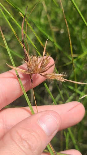
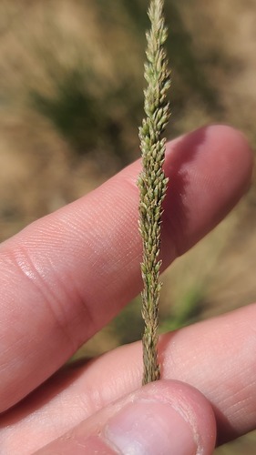
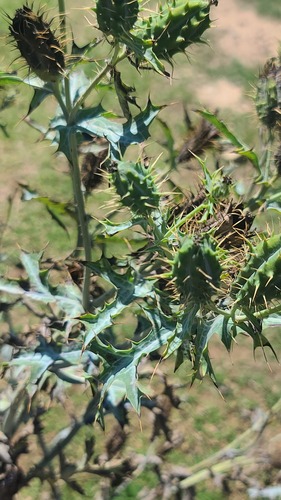
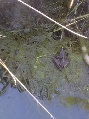
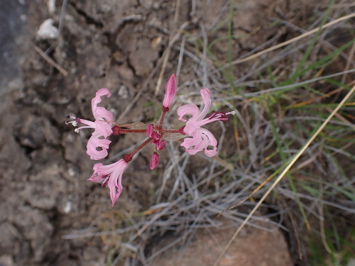
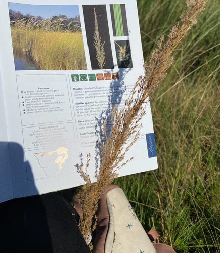
Research-grade observations from iNaturalist (within ~15 mi).
Events
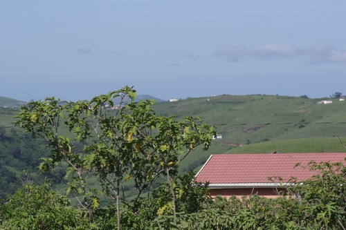
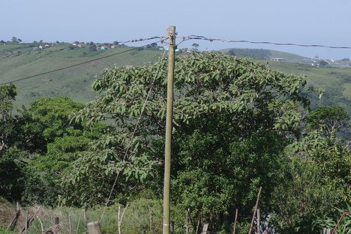
Gallery
Geotagged photos within ~6 miles of Ngqeleni, from Wikimedia Commons contributors.

Photos via Wikimedia Commons — see each image page for license & attribution.
Sources
- • Wikipedia
- • Wikimedia Commons
- • Wikidata
- • Open-Meteo Air Quality (CAMS)
- • USGS Earthquake Catalog (global feed)
- • GBIF (Global Biodiversity Information Facility)
- • iNaturalist
- • Open-Meteo / sunrise-sunset.org
- • Wikipedia Pageviews API