Browse / South Africa / Western Cape / Paarl
Paarl
Western Capecity

Paarl
Total population
112,045
Founded
1657
Demographic figures from Statistics South Africa. Overview below cites Wikipedia and may reference a different year.
City facts
Facts from Wikidata (CC0).
Overview
Paarl is a town with 294,457 inhabitants in the Western Cape province of South Africa. It is the largest town in the Cape Winelands. Due to the growth of the Mbekweni township, it is now a de facto urban unit with Wellington. It is situated about 60 kilometres (37 mi) northeast of Cape Town in the Western Cape Province and is known for its scenic environment and viticulture and fruit-growing heritage.
Read more on WikipediaHistory & geography
History
The area that is now known as Paarl was first and is still inhabited by the Khoikhoi. The Peninsular Khoikhoi people and the Cocoqua people live in this area divided by the Berg River Valley. The Cocoqua were cattle-herding people and among the richest of the Khoi tribes. They had between 16,000 and 18,000 members and originally called Paarl Mountain, "!hom ǃnāb/s" which means Tortoise Mountain. The Dutch East India Company, under the leadership of Jan van Riebeeck, established meat-trading relationships with the Khoikhoi people on the Table Bay coastline. In 1657, in search of new trading relationships inland, Abraham Gabemma saw a giant granite rock glistening in the sun after a rainstorm and named it "de Diamondt en de Peerlberg" (Diamond and Pearl Mountain), from which Paarl is derived. Gabemma (often also spelt Gabbema) was the Fiscal (public treasurer) for the settlement on the shores of Table Bay. The "diamonds" disappeared from the name, and it became known simply as Pearl Rock or Pearl Mountain. In 1687, Governor Simon van der Stel gave the title to the first colonial farms in the area to "free burghers". The following year, the French Huguenots arrived in the Western Cape and began to settle on farms in the area. Thus began Paarl's long and continuing history as a major wine- and fruit-producing area of South Africa. In 1875 a congregation was formed out of a desire to be educated in their mother tongue. This was the result of a Reverend GWA van der Lingen idea who tried to motivate and convince people of his principles. The congregation would raise funds and begin construction of a church that would later be known as the "Toring Kerk" (Tower Church). Construction finished in 1905. The church contains materials imported from London and Egypt. The…
Excerpted from the corresponding Wikipedia article (CC BY-SA).
Geography
Coordinates & boundaries from the US Census TIGER/Line shapefiles.
Climate
Air quality
Walkability
Amenities nearby
Wildlife & biodiversity
Earthquake history
Photos
Sights & places nearby
Notable people from here


People born within ~10 km, from Wikidata (CC0). Click any name for their Wikipedia article.
Nearby places in Western Cape
- Wellington6.6 mi away
- Simondium7.4 mi away
- Klapmuts7.5 mi away
- Groot-Drakenstein9.4 mi away
- Malan11 mi away
- Groendal13.7 mi away
- Stellenbosch15.1 mi away · pop. 60,000
- Franschhoek15.2 mi away · pop. 17,556
- Kraaifontein16.4 mi away · pop. 60,000
- Goudini17.5 mi away
- Jamestown18.4 mi away
- Durbanville19.6 mi away · pop. 40,000
Geography & sun
Elevation, sunrise/sunset and daylight from Open-Meteo. Solar climatology from NASA POWER.
Nearby airports
Public attention
Pageview totals from the Wikimedia Pageviews API.
Books about Paarl
Search results from Open Library.
Recent natural events nearby
Ground air-quality sensors
Recently spotted species
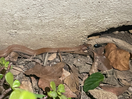
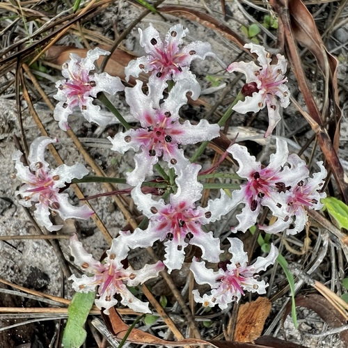
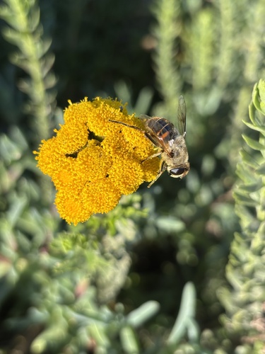
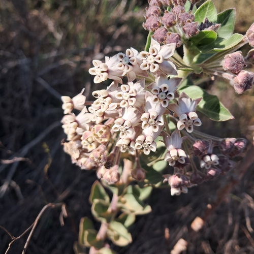
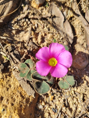
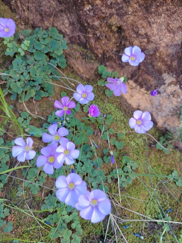
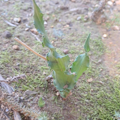
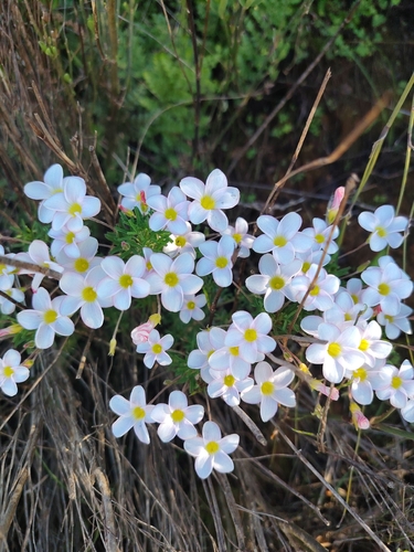
Research-grade observations from iNaturalist (within ~15 mi).
Events
Gallery
Geotagged photos within ~6 miles of Paarl, from Wikimedia Commons contributors.
 0.4 mi
 0.4 mi
 0.4 mi
 0.4 mi
 0.6 mi
 0.7 mi
 0.8 mi
 1 mi
1 mi 1 mi
1 mi 1 mi
1 mi 1.1 mi
 1.2 mi
 1.3 mi
 1.3 mi
 1.4 mi
 1.4 mi
 1.4 mi
 1.4 mi
 1.4 mi
 1.5 mi
 1.5 mi
 1.5 mi
 1.5 mi
 1.6 mi
Photos via Wikimedia Commons — see each image page for license & attribution.
Sources
- • Wikipedia
- • Wikimedia Commons
- • Wikidata
- • iNaturalist
- • Open-Meteo / sunrise-sunset.org
- • Wikipedia Pageviews API
- • Open Library