Browse / South Africa / Free State / Selosesha 10
Selosesha 10
Free Statevillage
Demographic figures from Statistics South Africa. Overview below cites Wikipedia and may reference a different year.
City facts
Overview
Selosesha 10, a village in Free State, South Africa, forms part of the country's settled landscape. Geographically it lies in the southern hemisphere at a subtropical latitude (-29.206°, 26.795°). Detailed population figures are not currently catalogued in the open data sources we track. Open solar datasets indicate about 2,120 kWh/m² of solar irradiance per year, combined with sunshine for roughly 83% of daylight hours. The latitude suggests hot summers and mild winters typical of the subtropics. Continue scrolling for population, climate, environmental and points-of-interest data drawn from public sources.
Summary composed automatically from structured open data on this page. See our Terms for details.
History & geography
Geography
Coordinates & boundaries from the US Census TIGER/Line shapefiles.
Climate
Air quality
Walkability
Amenities nearby
Wildlife & biodiversity
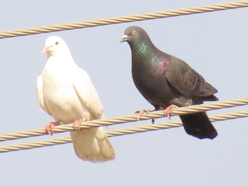
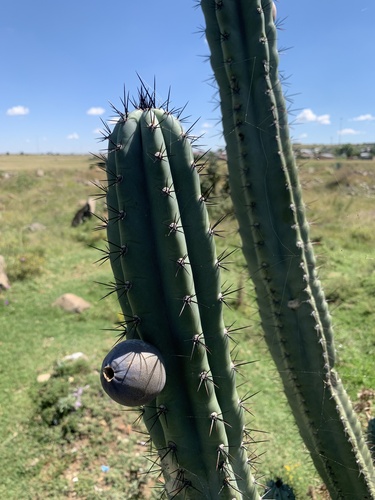
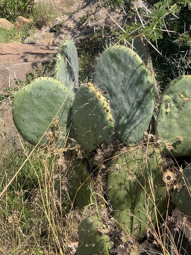
Most-observed species
- Cape WagtailMotacilla capensis Linnaeus, 1766 · Aves30
- Southern FiscalLanius collaris Linnaeus, 1766 · Aves23
- Speckled PigeonColumba guinea Linnaeus, 1758 · Aves23
- Cape SparrowPasser melanurus (Statius Muller, 1776) · Aves22
- White-browed Sparrow-WeaverPlocepasser mahali A.Smith, 1836 · Aves20
- Cattle EgretBubulcus ibis (Linnaeus, 1758) · Aves19
- Blacksmith LapwingVanellus armatus (Burchell, 1822) · Aves18
- Opuntia robusta H.L.Wendl.Opuntia robusta H.L.Wendl. · Magnoliopsida17
Citizen-science & research observations from the Global Biodiversity Information Facility (GBIF).
Earthquake history
Most recent
- M 4.4 — 2017-09-1558 km S of Bloemfontein, South Africa
Events from the USGS Earthquake Catalog (global) (FDSN Event Web Service).
Photos
Sights & places nearby
Notable people from here


People born within ~10 km, from Wikidata (CC0). Click any name for their Wikipedia article.
Nearby places in Free State
Geography & sun
Elevation, sunrise/sunset and daylight from Open-Meteo. Solar climatology from NASA POWER.
Nearby airports
Public attention
Books about this place
Recent natural events nearby
Ground air-quality sensors
Recently spotted species
Research-grade observations from iNaturalist (within ~15 mi).
Events
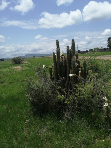
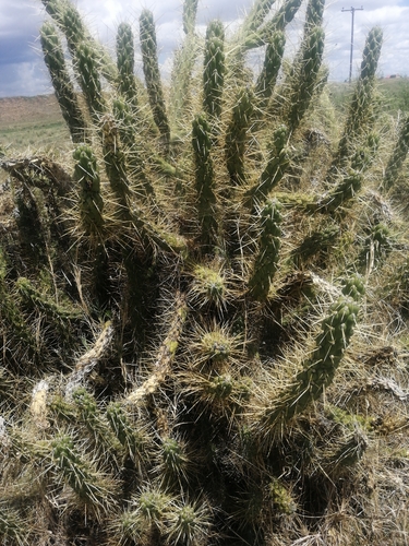
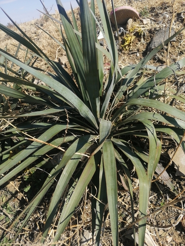
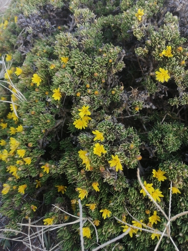
Gallery
Geotagged photos within ~6 miles of Selosesha 10, from Wikimedia Commons contributors.
 3.4 mi
 3.4 mi
.jpg) 3.5 mi
3.5 mi 3.9 mi
 3.9 mi
.jpg) 3.9 mi
3.9 mi.jpg) 4 mi
4 mi 4.5 mi
.jpg) 4.5 mi
4.5 mi 4.6 mi
.jpg) 5 mi
5 mi.jpg) 5.1 mi
5.1 mi.jpg) 5.1 mi
5.1 mi.jpg) 5.2 mi
5.2 mi.jpg) 5.3 mi
5.3 mi 5.7 mi
 5.8 mi
.jpg) 5.8 mi
5.8 mi 6.2 mi
 6.2 mi
Photos via Wikimedia Commons — see each image page for license & attribution.
Sources
- • Wikimedia Commons
- • Wikidata
- • USGS Earthquake Catalog (global feed)
- • GBIF (Global Biodiversity Information Facility)
- • iNaturalist
- • Open-Meteo / sunrise-sunset.org