Browse / Zambia / Luapula / Chembe
Chembe
Luapulavillage
Demographic figures from Zambia Statistics Agency. Overview below cites Wikipedia and may reference a different year.
City facts
Overview
Chembe is a border town in Chembe District in the Luapula Province of Zambia. It once had the Chembe Ferry as a means of crossing the Luapula River from DR Congo to Zambia, but now it is the home of the Mwanawasa Bridge, named after former president Levy Mwanawasa. The Mwanawasa Bridge connects the M3 road to the Congo Pedicle road, a dirt highway maintained by Zambia through Congolese territory to link Mansa to the Copperbelt.
Read more on WikipediaHistory & geography
Geography
Coordinates & boundaries from the US Census TIGER/Line shapefiles.
Climate
Air quality
Walkability
Amenities nearby
Wildlife & biodiversity
Earthquake history
Photos
Sights & places nearby
Notable people from here
Nearby places in Luapula
Geography & sun
Elevation, sunrise/sunset and daylight from Open-Meteo. Solar climatology from NASA POWER.
Nearby airports
Public attention
Pageview totals from the Wikimedia Pageviews API.
Books about this place
Recent natural events nearby
Ground air-quality sensors
Recently spotted species
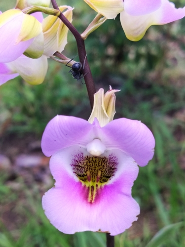
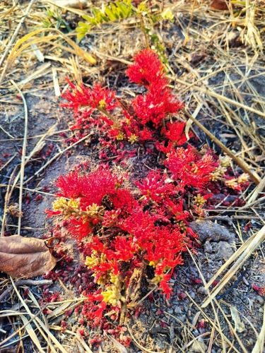
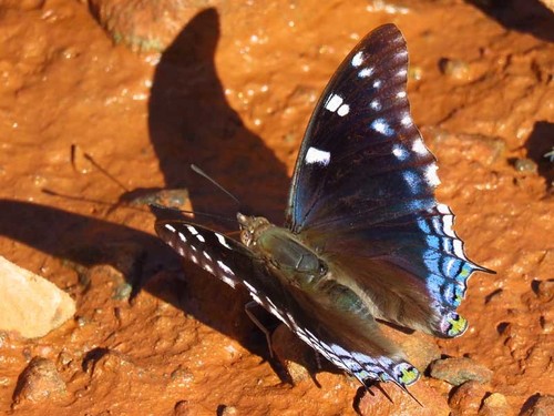
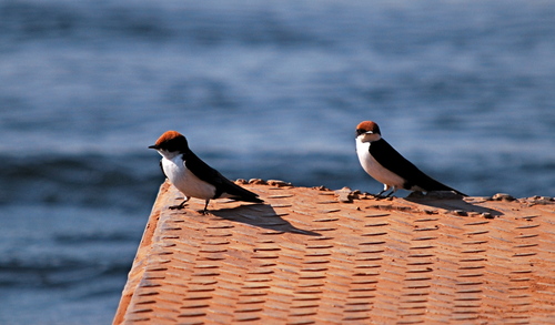
Research-grade observations from iNaturalist (within ~15 mi).
Events
Gallery
Sources
- • Wikipedia
- • Wikidata
- • iNaturalist
- • Open-Meteo / sunrise-sunset.org
- • Wikipedia Pageviews API