Browse / United States / Alaska / Anchor Point
Anchor Point
AlaskaCDP

Anchor Point
Total population
2,243
Air quality index
Demographic figures from US Census Bureau · ACS 5-year estimates. Overview below cites Wikipedia and may reference a different year.
City facts
Facts from Wikidata (CC0).
Overview
Anchor Point is an unincorporated community and census-designated place (CDP) in Kenai Peninsula Borough, in the U.S. state of Alaska. As of the 2020 census, Anchor Point had a population of 2,105. The community is located along the Sterling Highway, part of Alaska State Route 1. Anchor Point is the westernmost point in the North American highway system.
Read more on WikipediaHistory & geography
History
The name "Anchor Point" comes from a legend that when Captain James Cook discovered the area, he lost an anchor. Settlers came beginning in the early 1900s.
Geography
Anchor Point is located at (59.777468, -151.770220) on the eastern shore of Cook Inlet. It is bordered to the north by Happy Valley, to the northeast by Nikolaevsk, and to the south by Diamond Ridge. The Anchor River runs through the southern part of the CDP, entering Cook Inlet just west of the town center. The town is the farthest west on the U.S. highway system. Alaska Route 1 runs southeast from Anchor Bay to Homer and northeast to Soldotna. Anchorage is to the northeast via Route 1. According to the United States Census Bureau, the Anchor Bay CDP has a total area of , of which are land and , or 0.23%, are water.
Excerpted from the corresponding Wikipedia article (CC BY-SA).
Demographics & economy
Geography
Coordinates & boundaries from the US Census TIGER/Line shapefiles.
Climate
Current forecast
Forecast for Anchor Point, AK from NOAA NWS API.
Air quality
Current readings from Open-Meteo Air Quality API (Copernicus CAMS European reanalysis).
Industrial & pollution facilities
Natural hazard risk
Health (adults)
Walkability
Amenities nearby
Wildlife & biodiversity
Most-observed species
- Bald EagleHaliaeetus leucocephalus (Linnaeus, 1766) · Aves6,507
- American CrowCorvus brachyrhynchos C.L.Brehm, 1822 · Aves5,508
- Glaucous-winged GullLarus glaucescens J.F.Naumann, 1840 · Aves3,935
- Short-billed GullLarus brachyrhynchus Richardson, 1831 · Aves3,359
- MallardAnas platyrhynchos Linnaeus, 1758 · Aves2,926
- Black-billed MagpiePica hudsonia (Sabine, 1823) · Aves2,919
- Black-legged KittiwakeRissa tridactyla (Linnaeus, 1758) · Aves2,602
- Red-breasted NuthatchSitta canadensis Linnaeus, 1766 · Aves2,488
Citizen-science & research observations from the Global Biodiversity Information Facility (GBIF).
Schools
Earthquake history
Most recent
- M 2.6 — 2026-10-0146 km W of Happy Valley, Alaska
- M 3 — 2026-10-0163 km SE of Port Graham, Alaska
- M 3.4 — 2026-10-0123 km NW of Nanwalek, Alaska
- M 3 — 2026-10-0138 km WNW of Anchor Point, Alaska
- M 2.7 — 2026-09-2813 km NNW of Ninilchik, Alaska
- M 3.6 — 2026-09-2842 km WSW of Anchor Point, Alaska
Events from the USGS Earthquake Catalog (global) (FDSN Event Web Service).
Photos
Sights & places nearby
Notable people from here
Nearby places in Alaska
- Nikolaevsk6.6 mi away · pop. 245
- Happy Valley11.9 mi away · pop. 775
- Seldovia21.3 mi away · pop. 202
- Ninilchik23.9 mi away · pop. 965
- Sterling62.8 mi away · pop. 6,323
- Lowell Point79.6 mi away
- Cooper Landing82 mi away · pop. 227
- Seward83.9 mi away · pop. 2,794
- Pedro Bay84.6 mi away · pop. 14
- Bear Creek86.5 mi away · pop. 1,732
- Moose Pass92.9 mi away · pop. 202
- Crown Point93.4 mi away · pop. 65
Geography & sun
Elevation, sunrise/sunset and daylight from Open-Meteo. Solar climatology from NASA POWER.
Nearby airports
Public attention
Pageview totals from the Wikimedia Pageviews API.
Books about Anchor Point
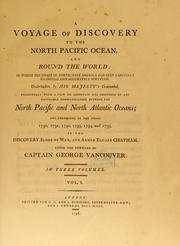
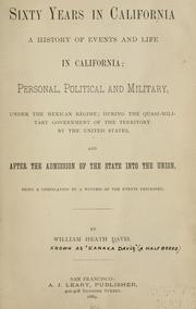
Search results from Open Library.
Recent natural events nearby
Ground air-quality sensors
Recently spotted species
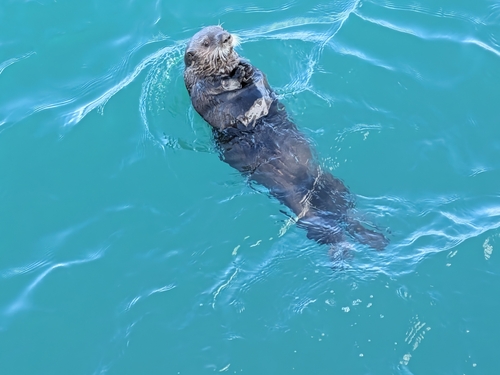
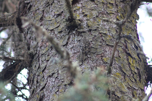
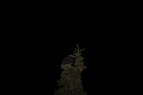
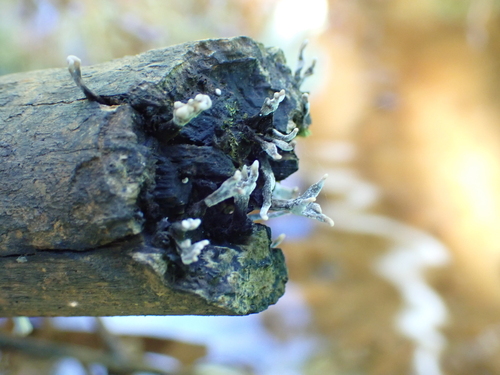
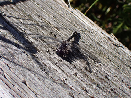
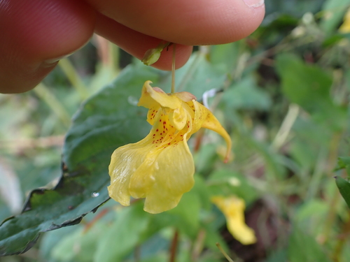
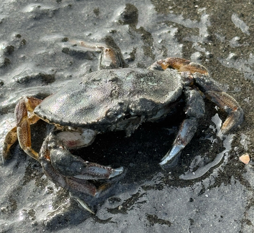
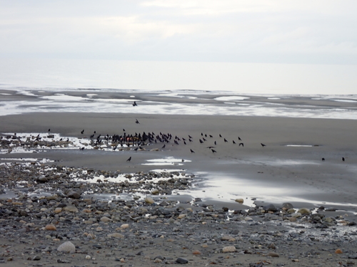
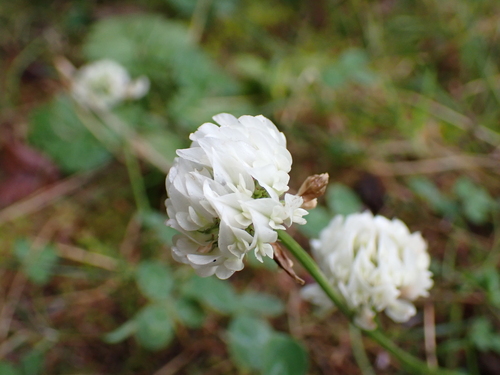
Research-grade observations from iNaturalist (within ~15 mi).
Nearest stream gauge
Live readings from USGS NWIS · measured 2026-10-05 15:45 UTC.
Events
Gallery
Sources
- • Wikipedia
- • NOAA National Weather Service
- • Wikidata
- • Open-Meteo Air Quality (CAMS)
- • USGS Earthquake Catalog (global feed)
- • USGS NWIS (water data)
- • GBIF (Global Biodiversity Information Facility)
- • iNaturalist
- • Open-Elevation
- • Open-Meteo / sunrise-sunset.org
- • Wikipedia Pageviews API
- • Open Library